Map of North Lewis - OS Explorer Map 460 (St Kilda & Flannan Isles) Format: Folded map Physical Size: 890 x 1000 mm (134 x 227 mm folded) Standard Publication Date: 27/02/2023 Weatherproof Publication Date: 22/09/2023
Map of Shetland - Mainland Central - OS Explorer Map 467 (Lerwick, Papa Stour & Foula) Format: Folded map Physical Size: 890 x 1000 mm (134 x 227 mm folded) Standard Publication Date: 16/09/2015 Weatherproof Publication Date: 16/09/2015
Map of North Uist & Berneray - OS Explorer Map 454 Format: Folded map Physical Size: 890 x 1000 mm (134 x 227 mm folded) Standard Publication Date: 31/05/2023 Weatherproof Publication Date: 14/06/2023
Map of Orkney - Hoy, South Walls & Flotta - OS Explorer Map 462 Format: Folded map Physical Size: 1270 x 952 mm (133 x 240 mm folded) Standard Publication Date: 16/09/2015 Weatherproof Publication Date: 16/09/2015
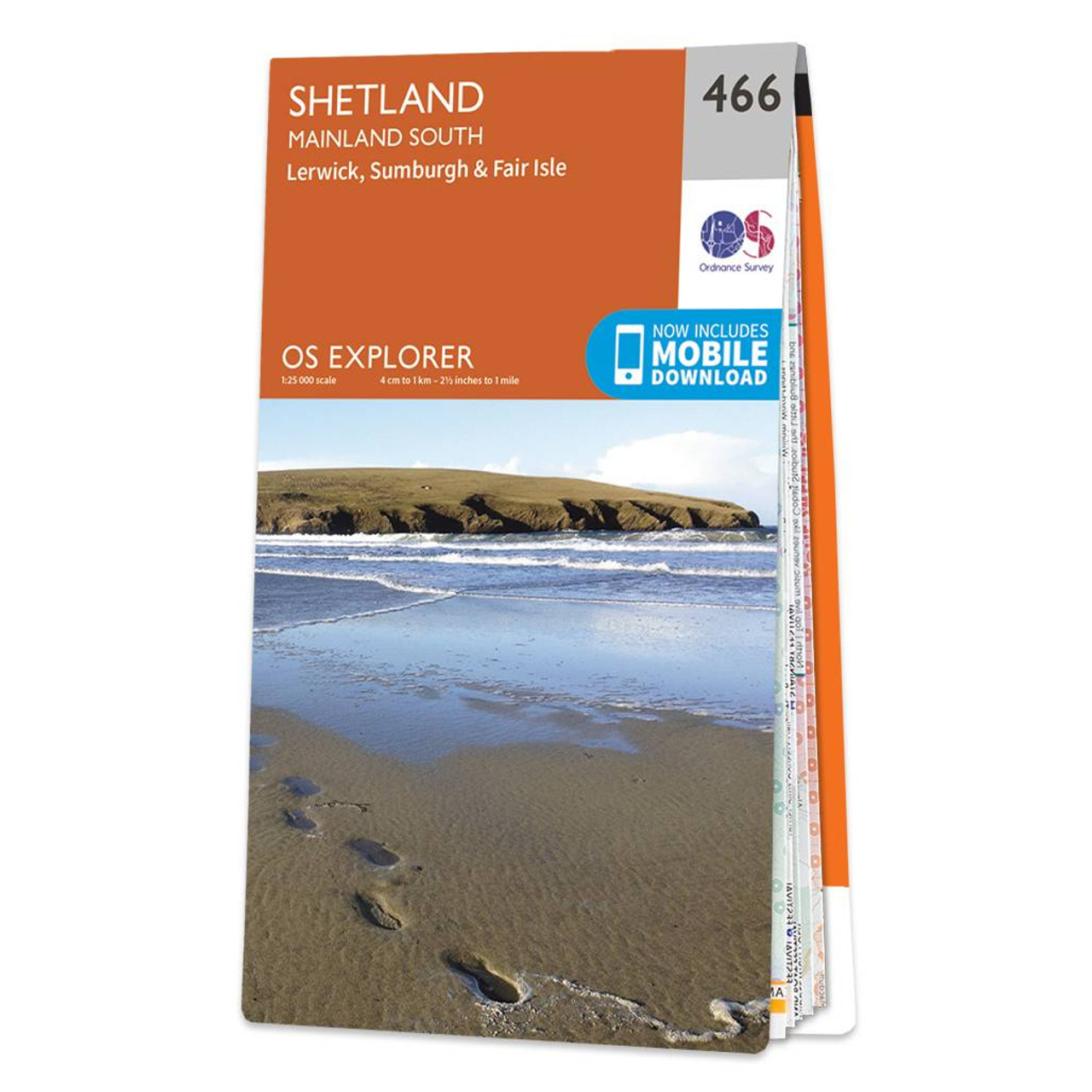
Map of Shetland - Mainland South - OS Explorer Map 466 (Lerwick, Sumburgh & Fair Isle) Format: Folded map Physical Size: 890 x 1000 mm (134 x 227 mm folded) Standard Publication Date: 16/09/2015 Weatherproof Publication Date: 16/09/2015
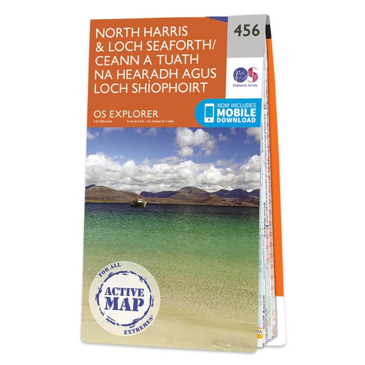
Map of North Harris & Loch Seaforth - OS Explorer Map 456 Format: Folded map Physical Size: 1270 x 952 mm (133 x 240 mm folded) Standard Publication Date: 20/04/2023 Weatherproof Publication Date: 25/05/2023

Map of West Lewis - OS Explorer Map 458 (Callanish & Great Bernera) Format: Folded map Physical Size: 1270 x 952 mm (133 x 240 mm folded) Standard Publication Date: 16/09/2015 Weatherproof Publication Date: 16/09/2015
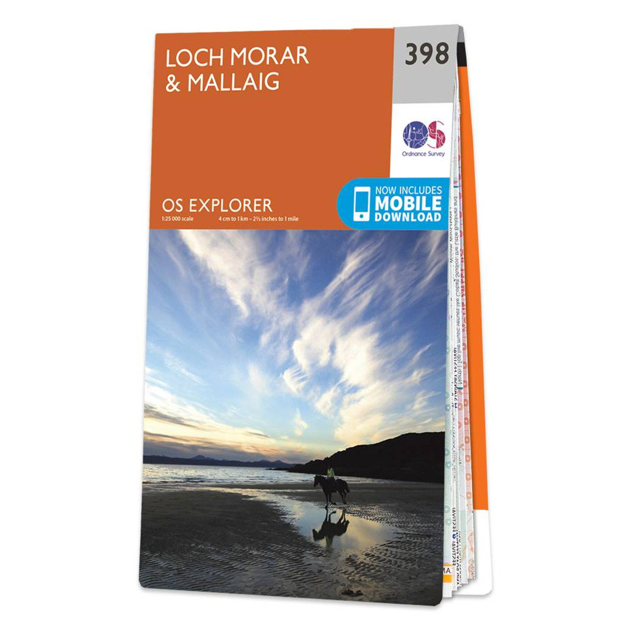
OS Explorer Map 398: Loch Morar and Mallaig. Discover this remote are of the Scottish West coast with our most detailed mapping for walking and climbing. Free UK delivery. Format: Folded map Physical Size: 890 x 1000 mm (134 x 227 mm folded) Standard...
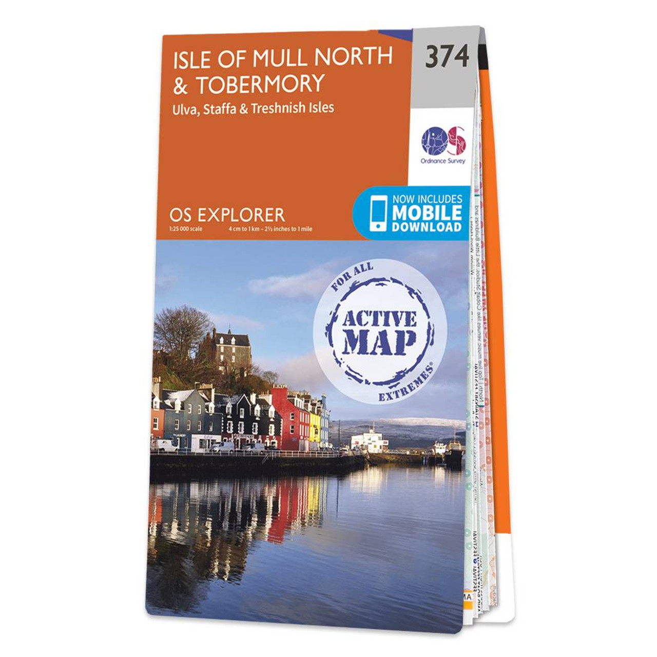
Map of Isle of Mull North & Tobermory - OS Explorer Map 374 (Ulva, Staffa & Treshnish Isles) Format: Folded map Physical Size: 890 x 1000 mm (134 x 227 mm folded) Standard Publication Date: 16/09/2015 Weatherproof Publication Date: 16/09/2015
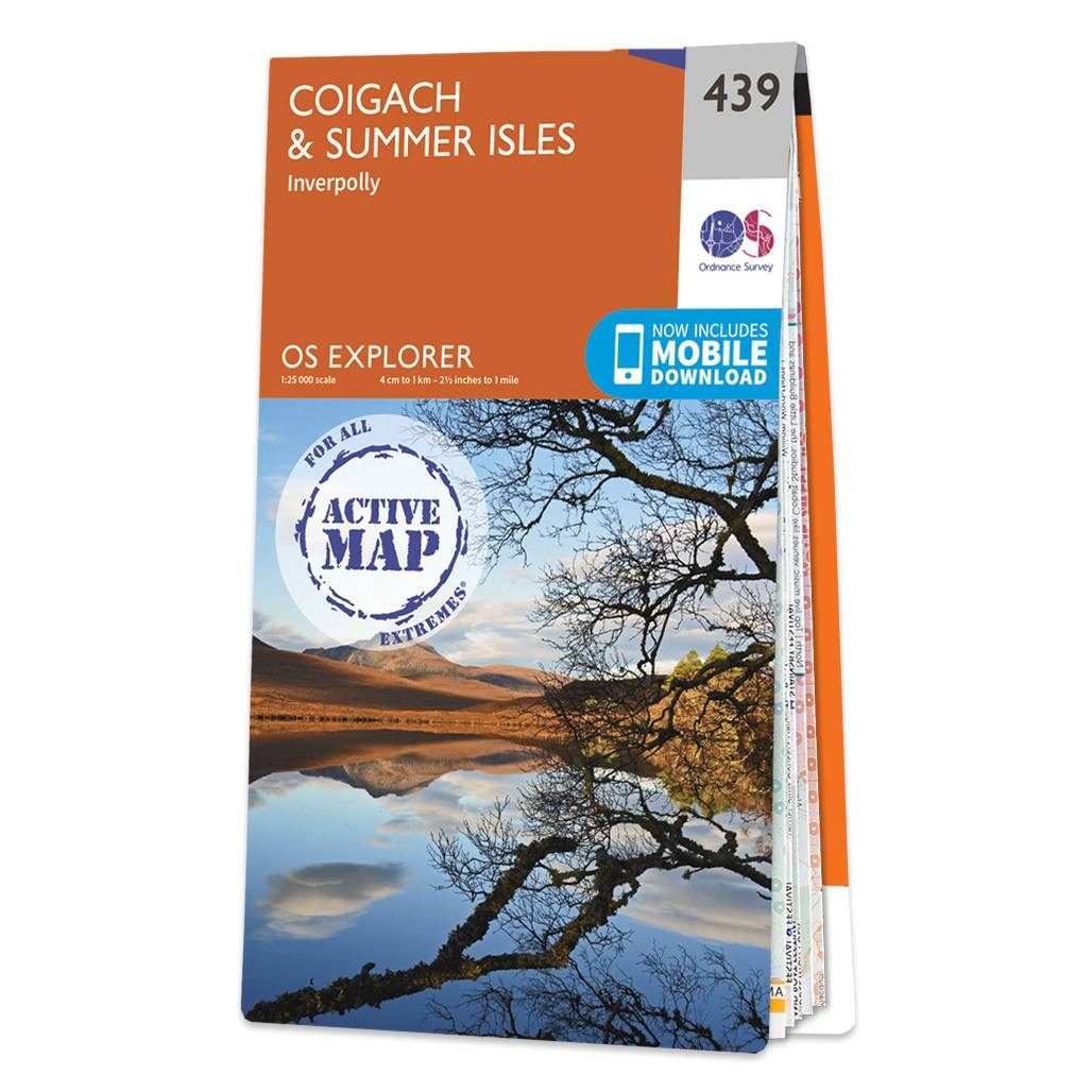
Map of Coigach & Summer Isles - OS Explorer Map 439 (Inverpolly) Format: Folded map Physical Size: 890 x 1000 mm (134 x 227 mm folded) Standard Publication Date: 16/09/2015 Weatherproof Publication Date: 16/09/2015
|
|