|
|
Map of Coigach & Summer Isles - OS Explorer Map 439 (Inverpolly) Format: Folded map Physical Size: 890 x 1000 mm (134 x 227 mm folded) Standard Publication Date: 16/09/2015 Weatherproof Publication Date: 16/09/2015
Price: £16.99 from Ordnance Survey
| Retailer | Price | |
|---|---|---|
| Ordnance Survey | £16.99 | Go to shop |
Map of Isles of Scilly - OS Explorer Map 101 Standard Publication Date: 16/09/2015 Weatherproof Publication Date: 16/09/2015
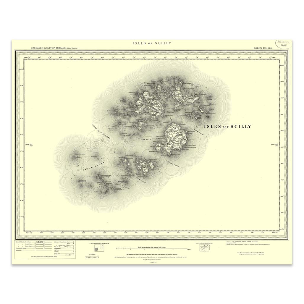
An authentic reproduction Ordnance Survey map of Isles of Scilly from the Revised New Edition, 1896 to 1904. Printed flat, and delivered rolled in a tube. About our range of historical maps Our stunning Ordnance Survey Historical Maps make ideal gifts....

Revel in everything the furthest point of Cornwall has to offer with the Land's End & Isles of Scilly Landranger. Discover beautiful gems, like the 'Minack Theatre' — a marvellous amphitheatre built into the rock at Porthcurno.Take a wonder along St...
|
|