|
|
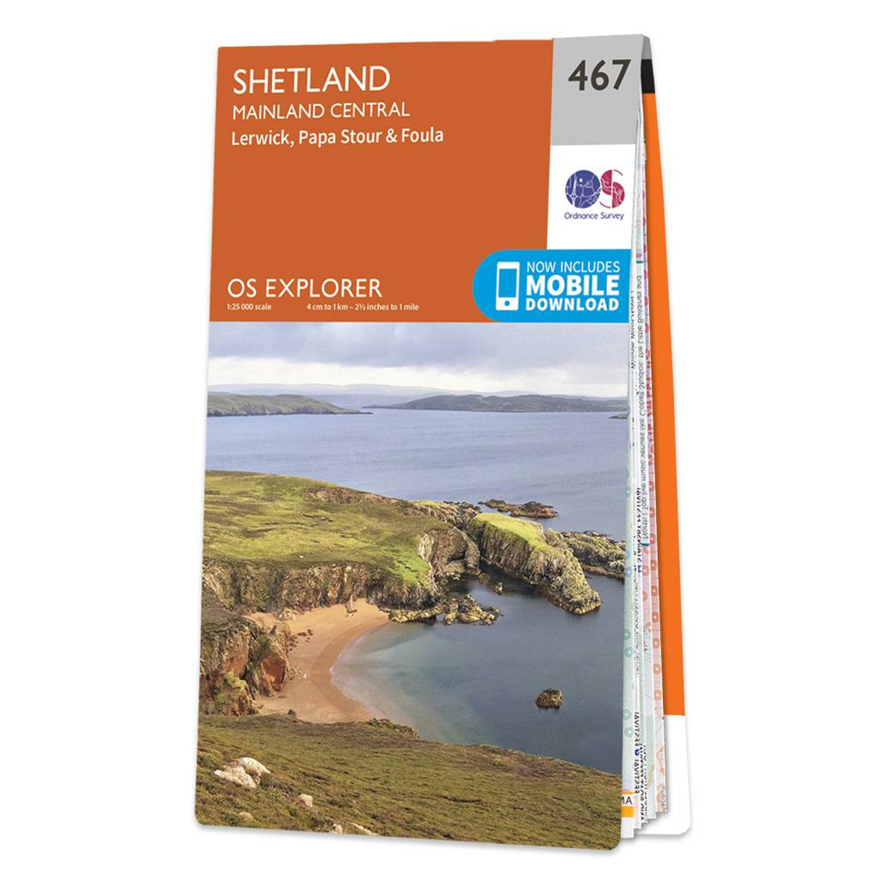
Map of Shetland - Mainland Central - OS Explorer Map 467 (Lerwick, Papa Stour & Foula) Format: Folded map Physical Size: 890 x 1000 mm (134 x 227 mm folded) Standard Publication Date: 16/09/2015 Weatherproof Publication Date: 16/09/2015
Price: £12.99 from Ordnance Survey
| Retailer | Price | |
|---|---|---|
| Ordnance Survey | £12.99 | Go to shop |
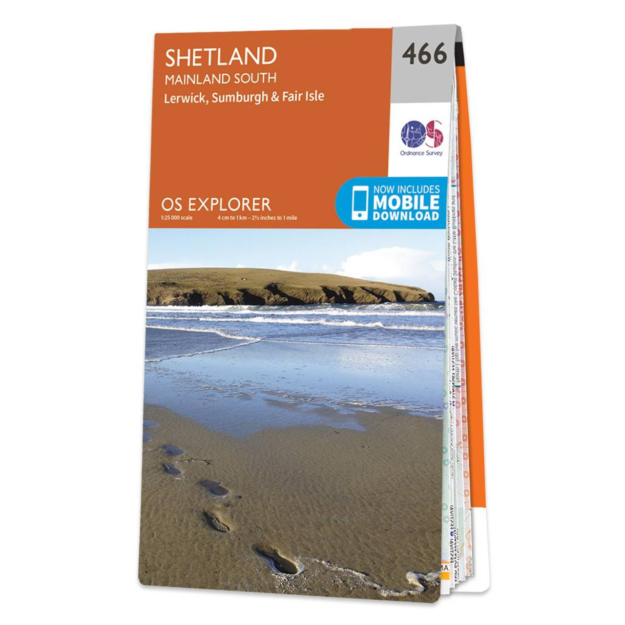
Map of Shetland - Mainland South - OS Explorer Map 466 (Lerwick, Sumburgh & Fair Isle) Format: Folded map Physical Size: 890 x 1000 mm (134 x 227 mm folded) Standard Publication Date: 16/09/2015 Weatherproof Publication Date: 16/09/2015

Map of Shetland - Mainland North East - OS Explorer Map 468 (Whalsay & Out Skerries) Format: Folded map Physical Size: 1270 x 952 mm (133 x 240 mm folded) Standard Publication Date: 16/09/2015 Weatherproof Publication Date: 16/09/2015
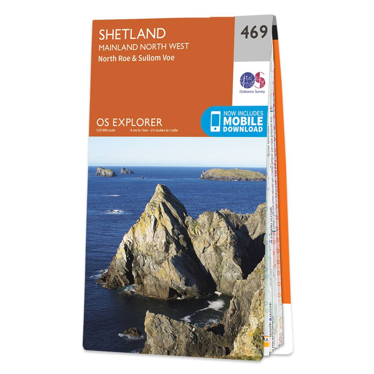
Map of Shetland - Mainland North West - OS Explorer Map 469 (North Roe & Sullom Voe) Format: Folded map Physical Size: 1000 x 890 mm (134 x 227 mm folded) Standard Publication Date: 16/09/2015 Weatherproof Publication Date: 16/09/2015
|
|