
An authentic reproduction Ordnance Survey map of Brighton from the Revised New Edition, 1896 to 1904. Printed flat, and delivered rolled in a tube. About our range of historical maps Our stunning Ordnance Survey Historical Maps make ideal gifts. Perfect...

An authentic reproduction Ordnance Survey map of Silloth from the Revised New Edition, 1896 to 1904. Printed flat, and delivered rolled in a tube. About our range of historical maps Our stunning Ordnance Survey Historical Maps make ideal gifts. Perfect...
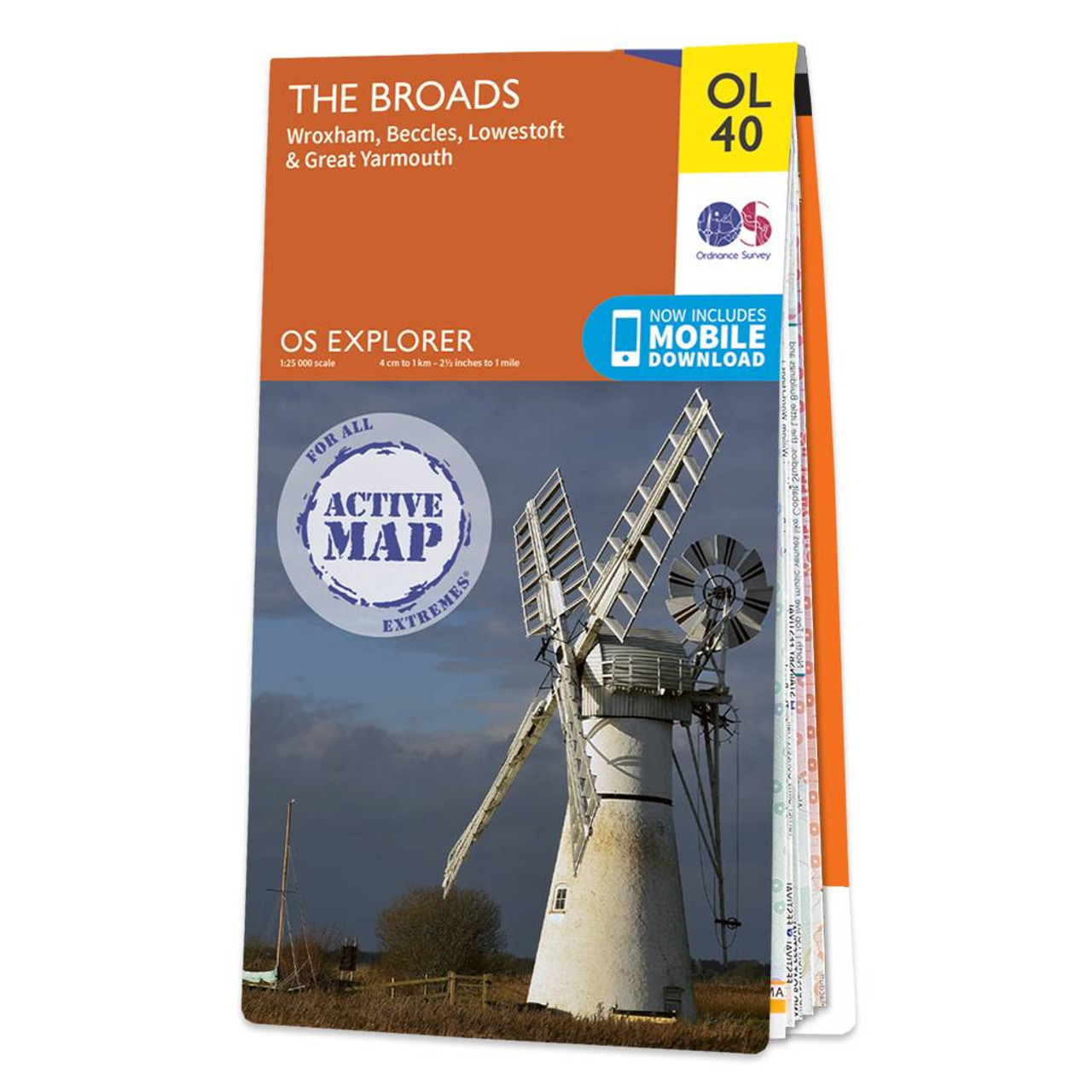
The OS Explorer map of the Broads; a member of the national park family, it features the rivers: Burne, Ant, Thurne, Yare, Chet, and Waveney.The map also includes the Norfolk and Suffolk coasts, as well as the seaside towns of Great Yarmouth — renowned...

Luton & Hertford (inc. Hitchin & St Albans) map - OS Landranger 166 Standard Publication Date: 10/05/2018 Weatherproof Publication Date: 28/06/2018
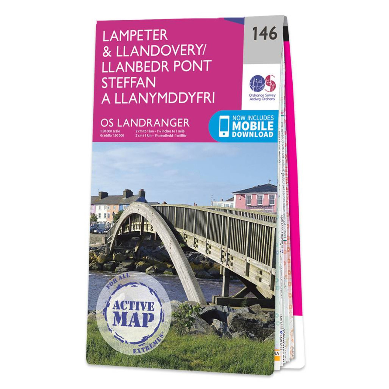
Lampeter & Llandovery map - OS Landranger 146 Standard Publication Date: 24/02/2016 Weatherproof Publication Date: 24/02/2016
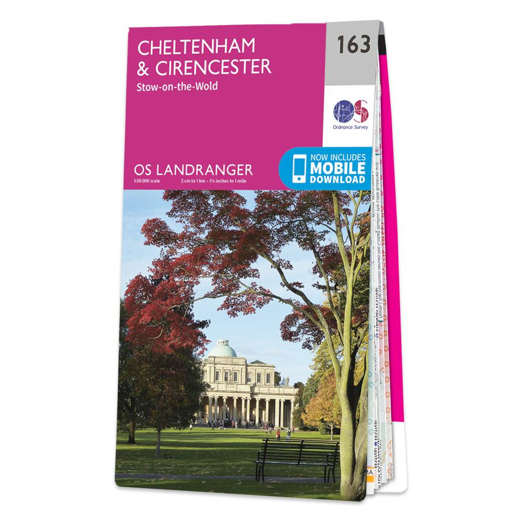
The Landranger map of Cheltenham and Cirencester, including Stow-on-the-wold. Landranger maps are perfect for extensive hikes, cycling, and driving holidays. Ideal for planning days out or holidays to the area, including The Cotswold Way, Thames Path,...
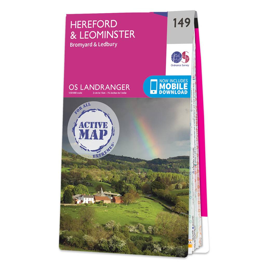
Hereford & Leominster (inc. Bromyard & Ledbury) map - OS Landranger 149 Standard Publication Date: 16/05/2022 Weatherproof Publication Date: 10/02/2023
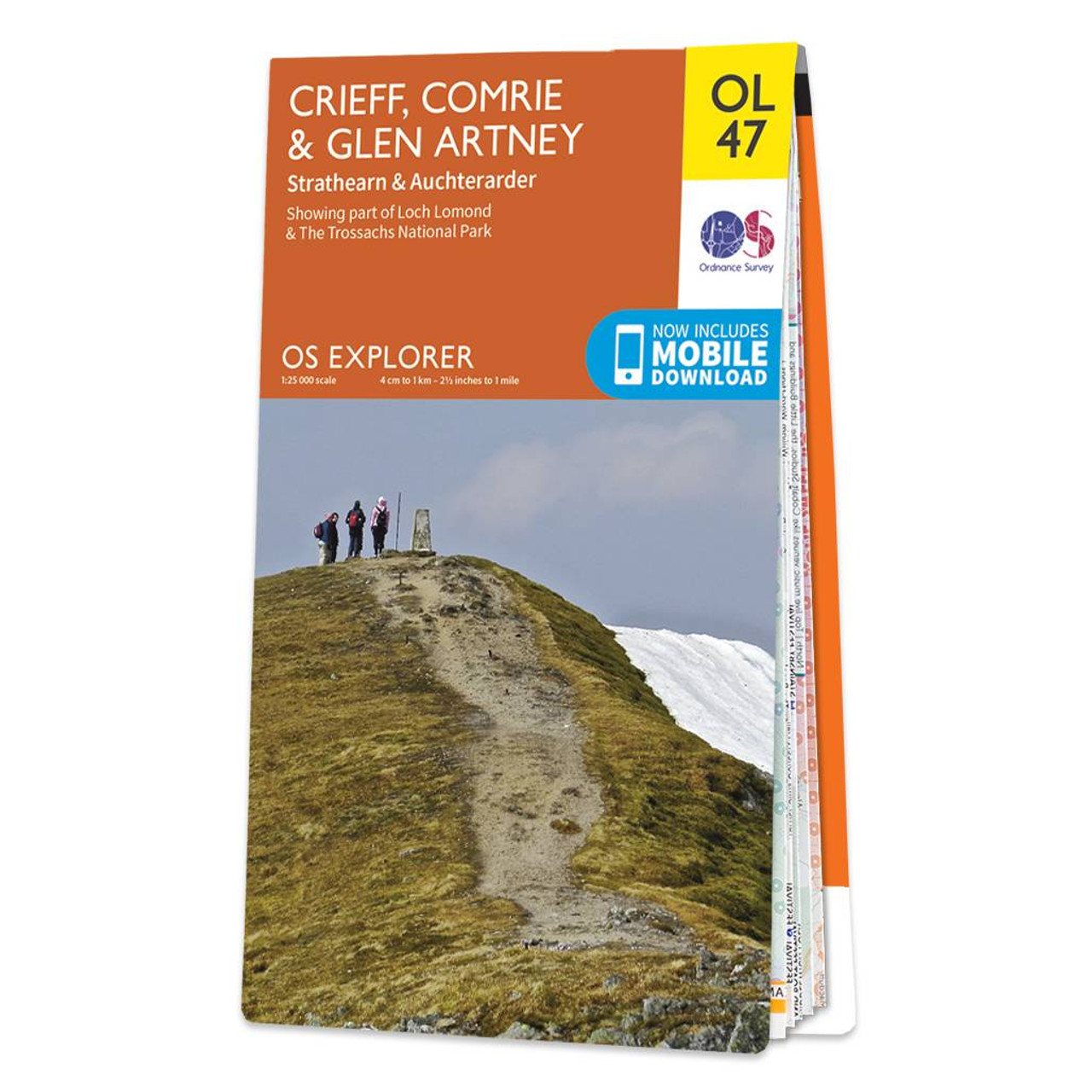
Map of Crieff, Comrie & Glen Artney - OS Explorer Map OL 47 (Strathearn & Auchterarder) Standard Publication Date: 10/06/2015 Weatherproof Publication Date: 10/06/2015
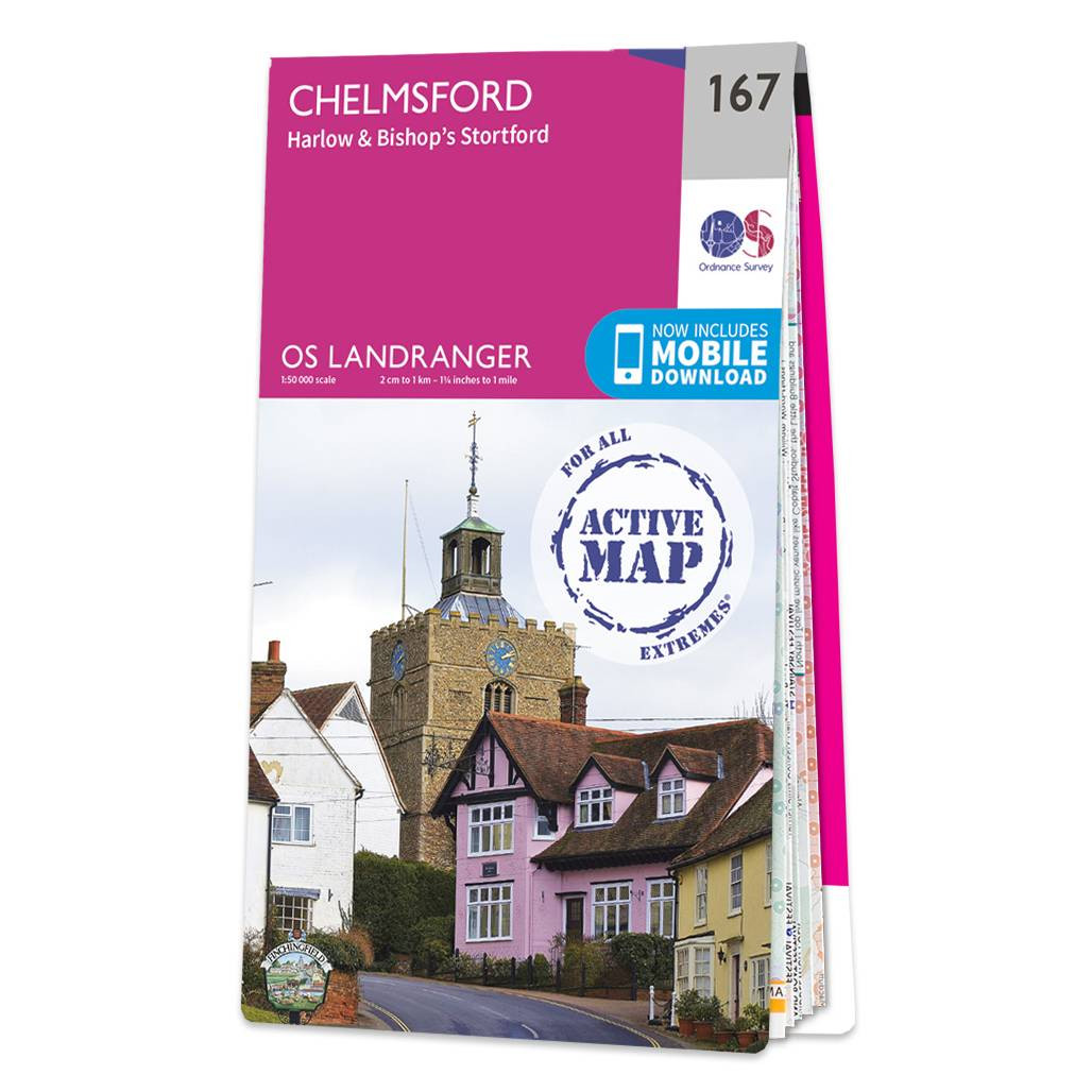
Chelmsford (inc. Harlow & Bishop's Stortford) map - OS Landranger 167 Format: Folded map Physical Size: 1000 x 890 mm (134 x 227 mm folded) Standard Publication Date: 24/02/2016 Weatherproof Publication Date: 24/02/2016
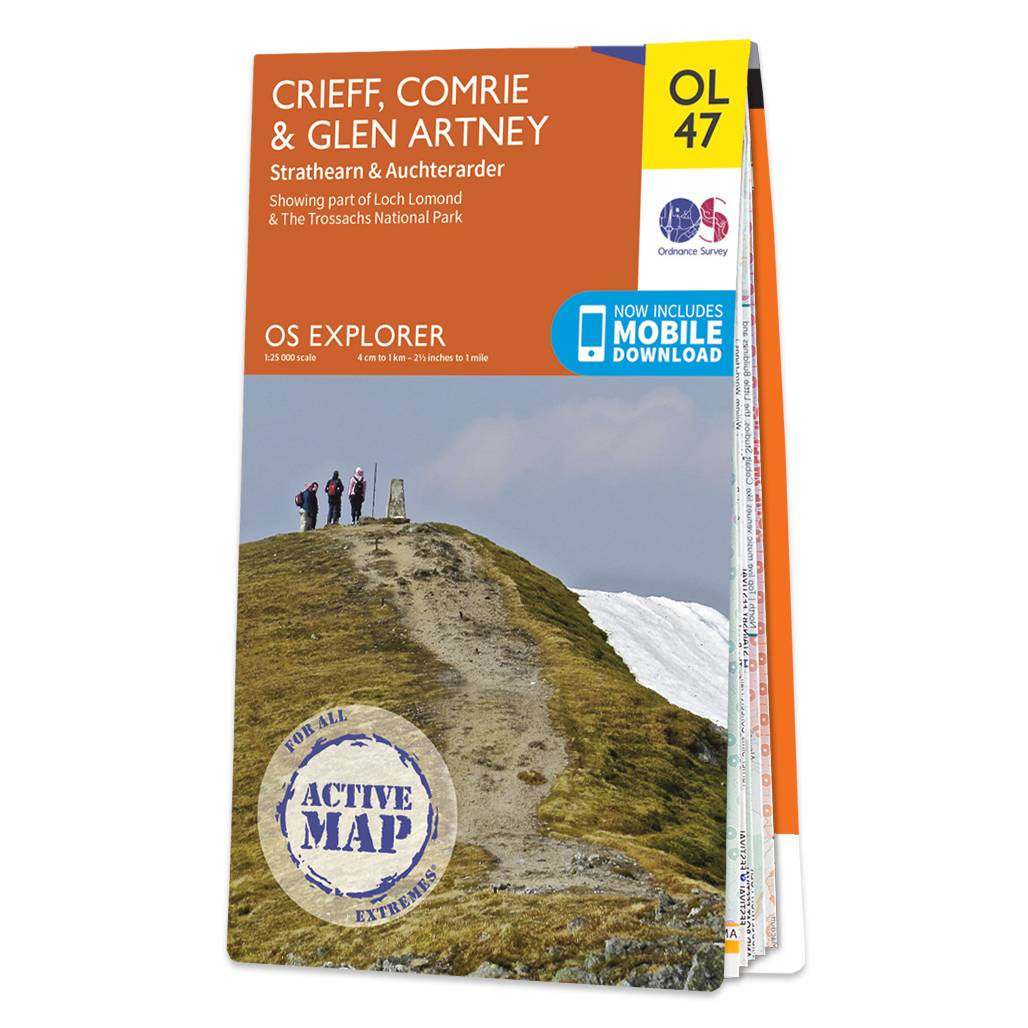
Map of Crieff, Comrie & Glen Artney - OS Explorer Map OL 47 (Strathearn & Auchterarder) Standard Publication Date: 10/06/2015 Weatherproof Publication Date: 10/06/2015
|
|