|
|
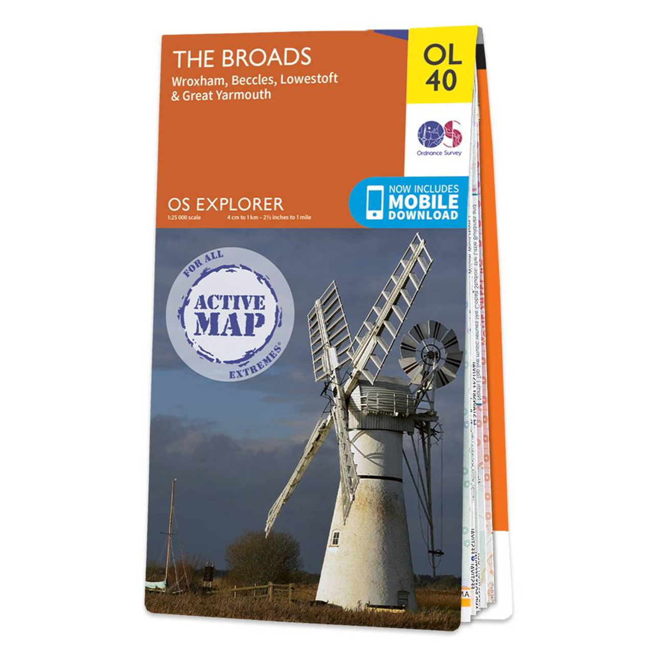
The OS Explorer map of the Broads; a member of the national park family, it features the rivers: Burne, Ant, Thurne, Yare, Chet, and Waveney.The map also includes the Norfolk and Suffolk coasts, as well as the seaside towns of Great Yarmouth — renowned for its long sandy beaches, and Lowestoft the most easterly town and first place to see sunrise in the UK.Our Explorer maps come in both standard and weather proof, so you'll never get caught out in a storm. This map also comes with a free digital download, so you can access it across your devices, making for a convenient companion. Standard Publication Date: 08/01/2024 Weatherproof Publication Date: 16/05/2024
Price: £16.99 from Ordnance Survey
| Retailer | Price | |
|---|---|---|
| Ordnance Survey | £16.99 | Go to shop |
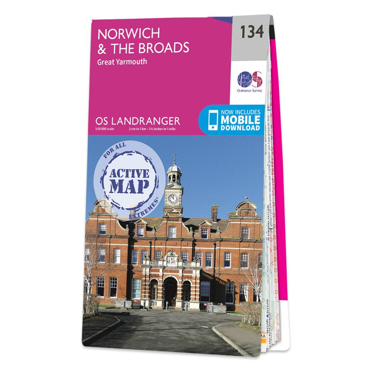
The Landranger map of Norwich & The Broads, including Great Yarmouth is a must-have for your next trip to the area. Landranger maps are perfect for extensive hikes, cycling, and driving holidays. Ideal for planning days out or holidays to The Broads —...

Map of Helmsdale & Strath of Kildonan - OS Explorer Map 444 Format: Folded map Physical Size: 1000 x 890 mm (134 x 227 mm folded) Standard Publication Date: 16/09/2015 Weatherproof Publication Date: 16/09/2015

Map of Coll & Tiree - OS Explorer Map 372 Format: Folded map Physical Size: 1000 x 890 mm (134 x 227 mm folded) Standard Publication Date: 16/09/2015 Weatherproof Publication Date: 16/09/2015
|
|