|
|
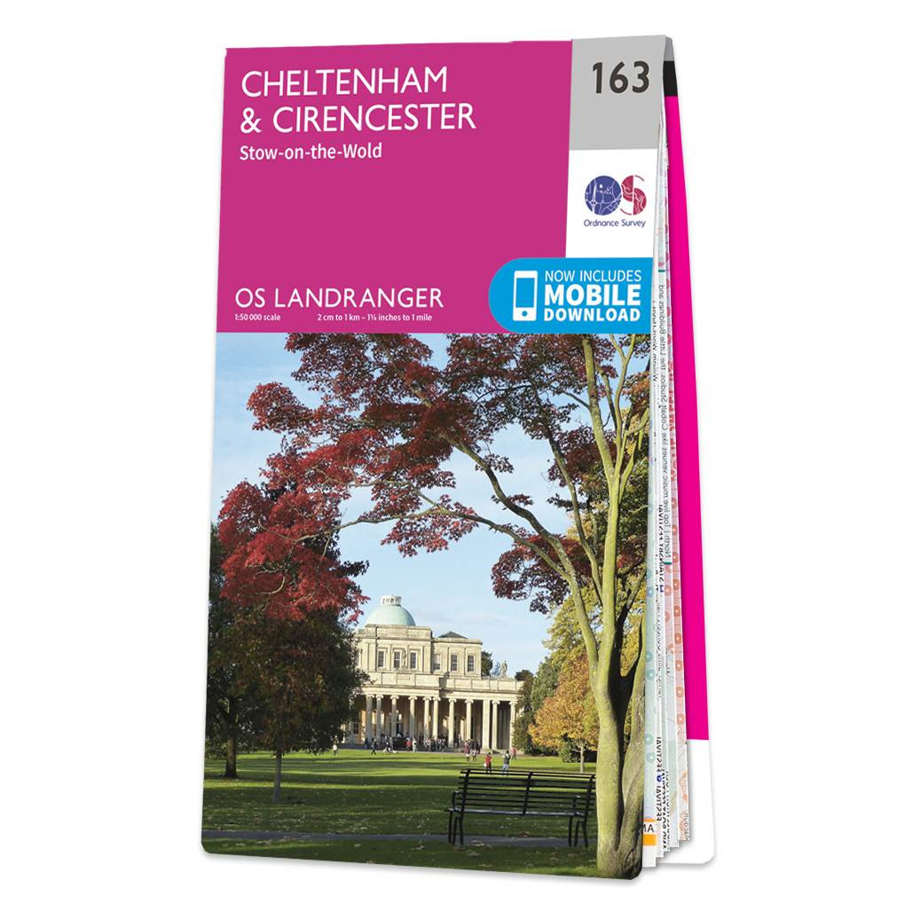
The Landranger map of Cheltenham and Cirencester, including Stow-on-the-wold. Landranger maps are perfect for extensive hikes, cycling, and driving holidays. Ideal for planning days out or holidays to the area, including The Cotswold Way, Thames Path, and the E2 European Long Distance Path. Take a stroll and soak in this Area of Outstanding Natural Beauty. Other highlights of this map include: Cheltenham (named the cultural centre for the Cotswolds; a historic town sporting a vast array of gardens, shops, and events), Cirencester and stow-on-the-wold. Our Landranger maps come in standard or Weatherproof Active, you'll also receive a free download for your devices — making for a convenient companion. Format: Folded map Physical Size: 1000 x 890 mm (134 x 227 mm folded) Standard Publication Date: 22/09/2023 Weatherproof Publication Date: 22/09/2023
Price: £12.99 from Ordnance Survey
| Retailer | Price | |
|---|---|---|
| Ordnance Survey | £12.99 | Go to shop |
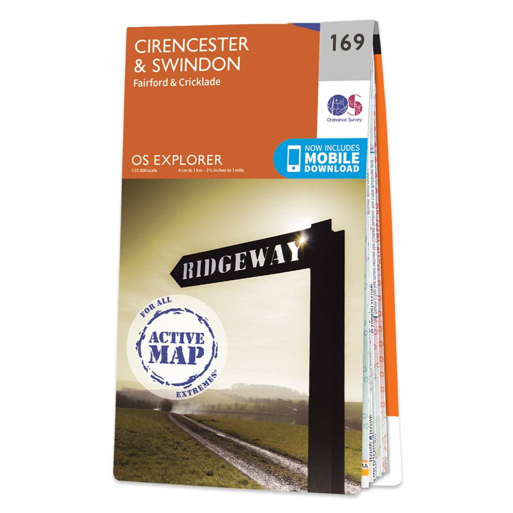
Map of Cirencester & Swindon - OS Explorer Map 169 (Fairford & Cricklade) Format: Folded map Physical Size: 952 x 1270 mm (133 x 240 mm folded) Standard Publication Date: 16/09/2015 Weatherproof Publication Date: 16/09/2015

Coll & Tiree map - OS Landranger 46 Format: Folded map Physical Size: 1000 x 890 mm (134 x 227 mm folded) Standard Publication Date: 24/02/2016 Weatherproof Publication Date: 24/02/2016

Isle of Arran map - OS Landranger 69 Format: Folded map Physical Size: 1000 x 890 mm (134 x 227 mm folded) Standard Publication Date: 24/02/2016 Weatherproof Publication Date: 24/02/2016
|
|