|
|
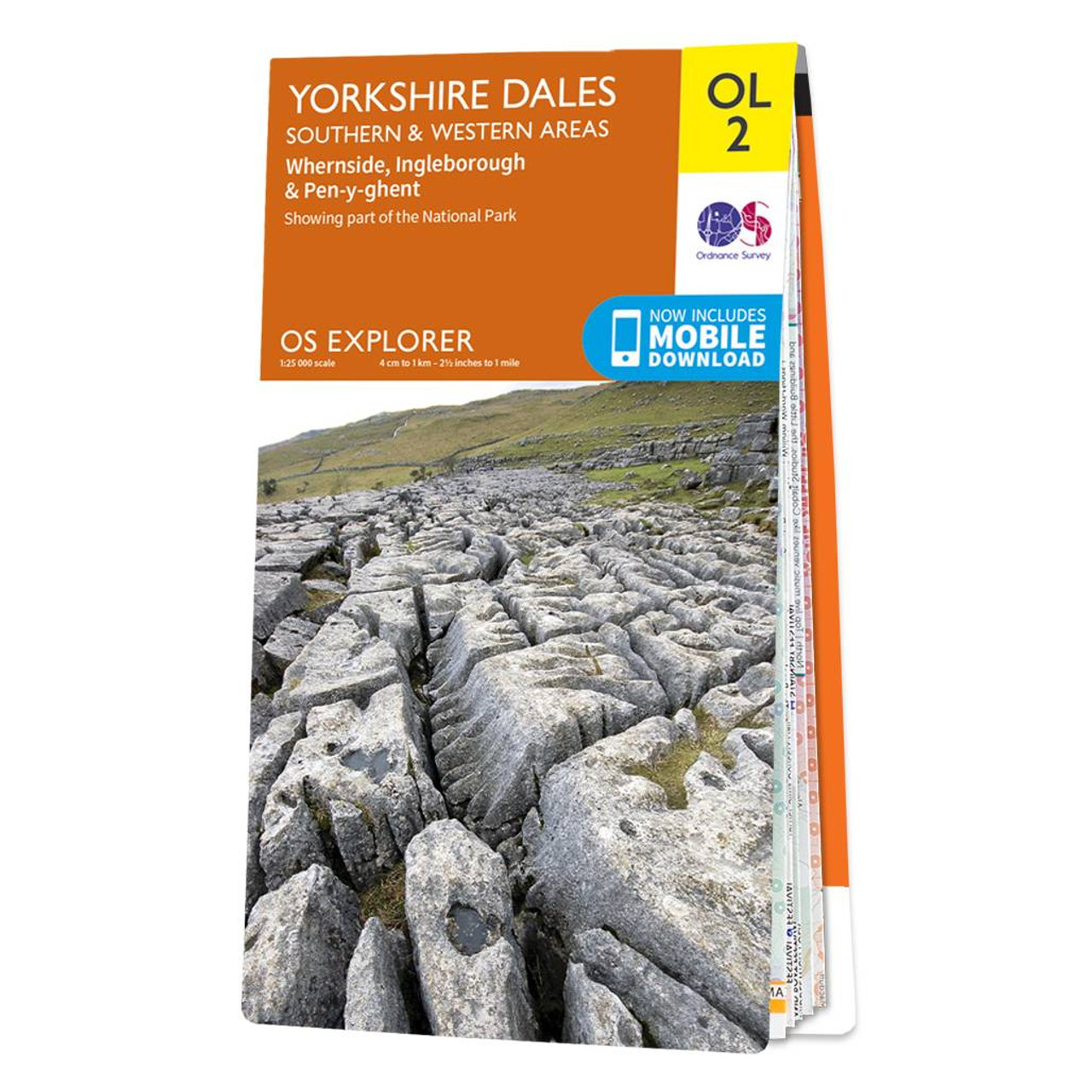
The OS Explorer map of Yorkshire Dales, Southern & Western area includes Whernside, Ingleborough, & Pen-y-ghent is the perfect walking map or long-distance trail map. With Explorer OL2 you can take on the Yorkshire Three Peaks circular route. The total walking distance is 24.5 miles (39.2km), starting at Horton-in-Ribblesdales, Ribblehead or Chapel le Dale, with the circular route finishing at the point you begin. Whether you're looking to take on the three peaks or just looking for an easier walk through the South-West of the dales, this walking map is a must-have. Our OS Explorer maps are perfect for day-tripping, extensive hikes, and cycling. They come in both standard and Weatherproof Active, so you'll never get caught out in a storm. Standard Publication Date: 05/09/2016 Weatherproof Publication Date: 02/06/2025
Price: £12.99 from Ordnance Survey
| Retailer | Price | |
|---|---|---|
| Ordnance Survey | £12.99 | Go to shop |
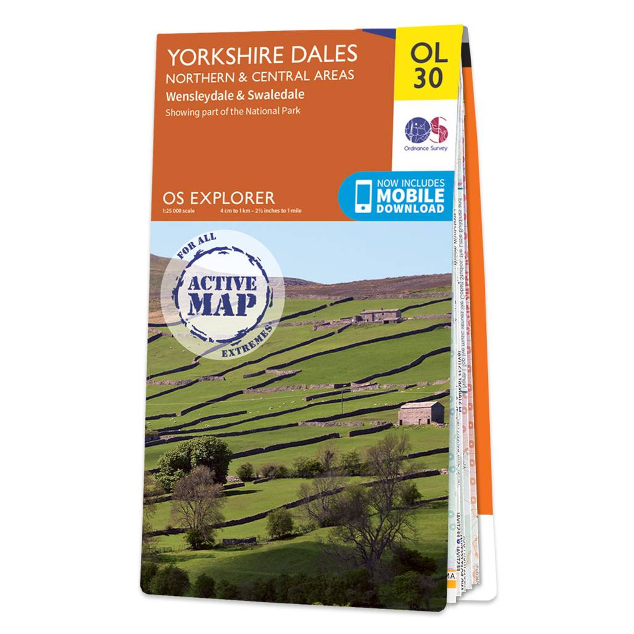
The OS Explorer map of Yorkshire Dales, Northern & Central area, including Wensleydale and Swaledale, is a must-have when visiting the area. There is a wealth of scenery in this part of the Yorkshire Dales National park.Explore the northernmost dale of...
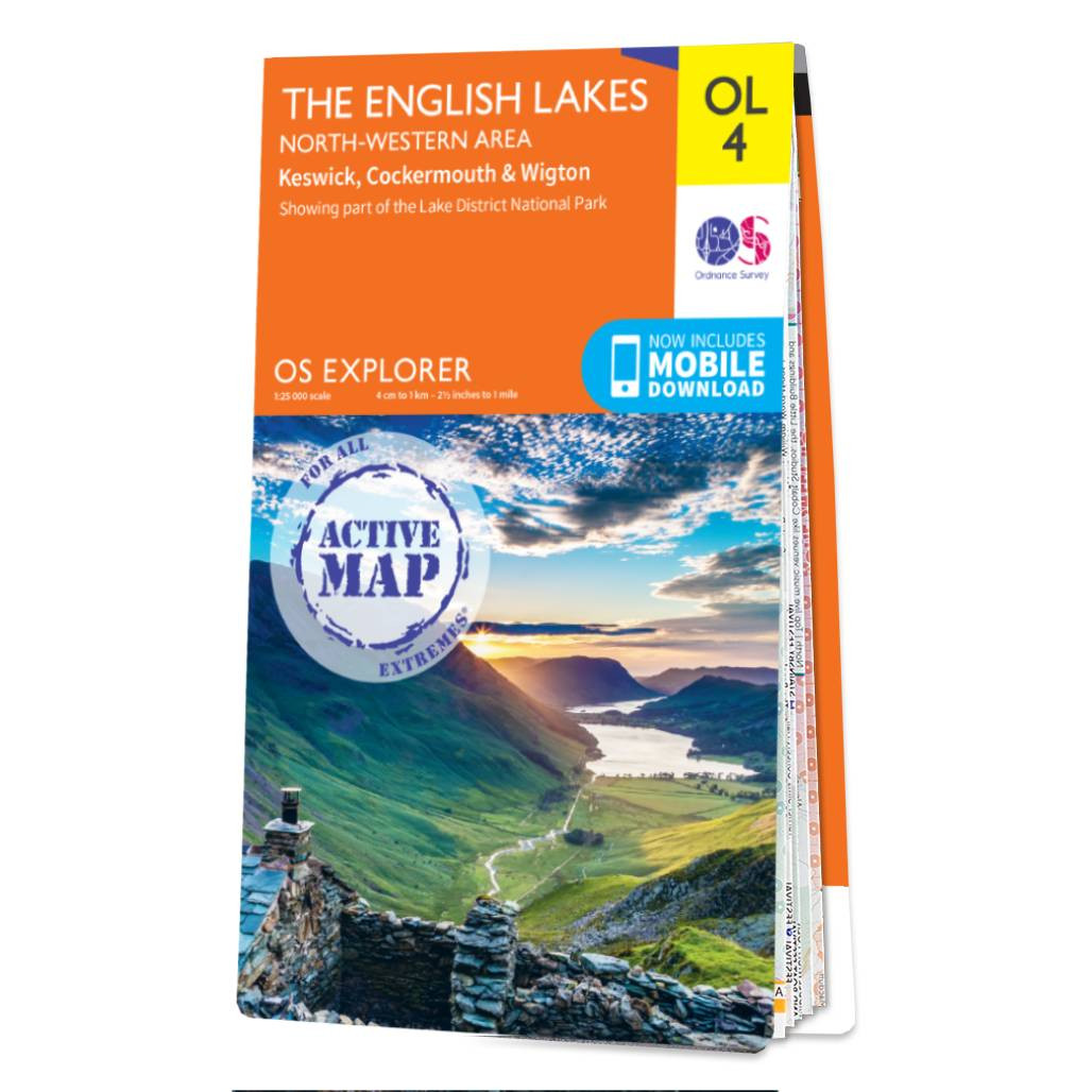
The OS Explorer map of The English Lakes, North Western area, including Keswick, Cockermouth, & Wigton.Explorer OL4 is a must-have when visiting the North-West area of the Lakes. Take in the stunning sights on the Catbells walk, soak up the views at Derwent...

The OS Explorer map of The English Lakes, South-Western Area is a must-have when visiting this area of the Lakes District.Explore the market town of Ulverston — a stunning labyrinth of gorgeous old buildings and cobbled streets. Take on the highest...
|
|