|
|
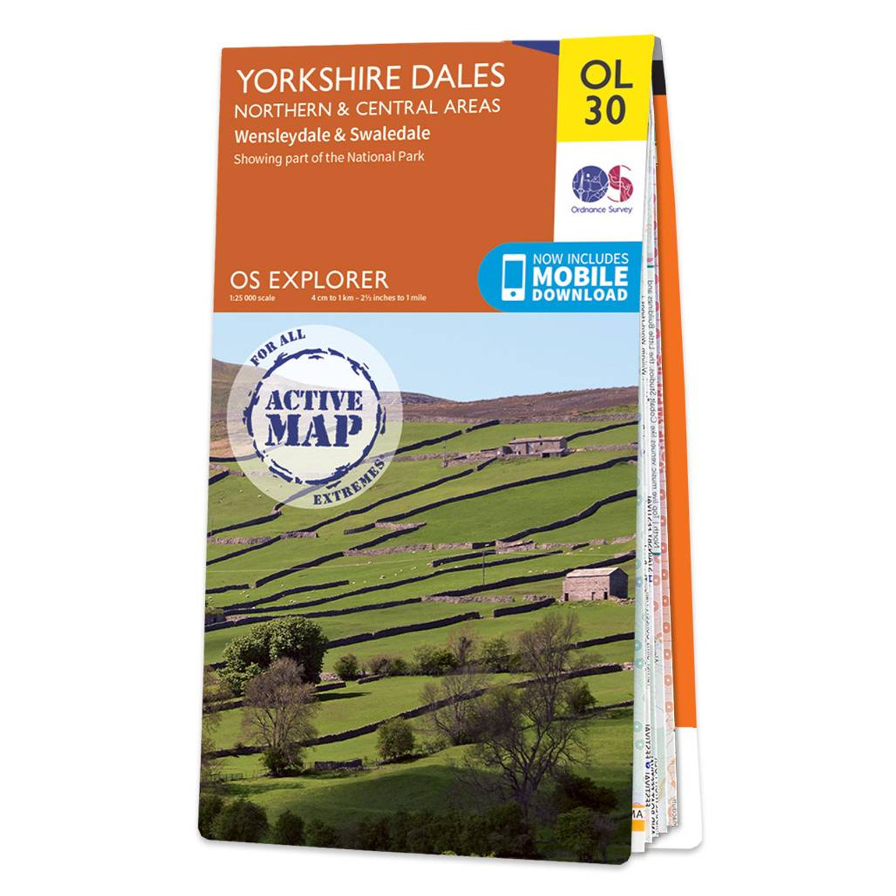
The OS Explorer map of Yorkshire Dales, Northern & Central area, including Wensleydale and Swaledale, is a must-have when visiting the area. There is a wealth of scenery in this part of the Yorkshire Dales National park.Explore the northernmost dale of Swaledale — the dale of the river Swale, or checkout Wensleydale — famous for its cheese of the same name. Other highlights include: Arkengarthdale Valley, Aysgarth Falls, Hawes, and the River Wharfe.Our OS Explorer maps are perfect for day-tripping, extensive hikes, and cycling. They come in both standard and Weatherproof Active, so you'll never get caught out in a storm. This map also comes with a free digital download, so you can access it across your devices — making for a more convenient companion. Standard Publication Date: 16/06/2025 Weatherproof Publication Date: 30/06/2025
Price: £16.99 from Ordnance Survey
| Retailer | Price | |
|---|---|---|
| Ordnance Survey | £16.99 | Go to shop |
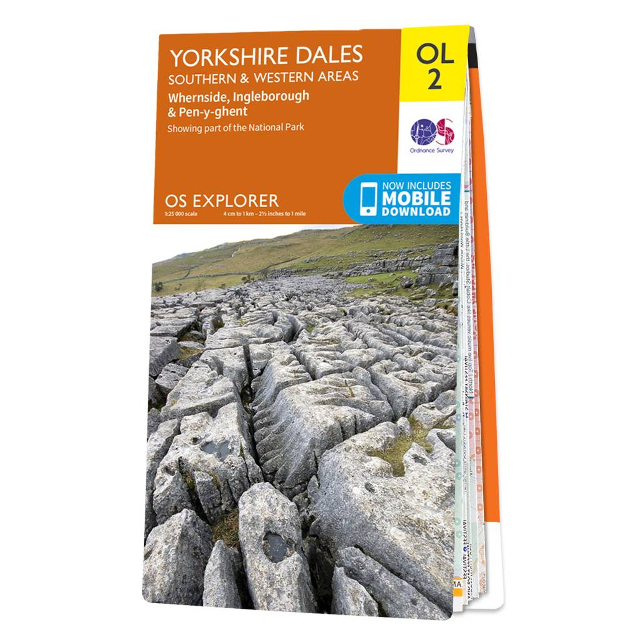
The OS Explorer map of Yorkshire Dales, Southern & Western area includes Whernside, Ingleborough, & Pen-y-ghent is the perfect walking map or long-distance trail map. With Explorer OL2 you can take on the Yorkshire Three Peaks circular route. The total...

Map of Market Weighton & Yorkshire Wolds Central - OS Explorer Map 294 (Pocklington) Standard Publication Date: 16/09/2015 Weatherproof Publication Date: 16/09/2015

Map of Central Lewis & Stornoway - OS Explorer Map 459 (Eye Peninsula & Callanish) Format: Folded map Physical Size: 1000 x 890 mm (134 x 227 mm folded) Standard Publication Date: 30/09/2022 Weatherproof Publication Date: 22/09/2023
|
|