|
|
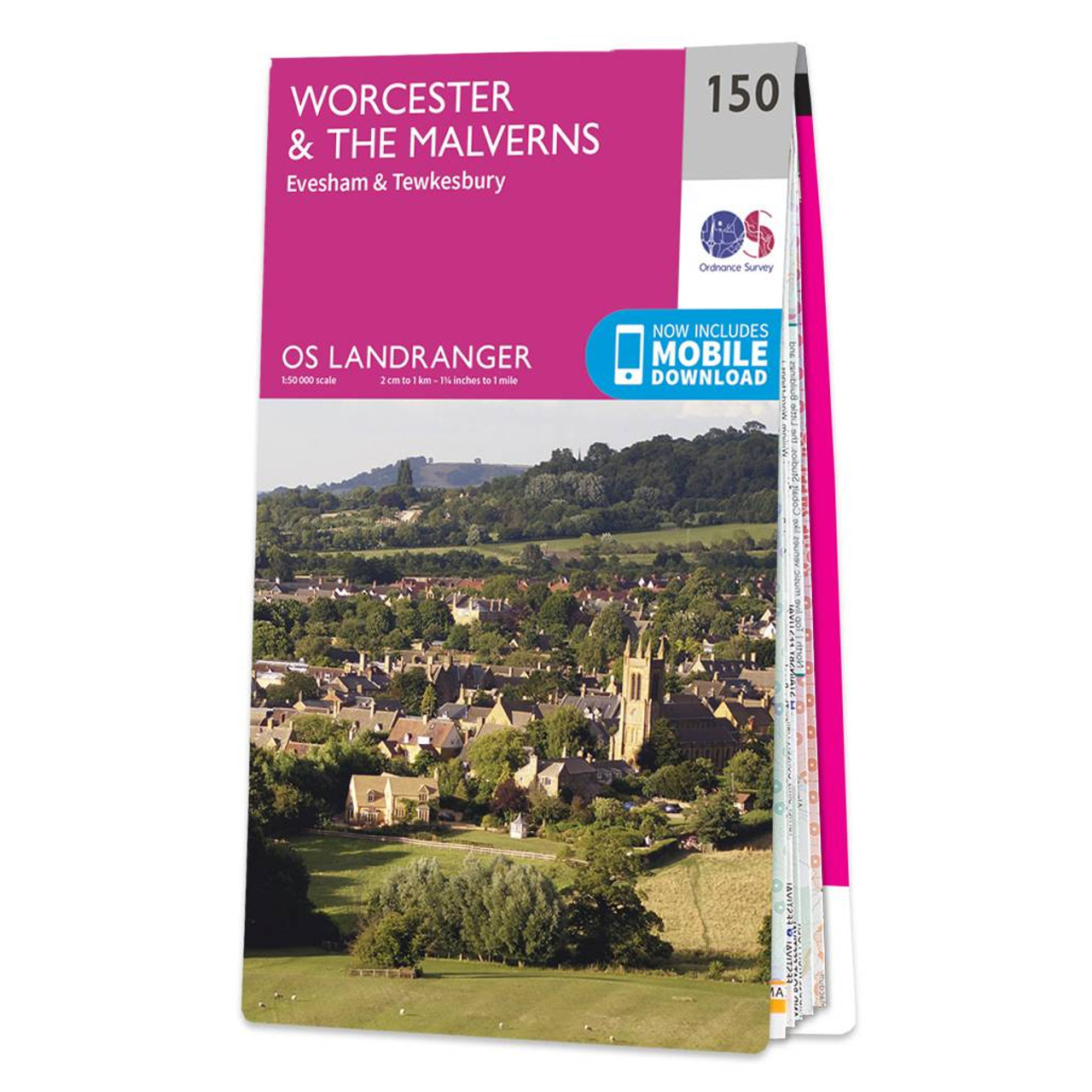
The Landranger map of Worcester and the Malverns, including Evesham and Tewkesbury is a must-have for your next trip to the area. Landranger maps are perfect for extensive hikes, cycling, and driving holidays. Ideal for planning days out or holidays to the area, featuring much of the River Severn and Avon valley – from Redditch in the North to Tewkesbury in the South. Don't forget to visit Worcester and its cathedral, as well as the National Trust Croome House and Gardens.Our Landranger maps come in standard or Weatherproof Active, you'll also receive a free download for your devices — making for a convenient companion. Standard Publication Date: 05/05/2021 Weatherproof Publication Date: 21/07/2021
Price: £12.99 from Ordnance Survey
| Retailer | Price | |
|---|---|---|
| Ordnance Survey | £12.99 | Go to shop |

Discover 28 beautiful walks across The Malverns to Warwickshire with the OS Pathfinder Guidebooks, graded by length and ranging from 3 to 9 miles - ideal for both holidaymakers and locals.The area covered by this guide is characterised by gently rolling...

Coll & Tiree map - OS Landranger 46 Format: Folded map Physical Size: 1000 x 890 mm (134 x 227 mm folded) Standard Publication Date: 24/02/2016 Weatherproof Publication Date: 24/02/2016

Isle of Arran map - OS Landranger 69 Format: Folded map Physical Size: 1000 x 890 mm (134 x 227 mm folded) Standard Publication Date: 24/02/2016 Weatherproof Publication Date: 24/02/2016
|
|