|
|
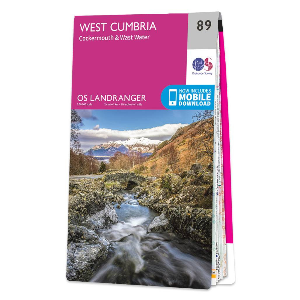
The Landranger map of West Cumbria, including Cockermouth & Wast Water. Landranger maps are perfect for extensive hikes, cycling, and driving holidays. Ideal for planning days out or holidays to West Cumbria, famous for its attractive scenery and the Lake District National Park's Wast Water Lake which extends for 3 miles along the Wasdale Valley.Other highlights on this map are: Cockermouth, Workington, Maryport, Dovenby, Uldale, Ennerdale Bridge, Egermont, Gosforth, Keswick, Scaffell Pike, Cold Pike, and Skiddaw.Our Landranger maps come in standard or Weatherproof Active, you'll also receive a free download for your devices — making for a convenient companion. Standard Publication Date: 16/05/2024 Weatherproof Publication Date: 29/05/2024
Price: £12.99 from Ordnance Survey
| Retailer | Price | |
|---|---|---|
| Ordnance Survey | £12.99 | Go to shop |
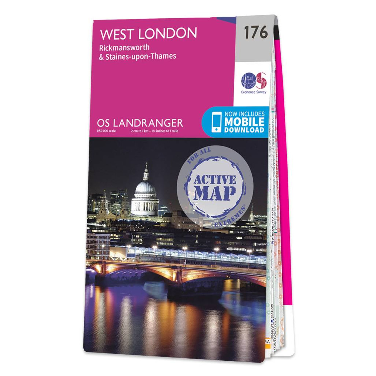
West London (inc. Rickmansworth & Staines) map - OS Landranger 176 Standard Publication Date: 24/02/2016 Weatherproof Publication Date: 24/02/2016
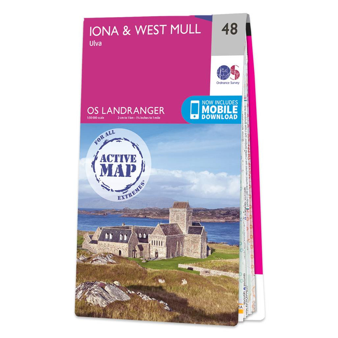
Iona & West Mull (inc. Ulva) map - OS Landranger 48 Format: Folded map Physical Size: 1000 x 890 mm (134 x 227 mm folded) Standard Publication Date: 24/02/2016 Weatherproof Publication Date: 24/02/2016
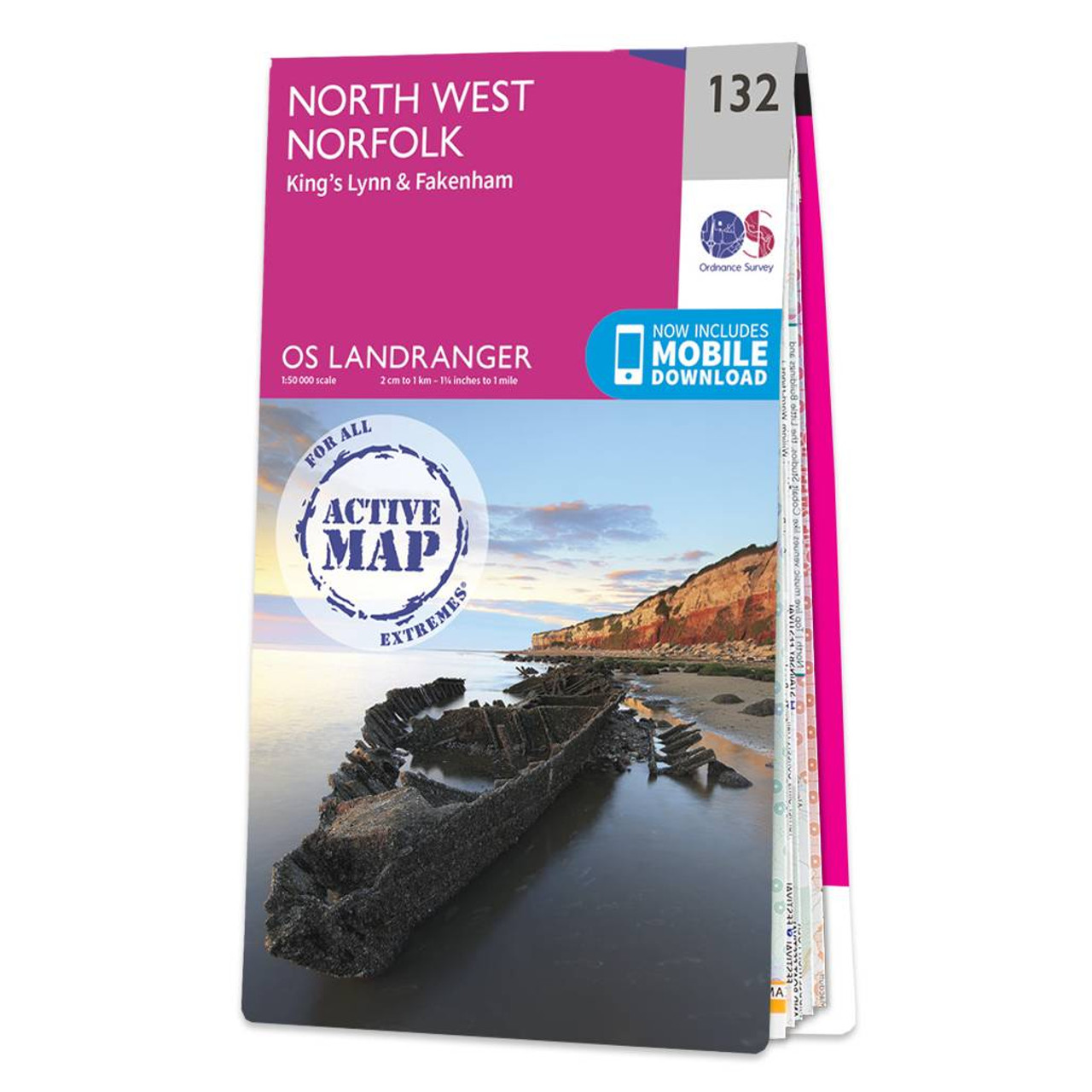
The Landranger map of North West Norfolk, including King's Lynn & Fakenham. Landranger maps are perfect for extensive hikes, cycling, and driving holidays. Ideal for planning days out or holidays to the North West Norfolk, as well as King's Lynn, Wells-Next-The-Sea,...
|
|