|
|
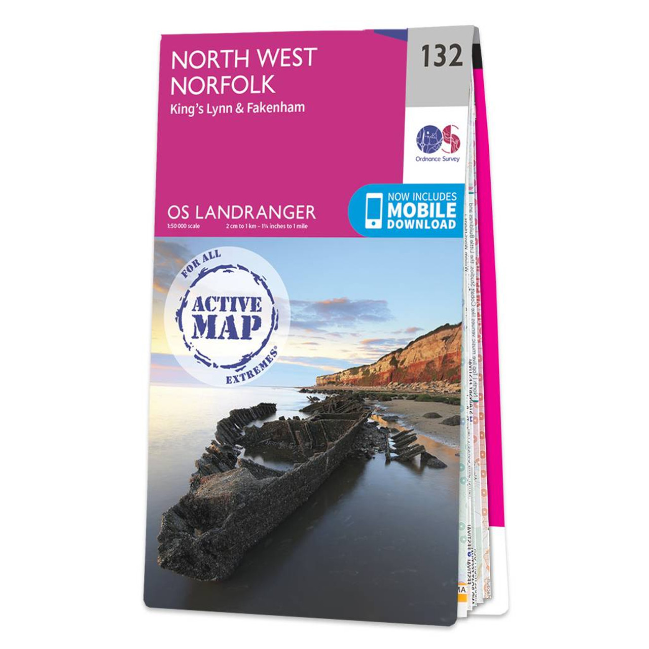
The Landranger map of North West Norfolk, including King's Lynn & Fakenham. Landranger maps are perfect for extensive hikes, cycling, and driving holidays. Ideal for planning days out or holidays to the North West Norfolk, as well as King's Lynn, Wells-Next-The-Sea, Fakenham, Hunstatnton, Dereham, and Holmes next the sea.An abundance of beautiful scenery and things to do. Take a vtrip to Wells-next-the-Sea — a small port town on the north of Norfolk coast, or stop by in King's Lynn — a seaport Market Town, or why not explore Blakeney Point, a National Nature Reserve where you can often see grey seals.Other highlights of this map include the Peddars Way & Norfolk Coastal Path, Holkham Bay, Brancaster Bay, and The Wash. Our Landranger maps come in standard or Weatherproof Active, you'll also receive a free download for your devices — making for a convenient companion. Standard Publication Date: 08/09/2021 Weatherproof Publication Date: 04/04/2022
Price: £16.99 from Ordnance Survey
| Retailer | Price | |
|---|---|---|
| Ordnance Survey | £16.99 | Go to shop |

The Landranger map of North East Norfolk, including Cromer & Wroxham. Landranger maps are perfect for extensive hikes, cycling, and driving holidays. Ideal for planning days out or holidays to the North east of Norfolk, this map covers Cromer, Holt, North...
The Landranger map of West Cumbria, including Cockermouth & Wast Water. Landranger maps are perfect for extensive hikes, cycling, and driving holidays. Ideal for planning days out or holidays to West Cumbria, famous for its attractive scenery and the...
West London (inc. Rickmansworth & Staines) map - OS Landranger 176 Standard Publication Date: 24/02/2016 Weatherproof Publication Date: 24/02/2016
|
|