|
|

The OS Explorer map of the English Lakes, North-Eastern Area, including Penrith, Patterdale, & Caldbeck.This a must-have when visiting the North-Eastern area of the Lakes, whether you're looking to explore the Castle at Penrith or the beautifully green villages of Patterdale & Caldbeck, OL5 has got you covered.The perfect companion for your adventure to Helvellyn, the highest point of the Helvellyn range that makes for an exhilarating walk, roughly 2 miles.Maybe you're hoping to soak up the views at Ullswater — the second larges lake in the Lake District.Our OS Explorer maps are perfect for day-tripping, extensive hikes, and cycling. They come in both standard and Weatherproof Active, so you'll never get caught out in a storm. This map also comes with a free digital download, so you can access it across your devices — making for a more convenient companion. Standard Publication Date: 20/04/2021 Weatherproof Publication Date: 23/04/2021
Price: £16.99 from Ordnance Survey
| Retailer | Price | |
|---|---|---|
| Ordnance Survey | £16.99 | Go to shop |

The OS Explorer map of The English Lakes, South-Eastern Area, including Windermere, Kendal, & Silverdale.Displaying the South-Eastern part of the Lake District National Park, OL7 is a must-have when visiting the area.Soak up stunning views at Lake Windermere...
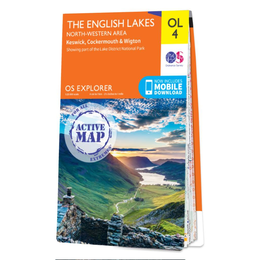
The OS Explorer map of The English Lakes, North Western area, including Keswick, Cockermouth, & Wigton.Explorer OL4 is a must-have when visiting the North-West area of the Lakes. Take in the stunning sights on the Catbells walk, soak up the views at Derwent...

The OS Explorer map of The English Lakes, South-Western Area is a must-have when visiting this area of the Lakes District.Explore the market town of Ulverston — a stunning labyrinth of gorgeous old buildings and cobbled streets. Take on the highest...
|
|