|
|
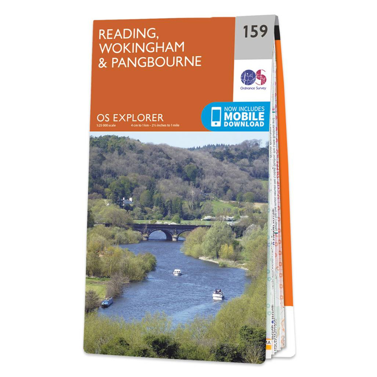
Map of Reading - OS Explorer Map 159 (Wokingham & Pangbourne) Format: Folded map Physical Size: 1270 x 952 mm (133 x 240 mm folded) Standard Publication Date: 03/03/2025 Weatherproof Publication Date: 24/03/2025
Price: £12.99 from Ordnance Survey
| Retailer | Price | |
|---|---|---|
| Ordnance Survey | £12.99 | Go to shop |

Map of Helmsdale & Strath of Kildonan - OS Explorer Map 444 Format: Folded map Physical Size: 1000 x 890 mm (134 x 227 mm folded) Standard Publication Date: 16/09/2015 Weatherproof Publication Date: 16/09/2015

Map of Coll & Tiree - OS Explorer Map 372 Format: Folded map Physical Size: 1000 x 890 mm (134 x 227 mm folded) Standard Publication Date: 16/09/2015 Weatherproof Publication Date: 16/09/2015

Reading & Windsor (inc. Henley-on-Thames & Bracknell) map - OS Landranger 175 Standard Publication Date: 22/09/2023 Weatherproof Publication Date: 05/12/2023
|
|