|
|

Map of Newport Pagnell & Northampton South - OS Explorer Map 207 (Towcester & Olney) Format: Folded map Physical Size: 890 x 1000 mm (134 x 227 mm folded) Standard Publication Date: 16/09/2015 Weatherproof Publication: 16/09/2015
Price: £12.99 from Ordnance Survey
| Retailer | Price | |
|---|---|---|
| Ordnance Survey | £12.99 | Go to shop |
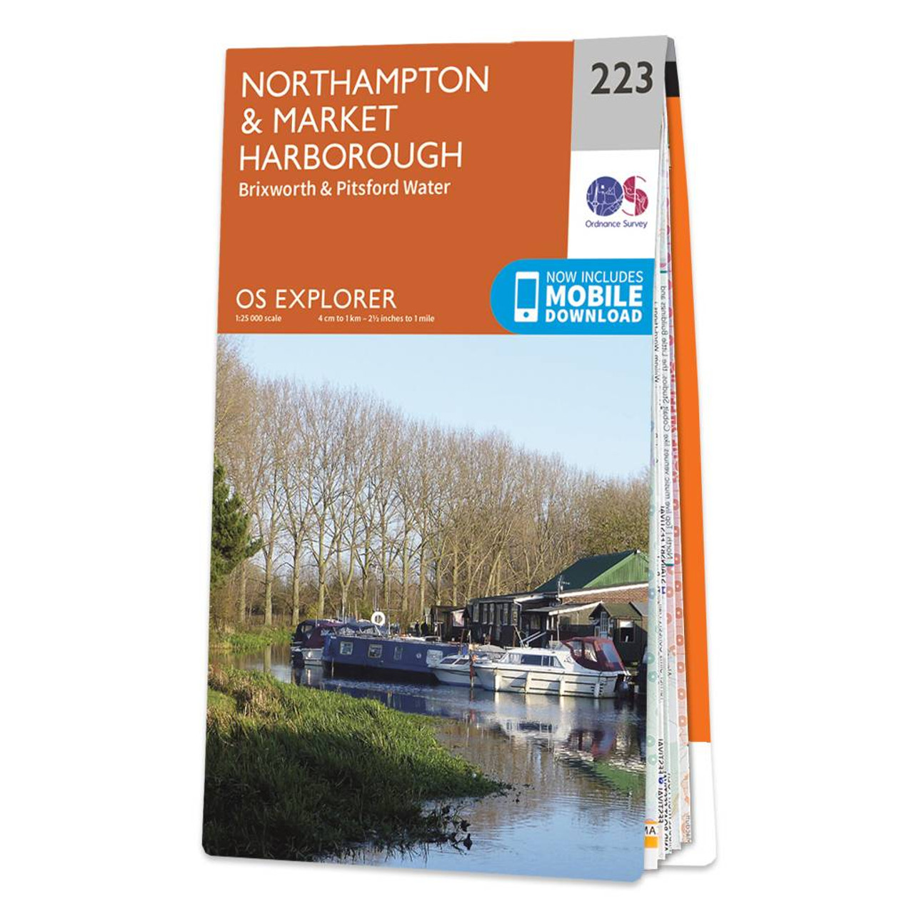
Map of Northampton & Market Harborough - OS Explorer Map 223 (Brixworth & Pitsford Water) Format: Folded map Physical Size: 1000 x 890 mm (134 x 227 mm folded) Standard Publication Date: 16/09/2015 Weatherproof Publication Date: 16/09/2015
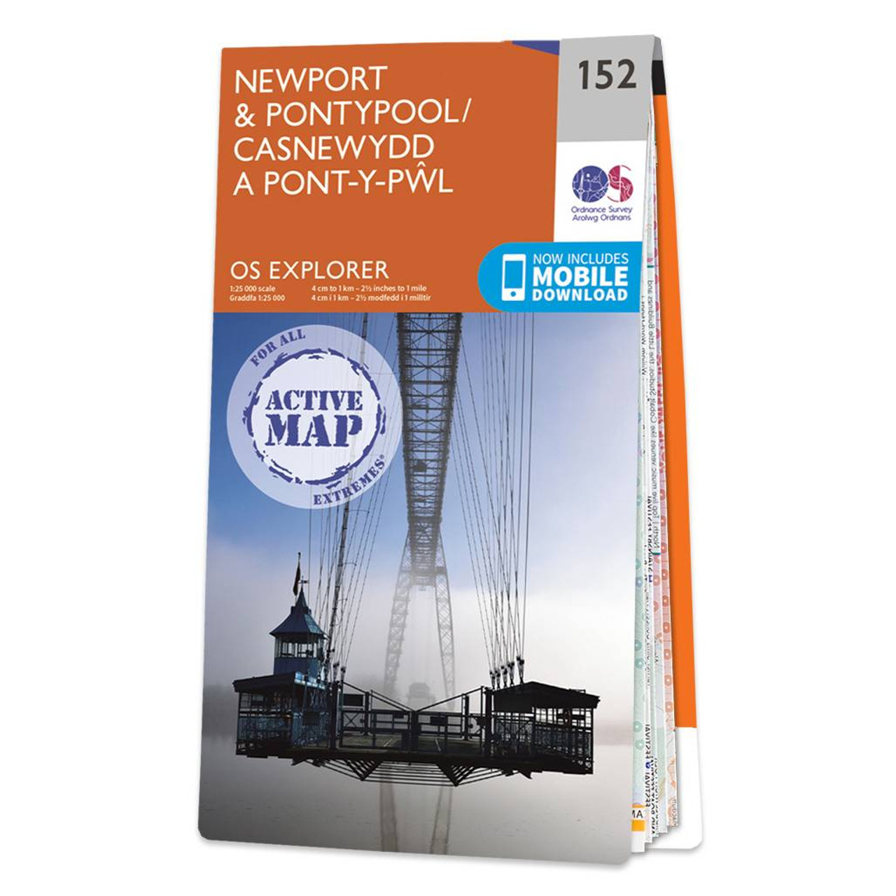
Map of Newport & Pontypool - OS Explorer Map 152 Standard Publication Date: 16/09/2015 Weatherproof Publication Date: 16/09/2015
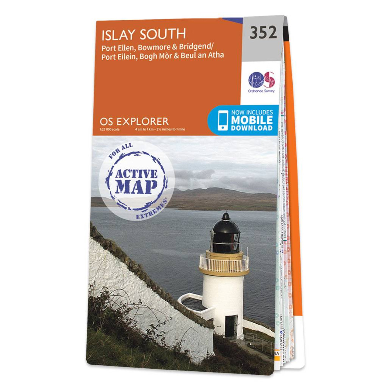
Map of Islay South - OS Explorer Map 352 (Port Ellen, Bowmore & Bridgend) Format: Folded map Physical Size: 952 x 1270 mm (133 x 240 mm folded) Standard Publication Date: 16/09/2015 Weatherproof Publication Date: 16/09/2015
|
|