|
|
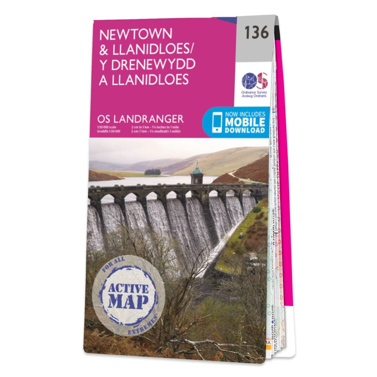
Newtown & Llanidloes map - OS Landranger 136 Format: Folded map Physical Size: 1125 x 890 mm (134 x 227 mm folded) Standard Publication Date: 24/02/2020 Weatherproof Publication Date: 24/02/2020
Price: £16.99 from Ordnance Survey
| Retailer | Price | |
|---|---|---|
| Ordnance Survey | £16.99 | Go to shop |
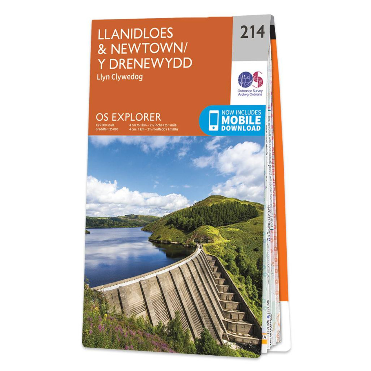
Map of Llanidloes & Newtown - OS Explorer Map 214 (Llyn Clywedog) Format: Folded map Physical Size: 890 x 1000 mm (134 x 227 mm folded) Standard Publication Date: 16/09/2015 Weatherproof Publication Date: 10/02/2023

Coll & Tiree map - OS Landranger 46 Format: Folded map Physical Size: 1000 x 890 mm (134 x 227 mm folded) Standard Publication Date: 24/02/2016 Weatherproof Publication Date: 24/02/2016

Isle of Arran map - OS Landranger 69 Format: Folded map Physical Size: 1000 x 890 mm (134 x 227 mm folded) Standard Publication Date: 24/02/2016 Weatherproof Publication Date: 24/02/2016
|
|