|
|
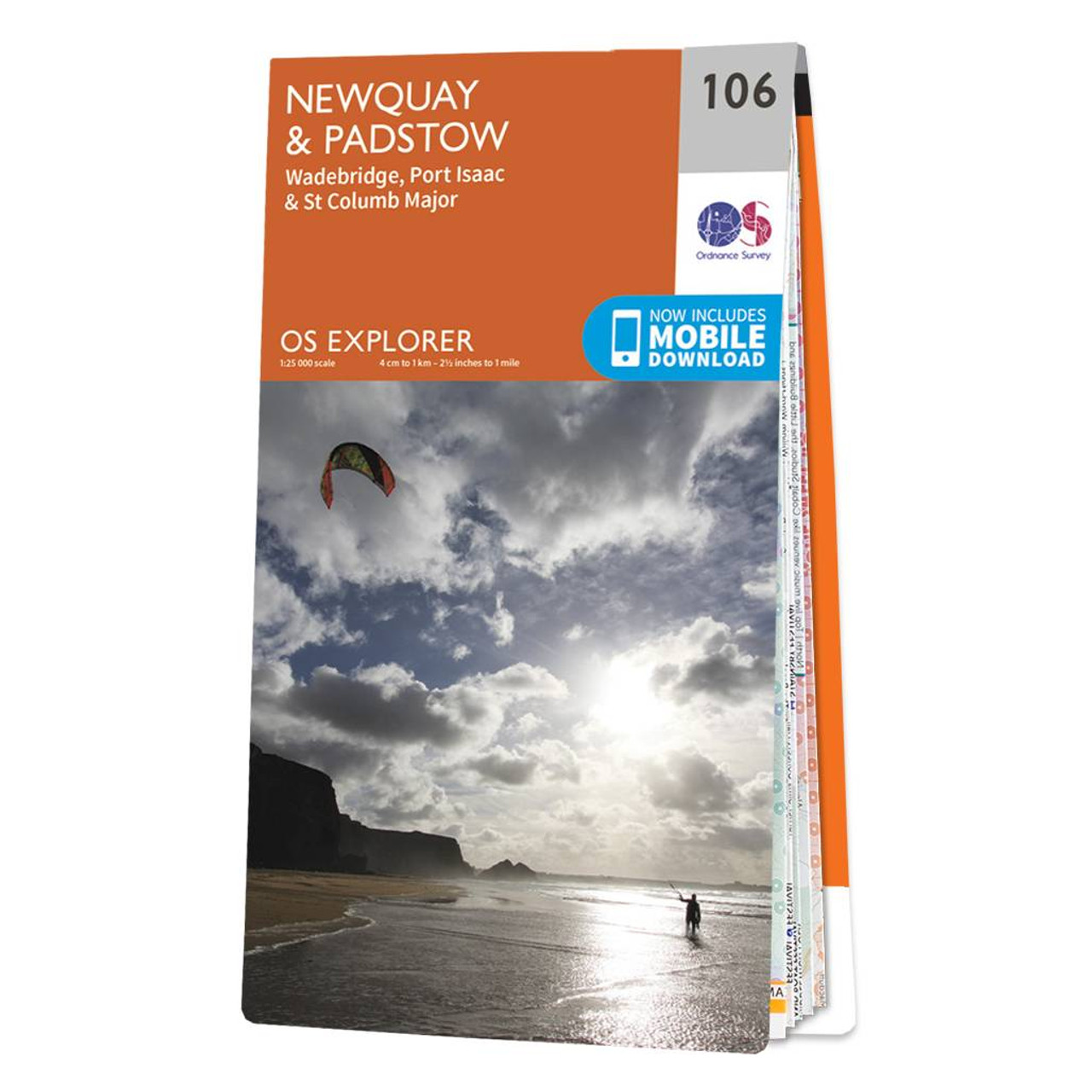
The OS Explorer map of Newquay & Padstow is a must-have companion for your next trip to the area.Explore Newquay, Padstow, and Port Issac, down to St Austel. The coastal area is popular amongst holidaymakers, perfect for hiking, surfing, and other water sports. Quaint villages and beautiful walks in between the landmarks facing out to the Celtic sea.Some highlights of this map include The Camel Trail, Newquay Harbour, Padstow, and Constantine Bay. Our Explorer maps come in both standard and weather proof, so you'll never get caught out in a storm. This map also comes with a free digital download, so you can access it across your devices, making for a convenient companion. Standard Publication Date: 23/03/2020 Weatherproof Publication Date:11/06/2020
Price: £12.99 from Ordnance Survey
| Retailer | Price | |
|---|---|---|
| Ordnance Survey | £12.99 | Go to shop |
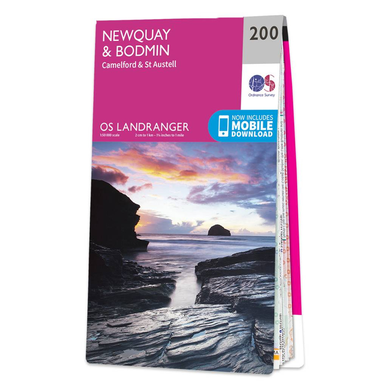
Don't lose it planing your next trip to North Cornwall. Landranger maps are perfect for extensive hikes, cycling, and driving holidays. The Newquay & Bodmin map features Camelford, St Austell, Holywell Bay, the Eden Project, and of course Newquay & Bodmin.Newquay...

Map of Helmsdale & Strath of Kildonan - OS Explorer Map 444 Format: Folded map Physical Size: 1000 x 890 mm (134 x 227 mm folded) Standard Publication Date: 16/09/2015 Weatherproof Publication Date: 16/09/2015

Map of Coll & Tiree - OS Explorer Map 372 Format: Folded map Physical Size: 1000 x 890 mm (134 x 227 mm folded) Standard Publication Date: 16/09/2015 Weatherproof Publication Date: 16/09/2015
|
|