|
|
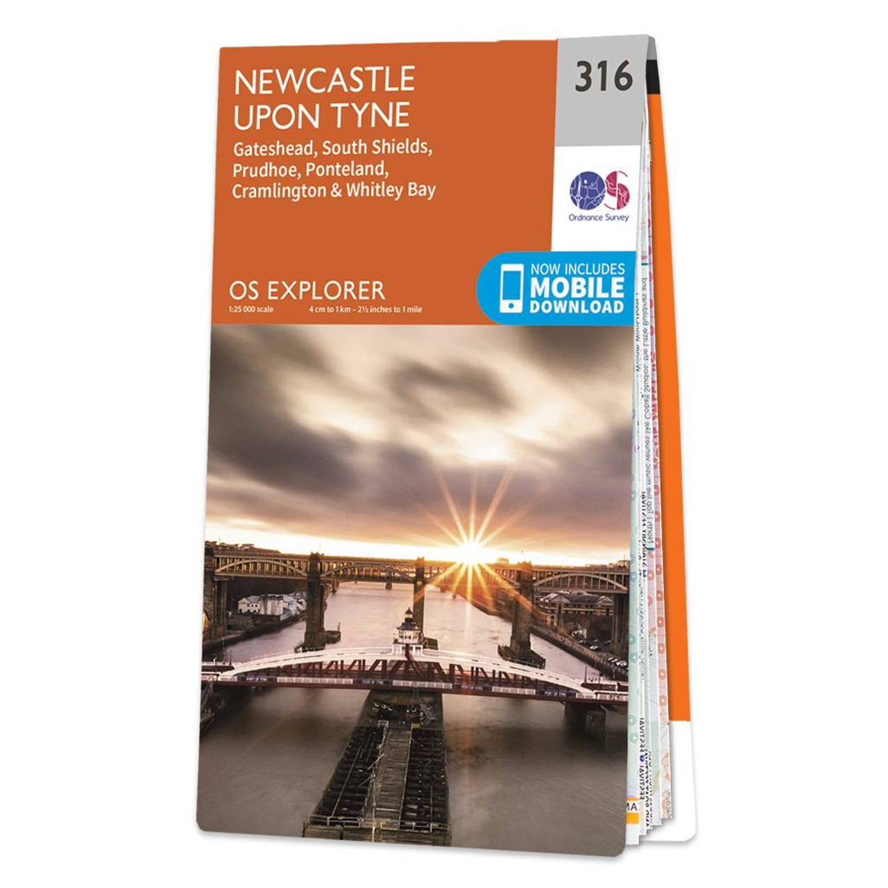
This is the OS Explorer Map of Newcastle upon Tyne - Sheet 316. It covers Gateshead, South Shields, Prudhoe, Ponteland, Cramlington and Whitley Bay. You'll also find the Great North Forest, part of Hadrians Wall, Horsley Hill, Killingworth, the Vindobala Roman Fort and Whitley Bay. Standard Publication Date: 27/11/2024 Weatherproof Publication Date: 20/01/2025
Price: £12.99 from Ordnance Survey
| Retailer | Price | |
|---|---|---|
| Ordnance Survey | £12.99 | Go to shop |
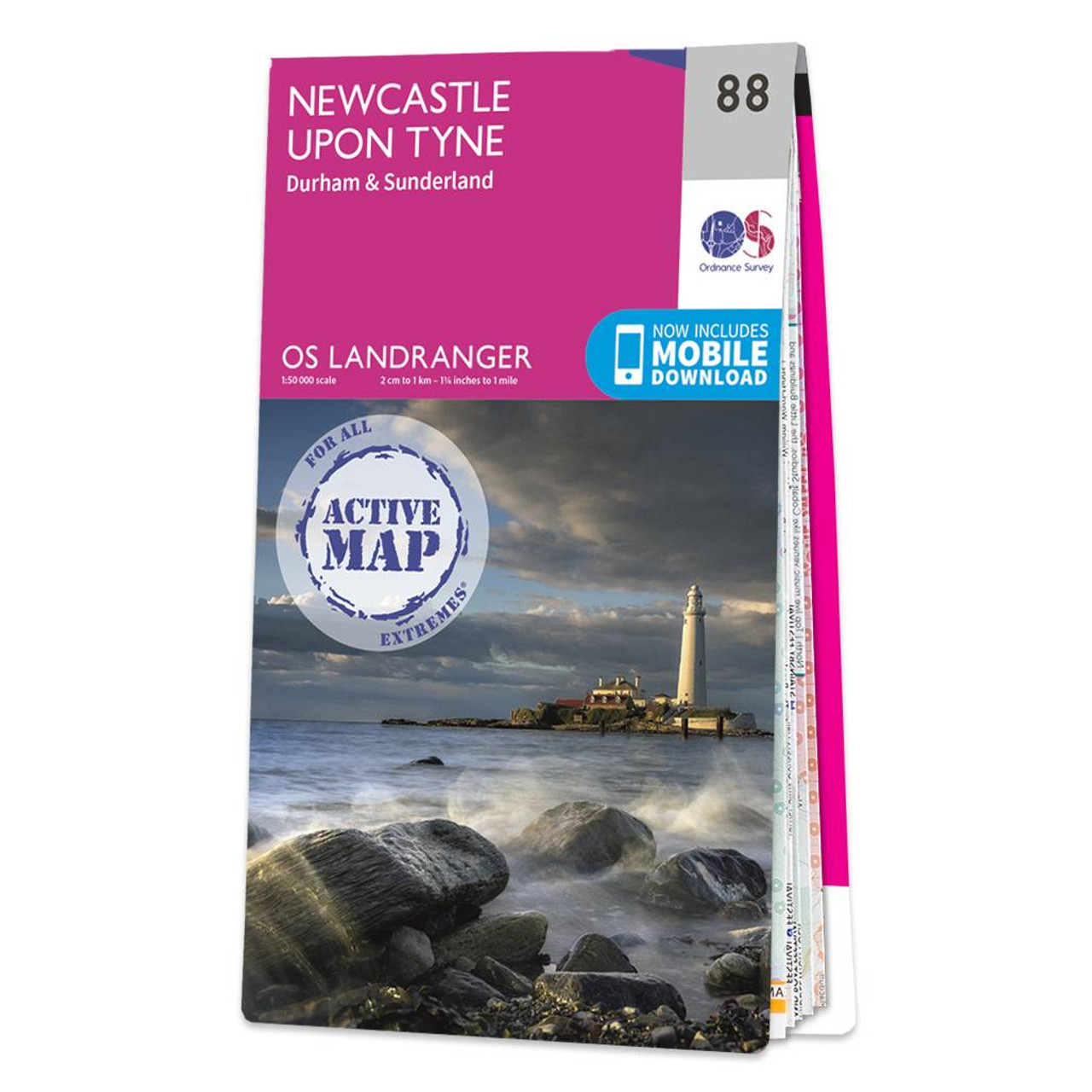
Newcastle upon Tyne (inc. Durham & Sunderland) map - OS Landranger 88 Standard Publication Date: 30/01/2020 Weatherproof Publication Date: 30/01/2020
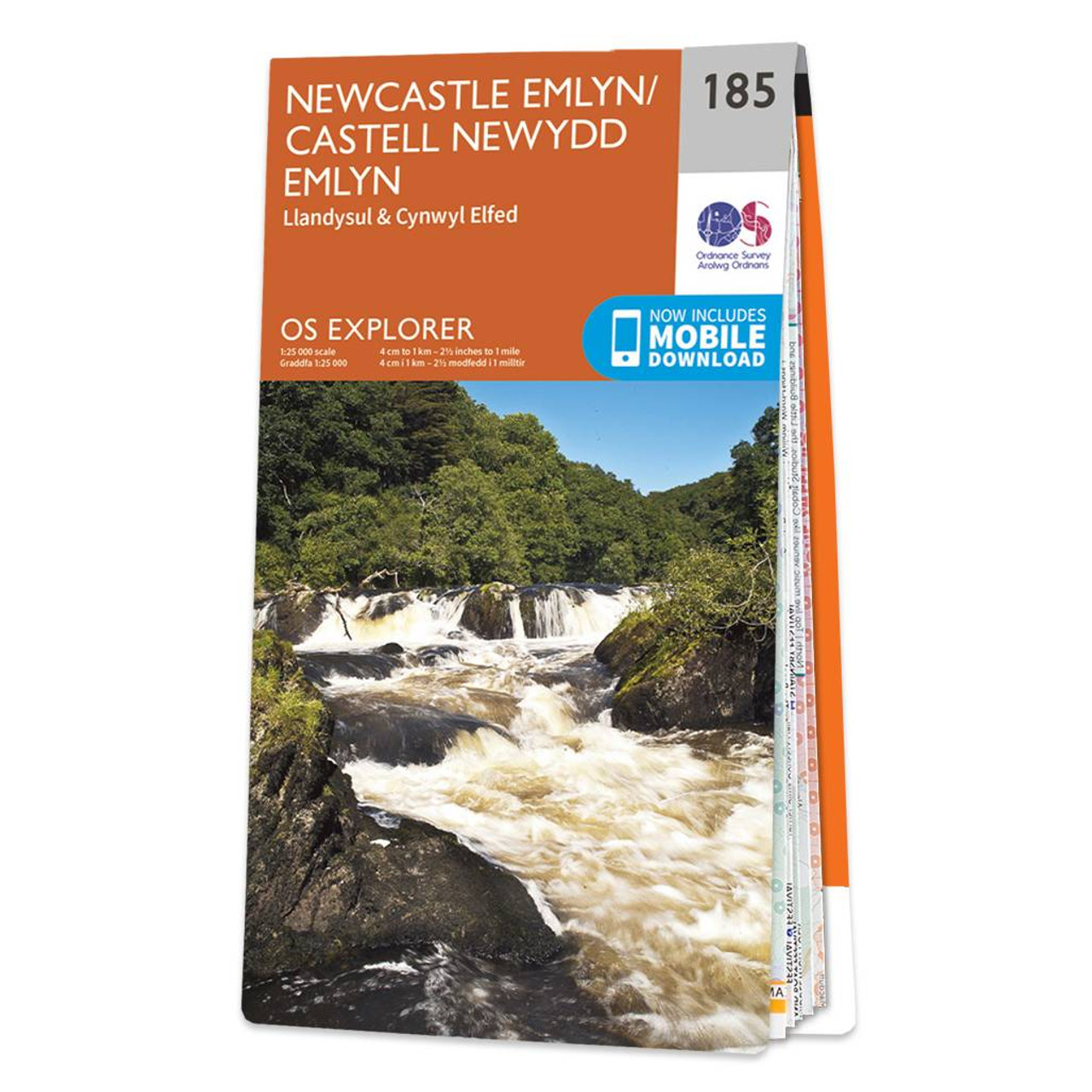
Map of Newcastle Emlyn - OS Explorer Map 185 (Llandysul & Cynwyl Elfed) Format: Folded map Physical Size: 1270 x 952 mm (133 x 240 mm folded) Standard Publication Date: 16/09/2015 Weatherproof Publication Date: 16/09/2015
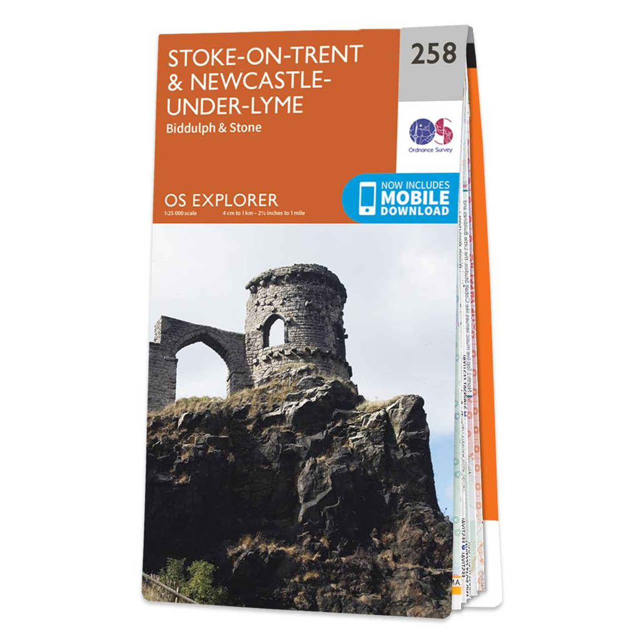
Map of Stoke-on-Trent & Newcastle-under-Lyme - OS Explorer Map 258 (Biddulph & Stone) Format: Folded map Physical Size: 952 x 1270 mm (133 x 240 mm folded) Standard Publication Date: 11/07/2018 Weatherproof Publication Date: 22/08/2018
|
|