|
|
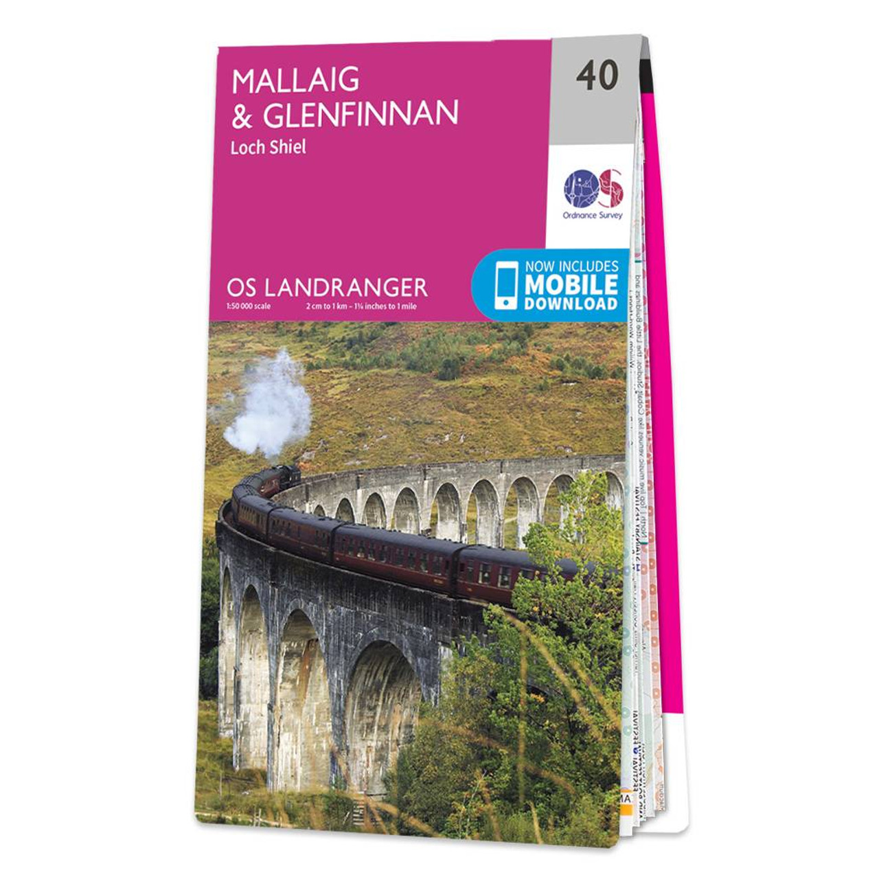
Mallaig & Glenfinnan (inc. Loch Shiel) map - OS Landranger 40 Format: Folded map Physical Size: 1000 x 890 mm (134 x 227 mm folded) Standard Publication Date: 24/02/2016 Weatherproof Publication Date: 24/02/2016
Price: £12.99 from Ordnance Survey
| Retailer | Price | |
|---|---|---|
| Ordnance Survey | £12.99 | Go to shop |
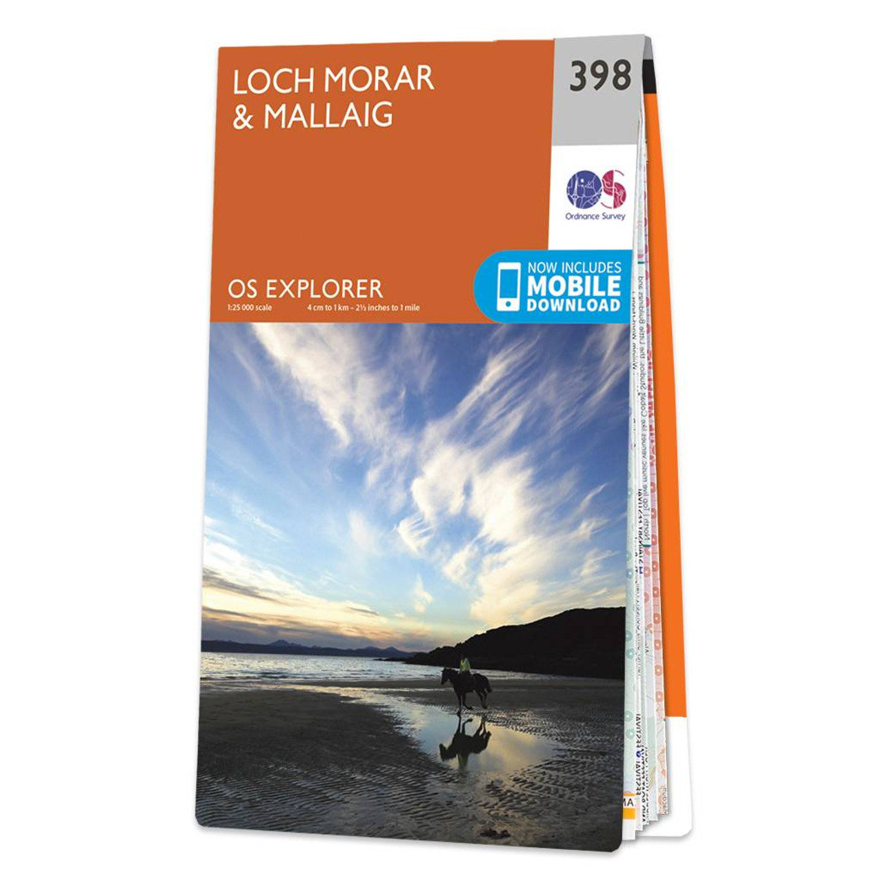
OS Explorer Map 398: Loch Morar and Mallaig. Discover this remote are of the Scottish West coast with our most detailed mapping for walking and climbing. Free UK delivery. Format: Folded map Physical Size: 890 x 1000 mm (134 x 227 mm folded) Standard...

Coll & Tiree map - OS Landranger 46 Format: Folded map Physical Size: 1000 x 890 mm (134 x 227 mm folded) Standard Publication Date: 24/02/2016 Weatherproof Publication Date: 24/02/2016

Isle of Arran map - OS Landranger 69 Format: Folded map Physical Size: 1000 x 890 mm (134 x 227 mm folded) Standard Publication Date: 24/02/2016 Weatherproof Publication Date: 24/02/2016
|
|