|
|
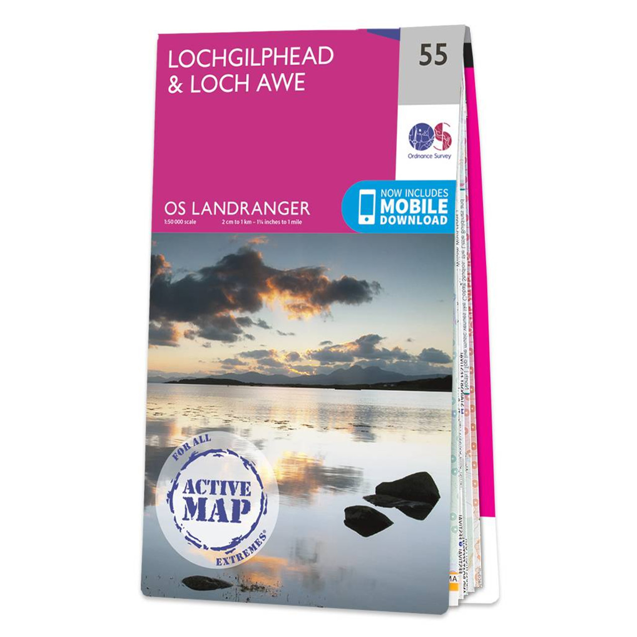
Lochgilphead & Loch Awe map - OS Landranger 55 Format: Folded map Physical Size: 1000 x 890 mm (134 x 227 mm folded) Standard Publication Date: 24/02/2016 Weatherproof Publication Date: 24/02/2016
Price: £16.99 from Ordnance Survey
| Retailer | Price | |
|---|---|---|
| Ordnance Survey | £16.99 | Go to shop |
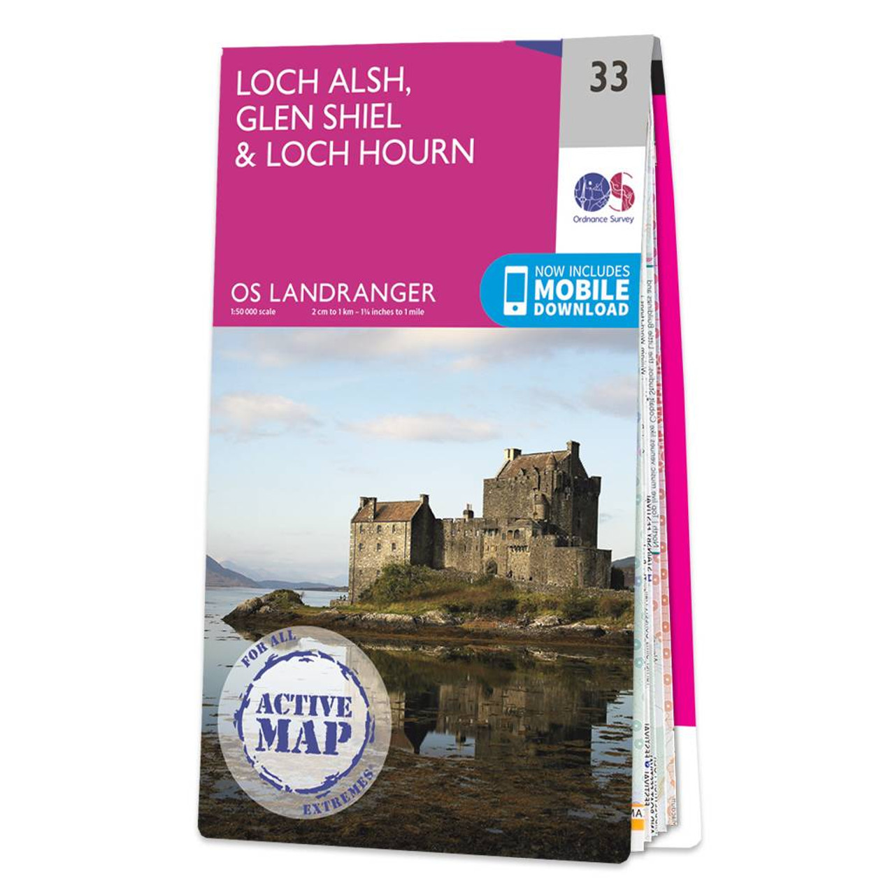
Loch Alsh, Glen Shiel & Loch Hourn map - OS Landranger 33 Format: Folded map Physical Size: 1000 x 890 mm (134 x 227 mm folded) Standard Publication Date: 24/02/2016 Weatherproof Publication Date: 24/02/2016
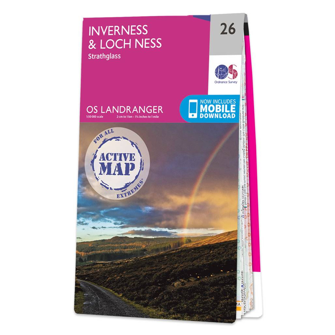
Inverness & Loch Ness (inc. Strathglass) map - OS Landranger 26 Format: Folded map Physical Size: 1000 x 890 mm (134 x 227 mm folded) Standard Publication Date: 08/09/2021 Weatherproof Publication Date: 03/03/2022
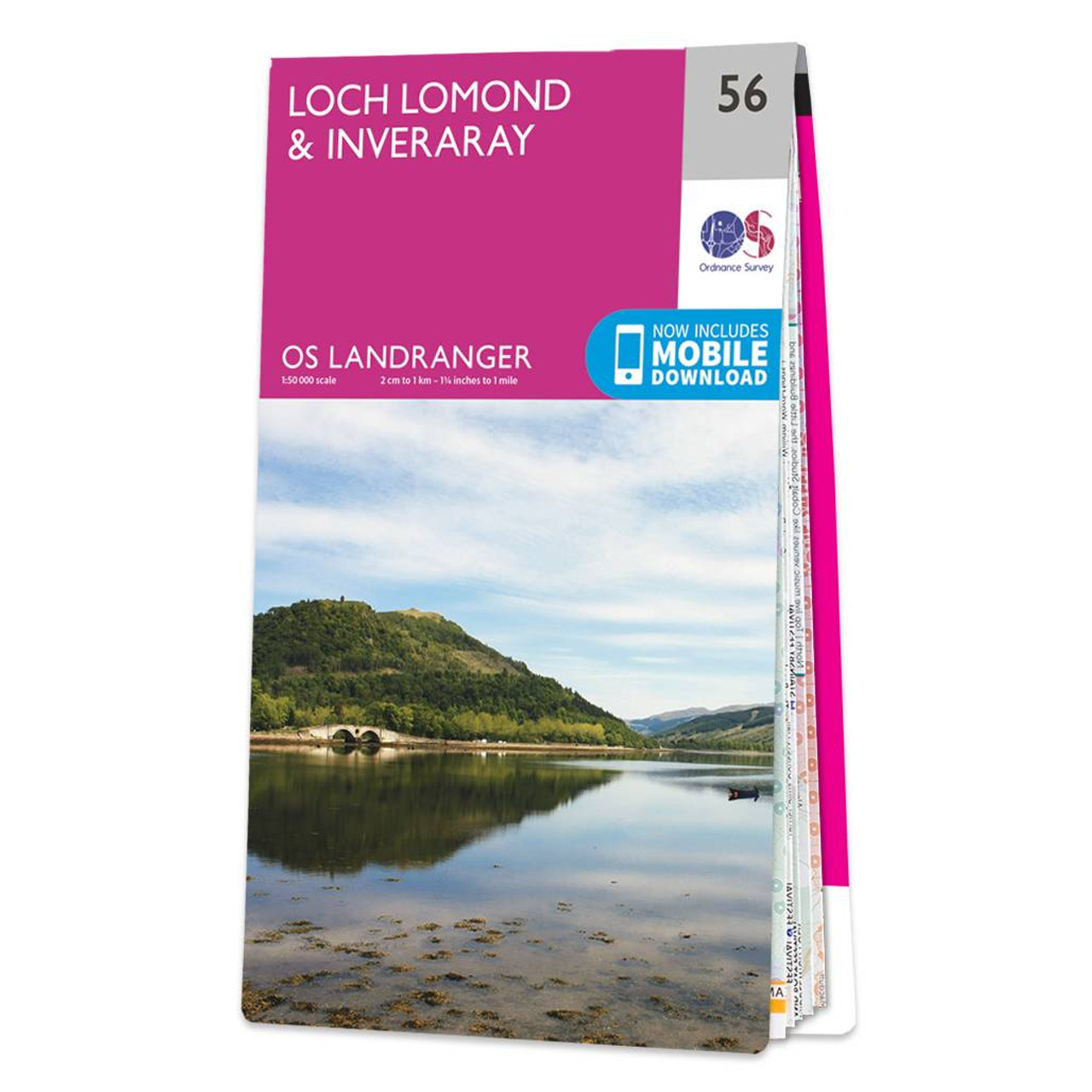
The Landranger map of Loch Lomond & Inverary is the perfect companion when planning a trip to the area. Landranger maps are perfect for extensive hikes, cycling, and driving holidays. Ideal for planning days out or holidays to the area nicknamed the 'gateway...
|
|