|
|
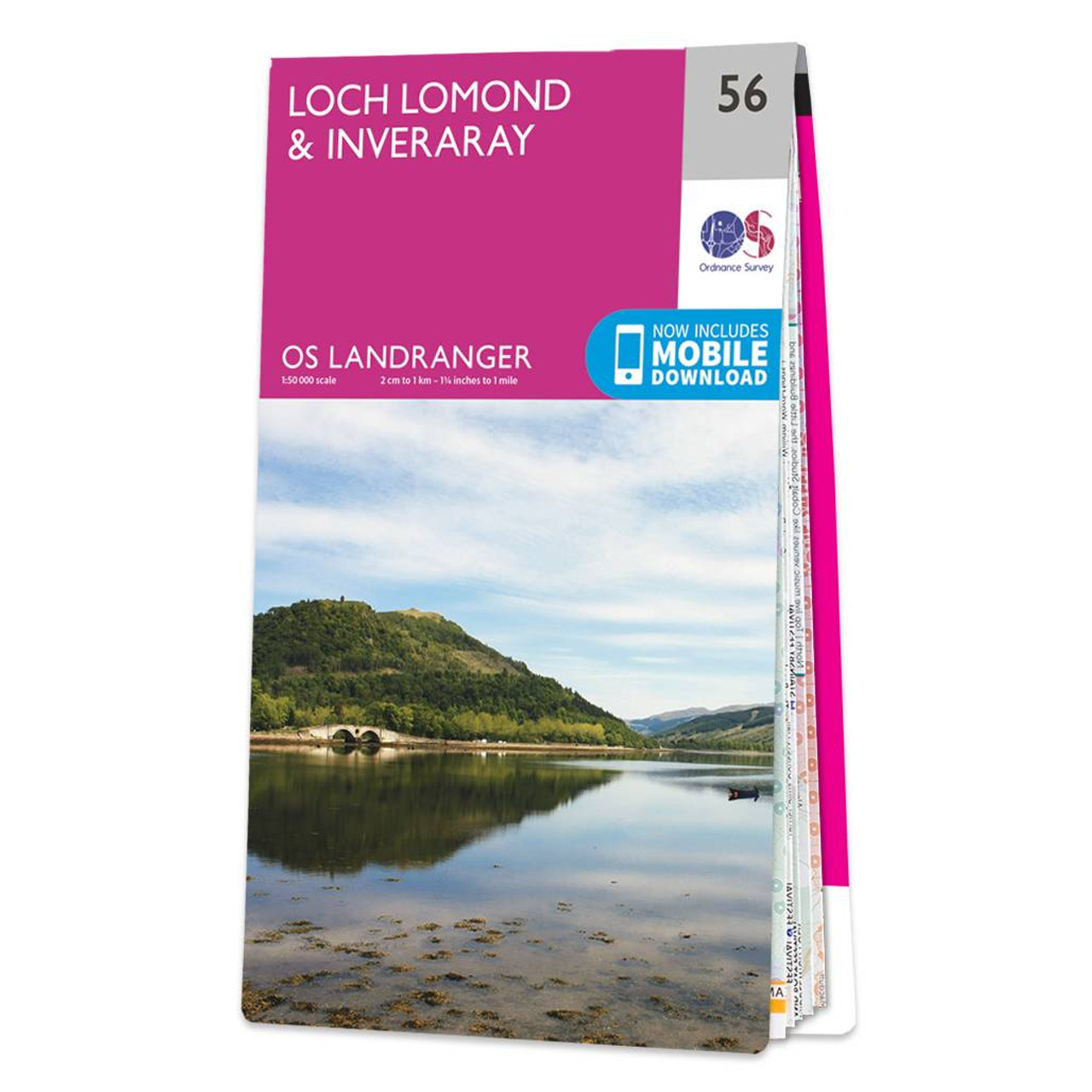
The Landranger map of Loch Lomond & Inverary is the perfect companion when planning a trip to the area. Landranger maps are perfect for extensive hikes, cycling, and driving holidays. Ideal for planning days out or holidays to the area nicknamed the 'gateway to the Highlands'. Inverary has a wide range of attractions on offer from Inverary Castle and Gardens, to walking in the nearby Glen Shira and Aray.Other highlights of this map include the West Highland Way, which passes along the banks of Loch Lomond in the Trossachs National Park. (The Loch itself is the largest body of fresh water in mainland Britain.)Our Landranger maps come in standard or Weatherproof Active, you'll also receive a free download for your devices — making for a convenient companion. Standard Publication Date: 03/08/2021 Weatherproof Publication Date: 03/08/2021
Price: £12.99 from Ordnance Survey
| Retailer | Price | |
|---|---|---|
| Ordnance Survey | £12.99 | Go to shop |
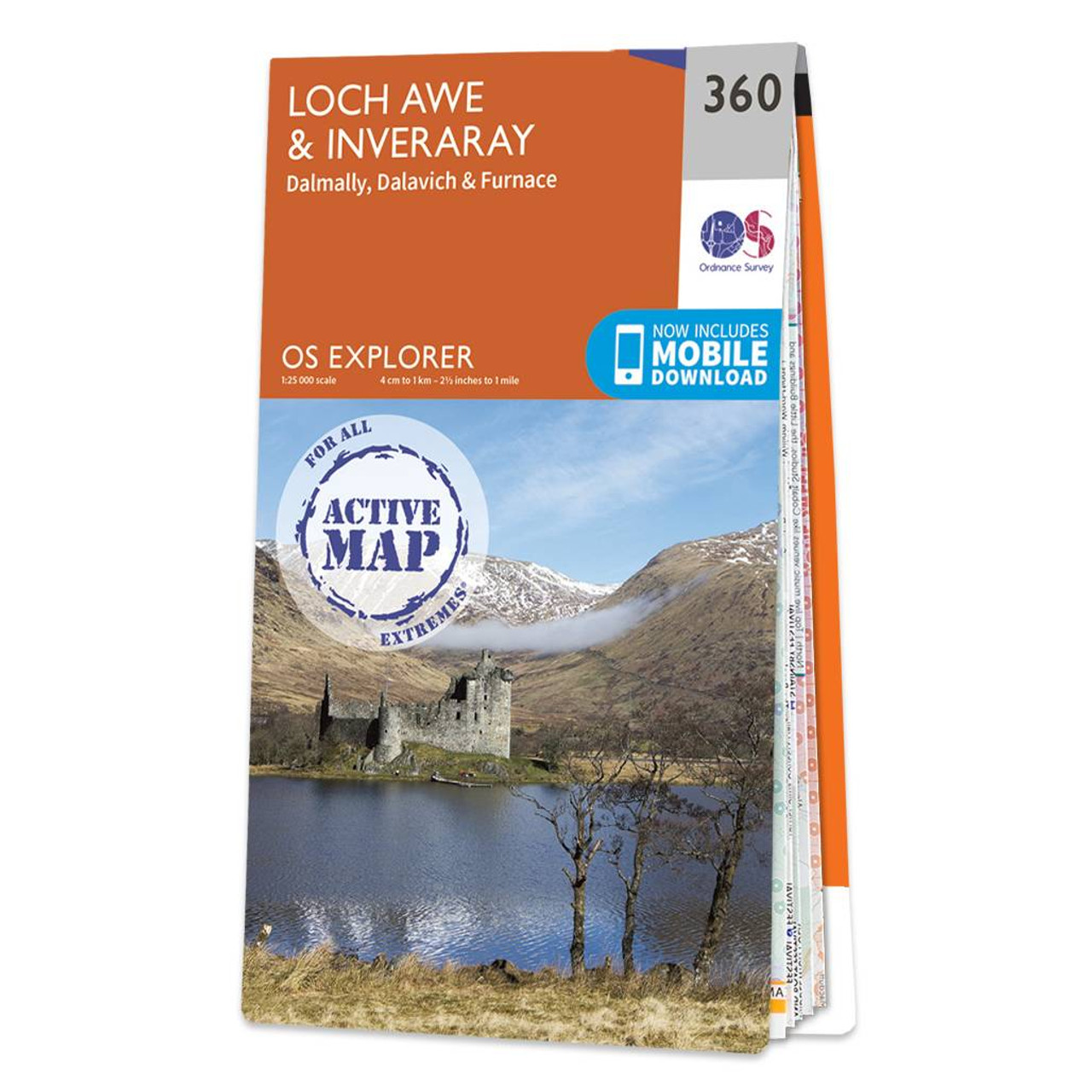
Map of Loch Awe & Inveraray - OS Explorer Map 360 (Dalmally, Dalavich & Furnace) Standard Publication Date: 16/09/2015 Weatherproof Publication Date: 16/09/2015
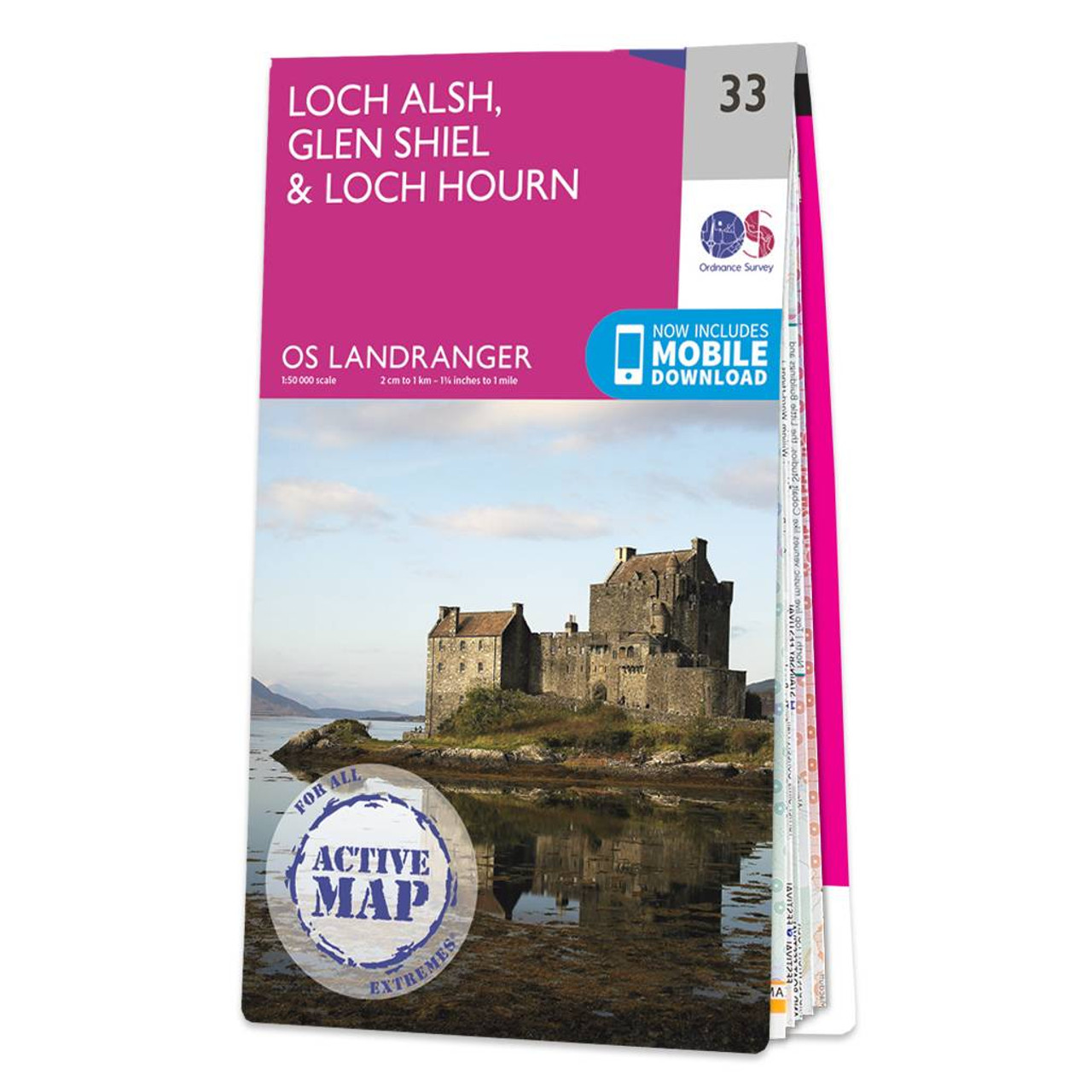
Loch Alsh, Glen Shiel & Loch Hourn map - OS Landranger 33 Format: Folded map Physical Size: 1000 x 890 mm (134 x 227 mm folded) Standard Publication Date: 24/02/2016 Weatherproof Publication Date: 24/02/2016
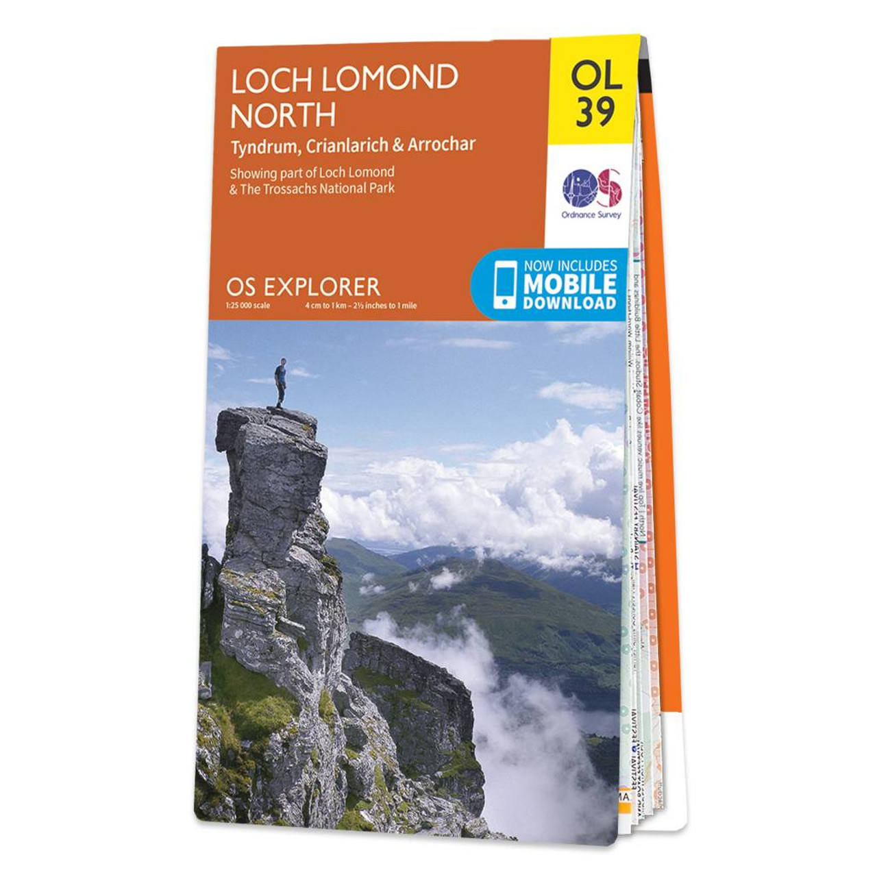
Map of Loch Lomond North - OS Explorer Map OL 39 (Tyndrum, Crianlarich & Arrochar), including Ben Lomond, Ben Lui, Beinn Bhuidhe and Ben Vorlich Standard Publication Date: 14/06/2018 Weatherproof Publication Date: 22/08/2018
|
|