|
|
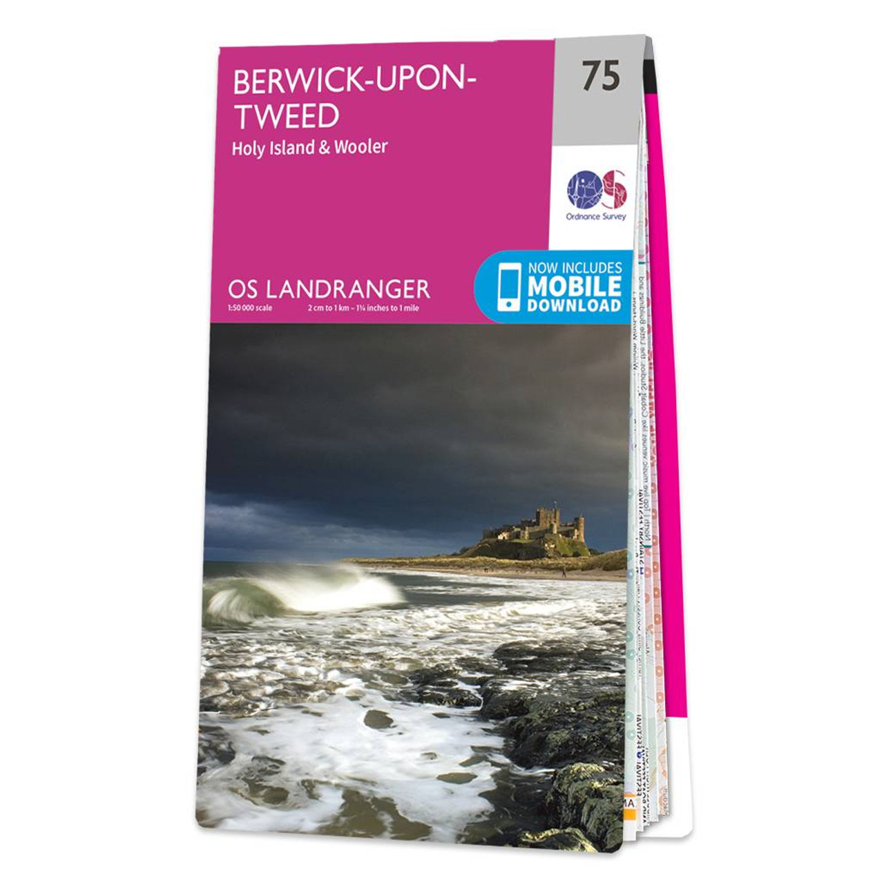
The Landranger map of Berwick-upon-Tweed, including Holy Island and Wooler is a must-have for your next trip to the area.Located close to the Scottish border, Berwick-upon-Tweed is the Northern-most town in England. There is an abundance of attractions and things to do. The vast expanse of surrounding Northumberland Countryside features rolling hills, beaches, historical landmarks, and interesting museums.Holy Island and the Farne Island are situated off the coastline in the North Sea, and the town of Wooler sits inland close to the Northumberland National Park. Our Landranger maps come in standard or Weatherproof Active, you'll also receive a free download for your devices — making for a convenient companion. Standard Publication Date: 24/02/2016 Weatherproof Publication Date: 24/02/2016
Price: £12.99 from Ordnance Survey
| Retailer | Price | |
|---|---|---|
| Ordnance Survey | £12.99 | Go to shop |
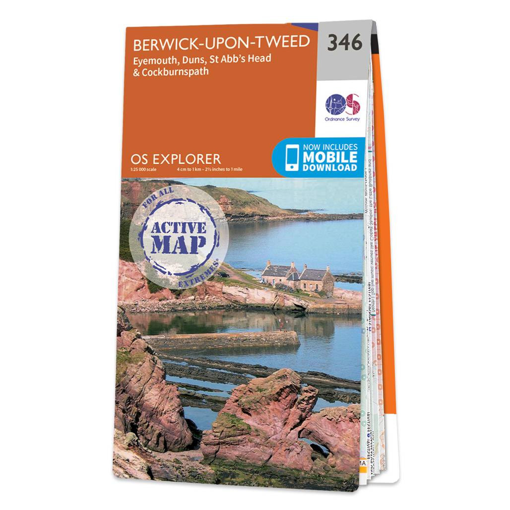
Map of Berwick-upon-Tweed - OS Explorer Map 346 (Eyemouth, Duns, St Abb's Head & Cockburnspath ) Standard Publication Date: 16/09/2015 Weatherproof Publication Date: 16/09/2015

An authentic reproduction Ordnance Survey map of Berwick Upon Tweed from the Revised New Edition, 1896 to 1904. Printed flat, and delivered rolled in a tube. About our range of historical maps Our stunning Ordnance Survey Historical Maps make ideal gifts....
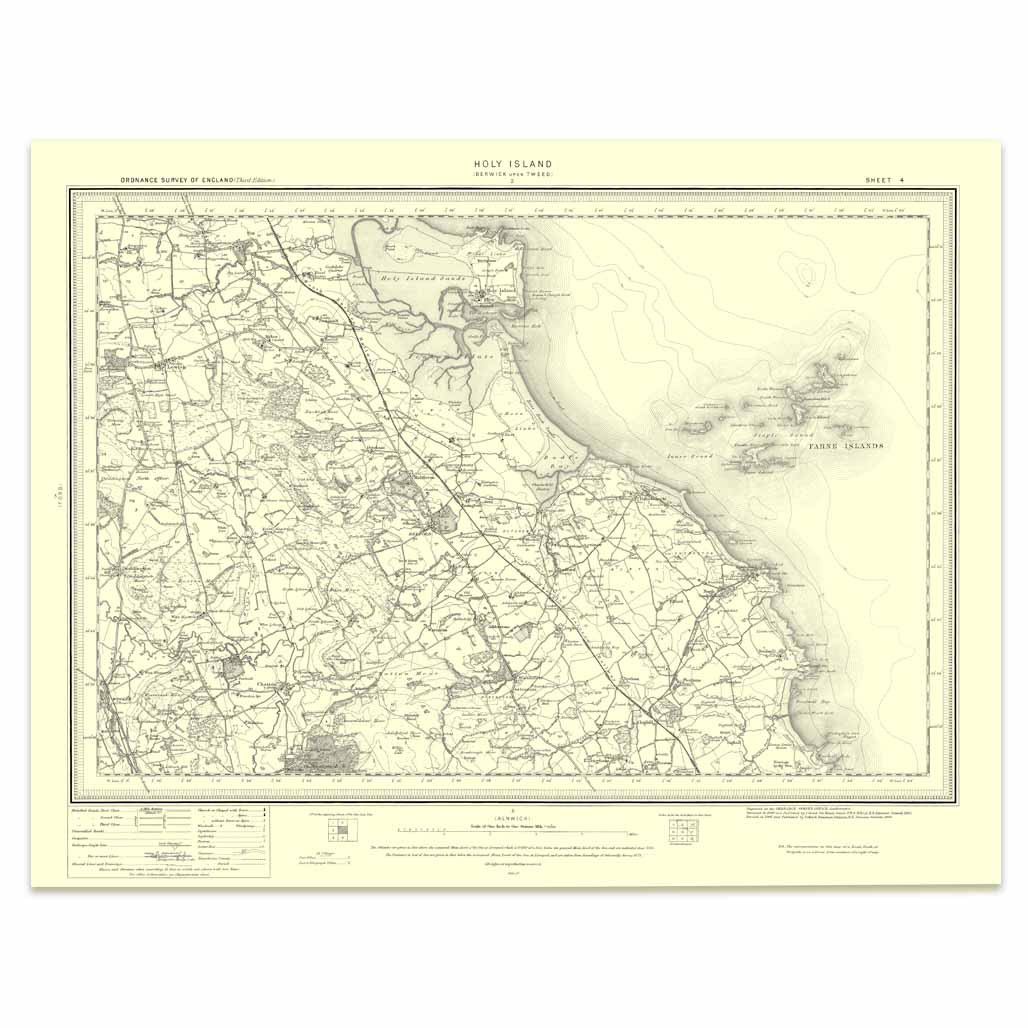
An authentic reproduction Ordnance Survey map of Holy Island from the Revised New Edition, 1896 to 1904. Printed flat, and delivered rolled in a tube. About our range of historical maps Our stunning Ordnance Survey Historical Maps make ideal gifts. Perfect...
|
|