|
|
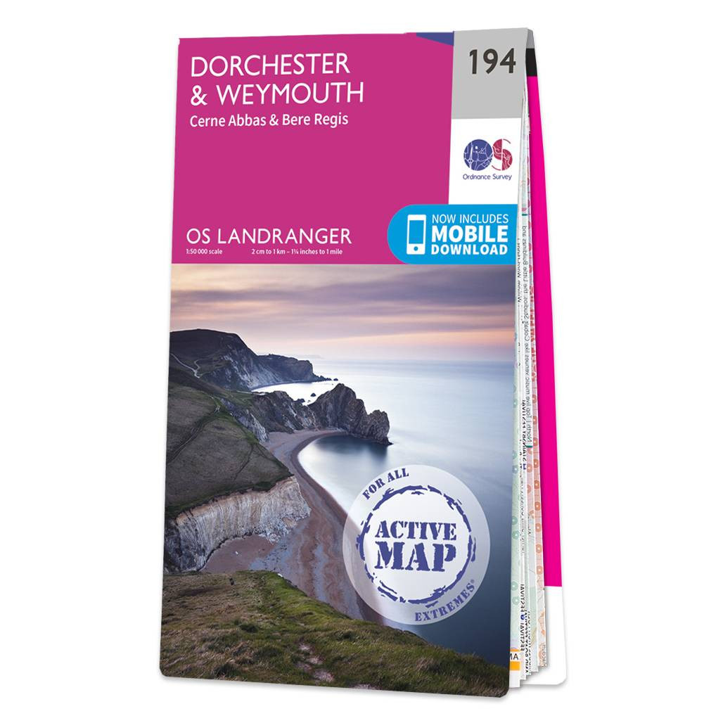
The Landranger map of Dorchester & Weymouth, including Cerne Abbas and Bere Regis, is a must-have for your next trip to the area. Landranger maps are perfect for extensive hikes, cycling, and driving holidays. Ideal for planning days out or holidays to the sandy beaches and rolling hills of coastal Dorset. Take the South West Coast Path for scenic views across the English Channel and the varying geology of the Jurassic Coastline and the limestone and Portland Bill. Dorchester lies further inland to the north and is surrounded with other quaint towns and villages such as Puddletown, Cerne Abbas, and Bere Regis.Our Landranger maps come in standard or Weatherproof Active, you'll also receive a free download for your devices — making for a convenient companion. Standard Publication Date: 19/10/2017 Weatherproof Publication Date: 08/12/2017
Price: £16.99 from Ordnance Survey
| Retailer | Price | |
|---|---|---|
| Ordnance Survey | £16.99 | Go to shop |

Coll & Tiree map - OS Landranger 46 Format: Folded map Physical Size: 1000 x 890 mm (134 x 227 mm folded) Standard Publication Date: 24/02/2016 Weatherproof Publication Date: 24/02/2016

Isle of Arran map - OS Landranger 69 Format: Folded map Physical Size: 1000 x 890 mm (134 x 227 mm folded) Standard Publication Date: 24/02/2016 Weatherproof Publication Date: 24/02/2016

An authentic reproduction Ordnance Survey map of Cambridge from the Revised New Edition, 1896 to 1904. Printed flat, and delivered rolled in a tube. About our range of historical maps Our stunning Ordnance Survey Historical Maps make ideal gifts. Perfect...
|
|