|
|
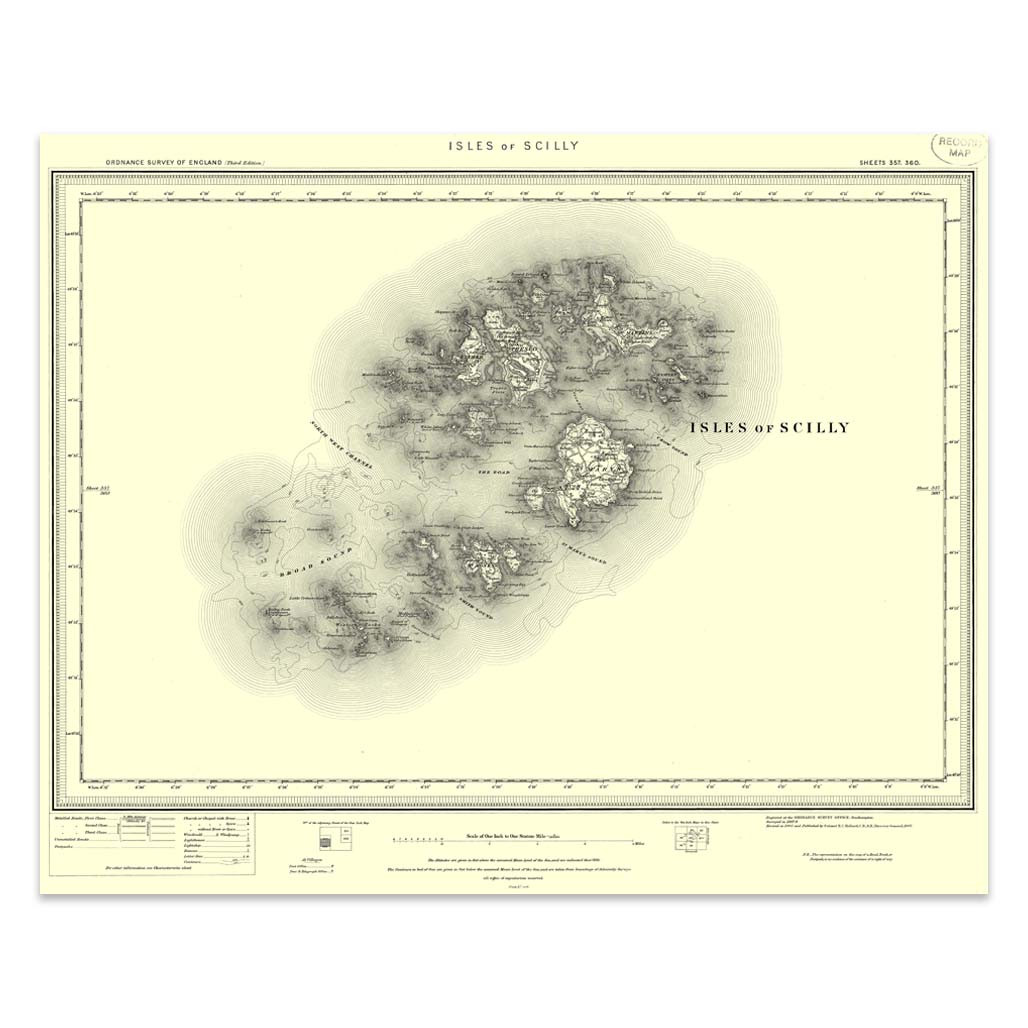
An authentic reproduction Ordnance Survey map of Isles of Scilly from the Revised New Edition, 1896 to 1904. Printed flat, and delivered rolled in a tube. About our range of historical maps Our stunning Ordnance Survey Historical Maps make ideal gifts. Perfect for map lovers, genealogists and history buffs alike. These high quality historical maps showcase the transformation of landscapes, towns, and rural areas from 1896 to 1904. An ideal range if you're uncovering family roots or exploring your local heritage. Each authentic, reproduction map provides a fascinating glimpse into the past. Now printed on a premium 130gsm wallpaper substrate, allowing the map to be hot mounted and framed. Originally scaled at one inch to the mile, these maps have been slightly resized to fit modern printers. Our vintage range make a unique and thoughtful gift or a striking addition to any home or office. This map will be printed on sheets measuring 535 x 405 mm, then will be hand trimmed. Due to the hand finishing nature of this product the final size may vary.
Price: £11.99 from Ordnance Survey
| Retailer | Price | |
|---|---|---|
| Ordnance Survey | £11.99 | Go to shop |
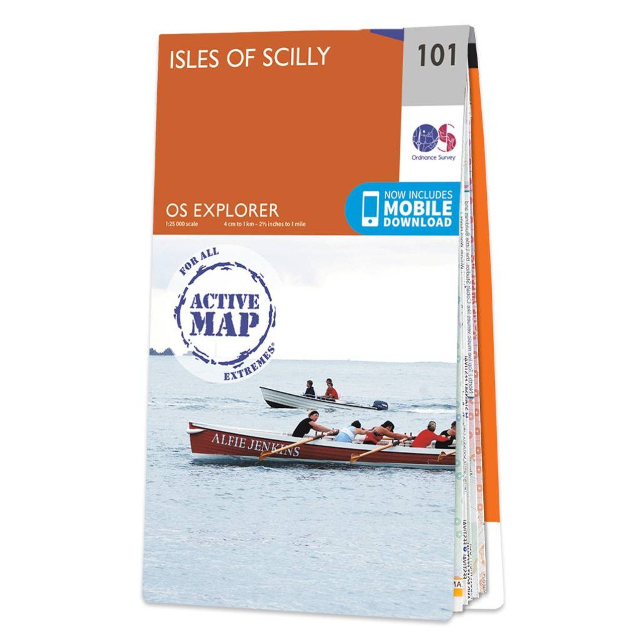
Map of Isles of Scilly - OS Explorer Map 101 Standard Publication Date: 16/09/2015 Weatherproof Publication Date: 16/09/2015
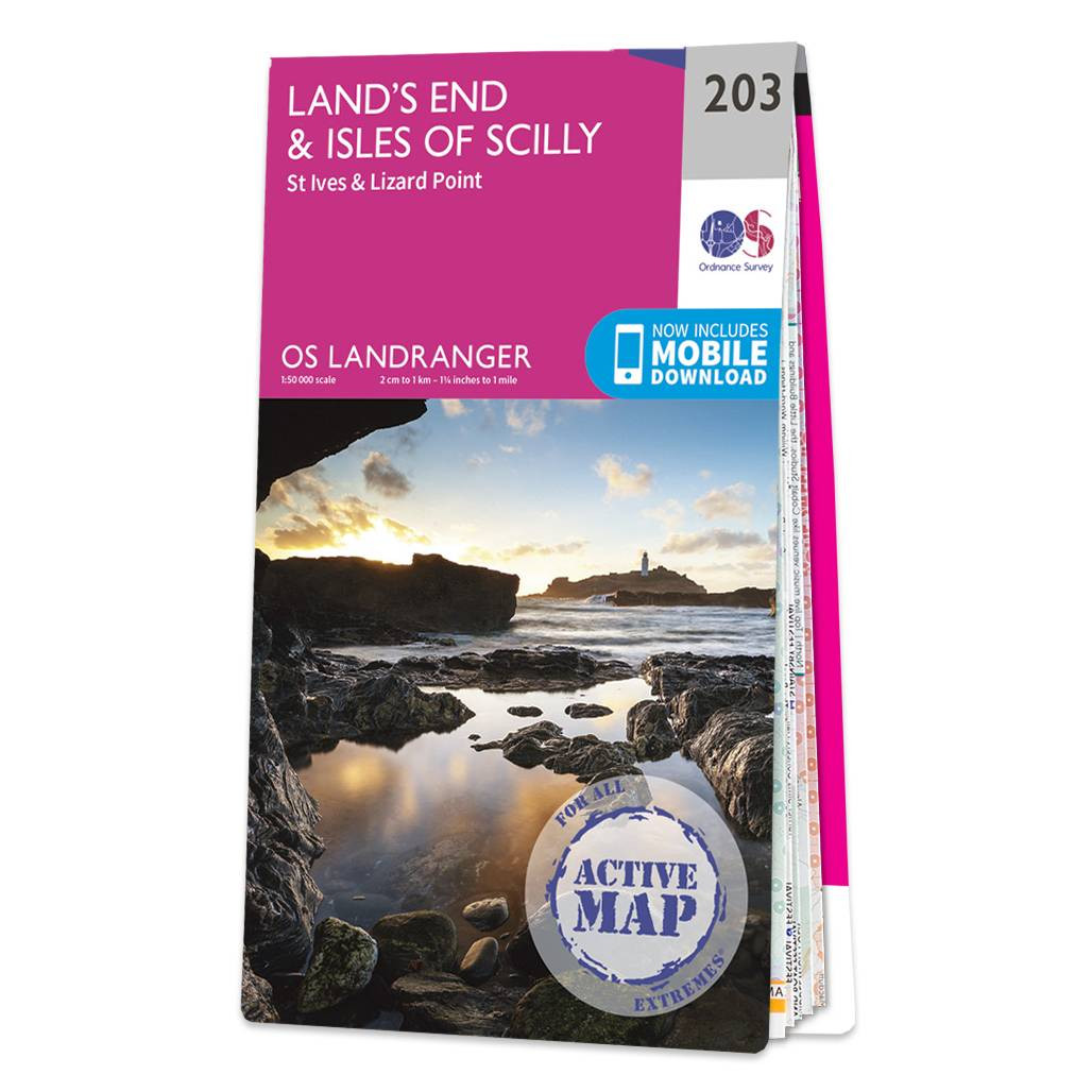
Revel in everything the furthest point of Cornwall has to offer with the Land's End & Isles of Scilly Landranger. Discover beautiful gems, like the 'Minack Theatre' — a marvellous amphitheatre built into the rock at Porthcurno.Take a wonder along St...
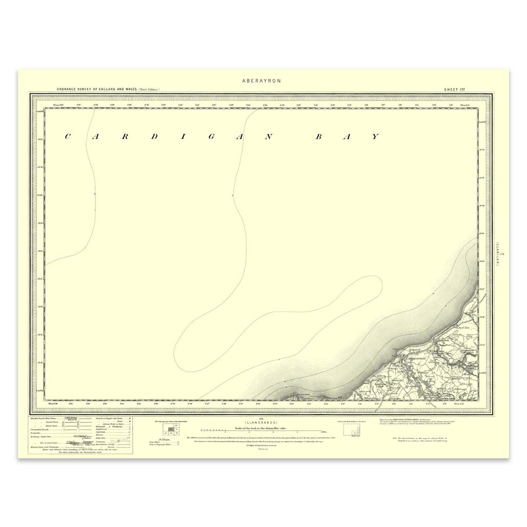
An authentic reproduction Ordnance Survey map of Aberayron from the Revised New Edition, 1896 to 1904. Printed flat, and delivered rolled in a tube. About our range of historical maps Our stunning Ordnance Survey Historical Maps make ideal gifts. Perfect...
|
|