|
|
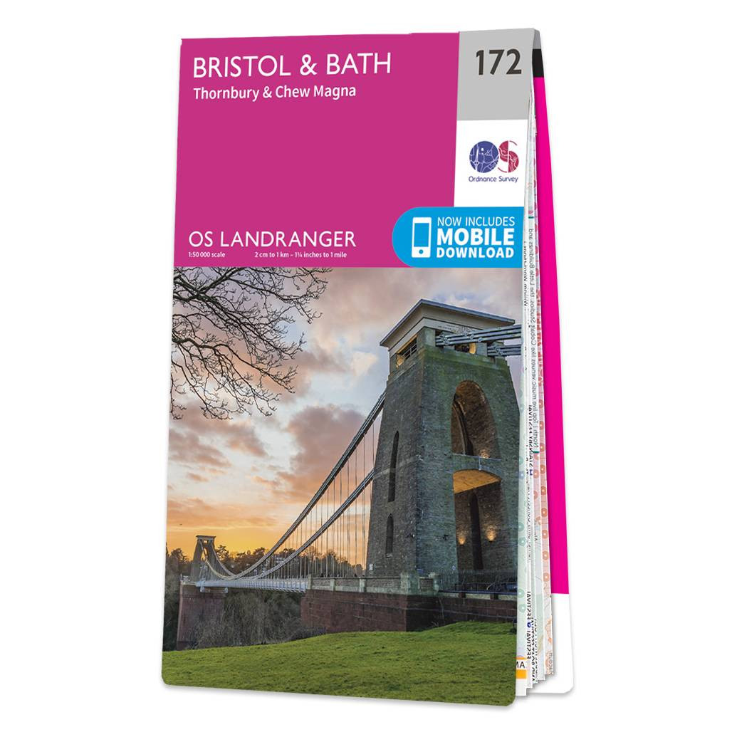
The Landranger map of Bristol & Bath, including Thornbury & Chew Magna, is a must-have when planning a trip to the area. Landranger maps are perfect for extensive hikes, cycling, and driving holidays. Ideal for planning days out or holidays to Bath, a world heritage site and beautiful Georgian city on the River Avon. Other highlights of this map include Bristol, the Southern end of the Cotswolds Way and the Roman Baths — the highlight of the city of Bath.Our Landranger maps come in standard or Weatherproof Active, you'll also receive a free download for your devices — making for a convenient companion. Standard Publication Date: 16/04/2021 Weatherproof Publication Date: 27/05/2021
Price: £12.99 from Ordnance Survey
| Retailer | Price | |
|---|---|---|
| Ordnance Survey | £12.99 | Go to shop |
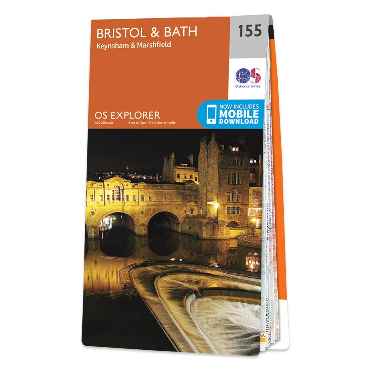
Map of Bristol & Bath - OS Explorer Map 155 (Keynsham & Marshfield) Standard Publication Date: 27/02/2024 Weatherproof Publication Date: 16/09/2015

Coll & Tiree map - OS Landranger 46 Format: Folded map Physical Size: 1000 x 890 mm (134 x 227 mm folded) Standard Publication Date: 24/02/2016 Weatherproof Publication Date: 24/02/2016

Isle of Arran map - OS Landranger 69 Format: Folded map Physical Size: 1000 x 890 mm (134 x 227 mm folded) Standard Publication Date: 24/02/2016 Weatherproof Publication Date: 24/02/2016
|
|