|
|
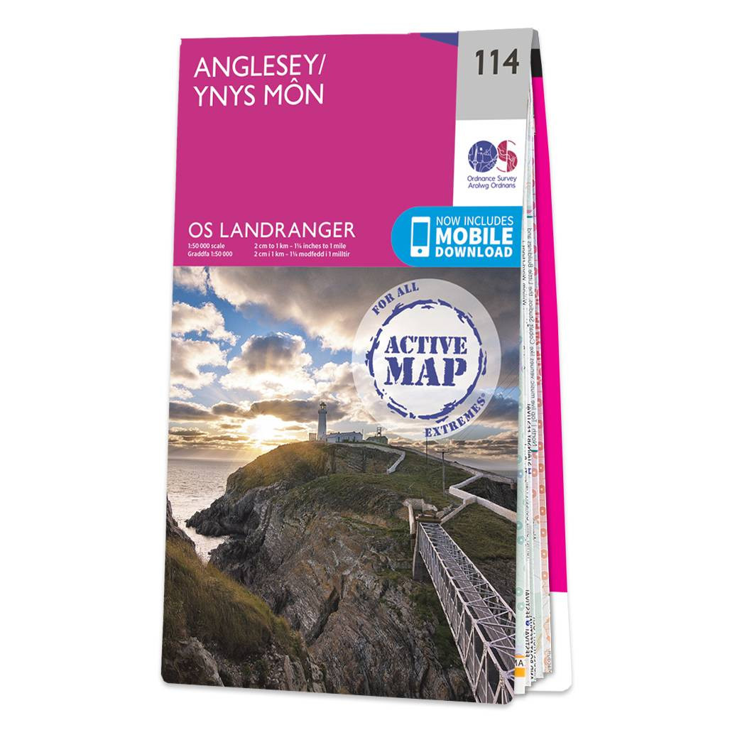
The OS Landranger map of Anglesey/Ynys Môn is a must-have for your next trip to the area. Landranger maps are perfect for longer hikes, cycling, and driving holidays, as they show roads, footpaths, cycle routes and key tourist features. Ideal for planning days out or holidays to the rural Welsh island of Anglesey; surrounded by sandy beaches and rocky caves, with stunning agriculture inland. Anglesey caters brilliantly for tourists with a wide choice of accommodation and things to see and do. Take a trip to the largest town on the island, Holyhead — a bustling ferry port with excellent fishing, golfing, and sailing facilities.Our Landranger maps come in Standard or Weatherproof Active, you'll also receive a free download for your devices — making for a convenient companion. Standard Publication Date: 16/05/2024 Weatherproof Publication Date: 29/05/2024
Price: £16.99 from Ordnance Survey
| Retailer | Price | |
|---|---|---|
| Ordnance Survey | £16.99 | Go to shop |
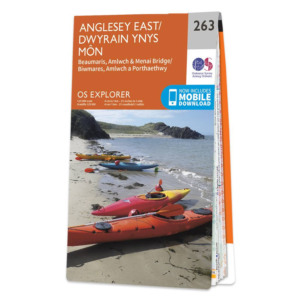
Purchase the Anglesey East folded map: double-sided (boarded cover) from the OS Explorer Map range Standard Publication Date: 31/05/2023 Weatherproof Publication Date: 02/11/2023

Purchase the Anglesey West folded map: single-sided (boarded cover) from the OS Explorer Map range Format: Folded map Physical Size: 1270 x 952 mm (133 x 240 mm folded) Standard Publication Date: 16/09/2015 Weatherproof Publication Date: 16/09/2015

Coll & Tiree map - OS Landranger 46 Format: Folded map Physical Size: 1000 x 890 mm (134 x 227 mm folded) Standard Publication Date: 24/02/2016 Weatherproof Publication Date: 24/02/2016
|
|