|
|

Purchase the Anglesey West folded map: single-sided (boarded cover) from the OS Explorer Map range Format: Folded map Physical Size: 1270 x 952 mm (133 x 240 mm folded) Standard Publication Date: 16/09/2015 Weatherproof Publication Date: 16/09/2015
Price: £12.99 from Ordnance Survey
| Retailer | Price | |
|---|---|---|
| Ordnance Survey | £12.99 | Go to shop |
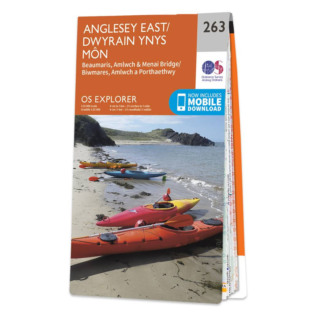
Purchase the Anglesey East folded map: double-sided (boarded cover) from the OS Explorer Map range Standard Publication Date: 31/05/2023 Weatherproof Publication Date: 02/11/2023

Map of West Lewis - OS Explorer Map 458 (Callanish & Great Bernera) Format: Folded map Physical Size: 1270 x 952 mm (133 x 240 mm folded) Standard Publication Date: 16/09/2015 Weatherproof Publication Date: 16/09/2015
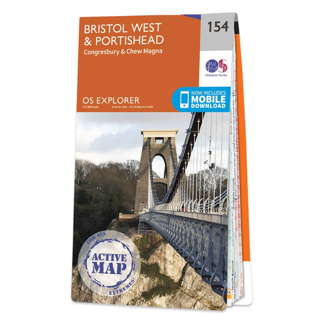
Map of Bristol West & Portishead - OS Explorer Map 154 (Congresbury & Chew Magna) Standard Publication Date: 16/09/2015 Weatherproof Publication Date: 16/09/2015
|
|