
OSI Discovery Sheet No. 34 covers part of County Cavan, Longford, Leitrim, Meath and Westmeath at a 1:50 000 scale, and is designed for all sorts of leisure activities including walking, cycling and tourism. Features shown on the Discovery series include...

OSI Discovery Sheet No. 46 covers part of County Galway at a 1:50 000 scale and is designed for all sorts of leisure activities including walking, cycling and tourism. Features shown on the Discovery series include walking trails, cycle routes, forest...
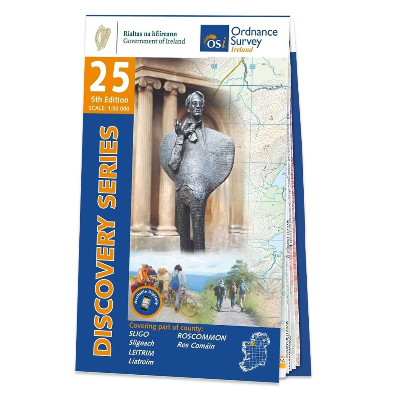
OSI Discovery Sheet No. 25 covers part of Counties Sligo, Roscommon and Leitrim at a 1:50 000 scale, and is designed for all sorts of leisure activities including walking, cycling and tourism. Features shown on the Discovery series include walking trails,...

OSI Discovery Sheet No. 84 covers part of County Cork and Kerry at a 1:50 000 scale and is designed for all sorts of leisure activities including walking, cycling and tourism. Features shown on the Discovery series include walking trails, cycle routes,...
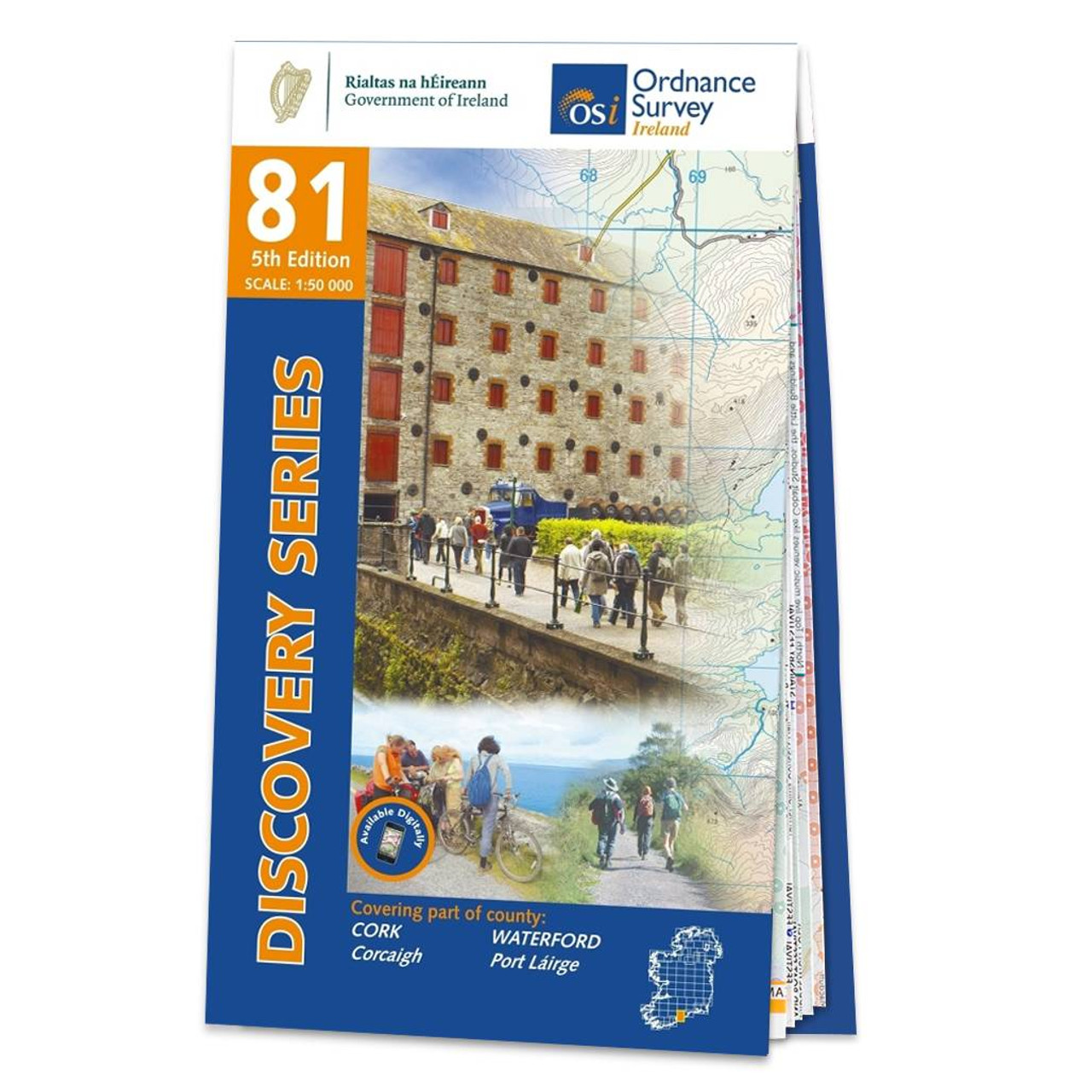
OSI Discovery Sheet No. 81 covers part of County Cork and Waterford at a 1:50 000 scale and is designed for all sorts of leisure activities including walking, cycling and tourism. Features shown on the Discovery series include walking trails, cycle routes,...

This new title to Orkney and Shetland presents the most northerly Pathfinder® Guide walks in our series: 28 outstanding walks – 23 circular and five there-and-back routes visiting eleven islands across both archipelagos. The size and nature of the...

Experience breathtaking north Wales with 28 unforgettable walks through Anglesey, the Lleyn Peninsula and the Snowdonia National Park. Find stunning views of the Welsh coast, the ‘holy isle’ of Ynys Mon and sublime Snowdonia with a range of walks...

This unique guide is devoted entirely to accessible walks, includes 38 routes across Cumbria, featuring the Solway coast, Carlisle, Hadrian’s Wall, and the Lake District from Bassenthwaite Lake to Windermere and Ennerdale to Lowther Park. Designed to...

This guide comprises 33 beautiful walks ranging in distance from 0.5 to 8 miles across North Yorkshire, with ten routes in the Yorkshire Dales National Park, eleven in the North York Moors National Park, North Sea coast routes at Whitby, Robin Hood’s...

Opening with a gentle short walk at Hawick, visiting Wilton Lodge Park is the company of the River Teviot, and concluding with a more challenging ramble to the north of Melrose, walks are arranged in the book by completion time, with shorter and easier...
|
|