|
|
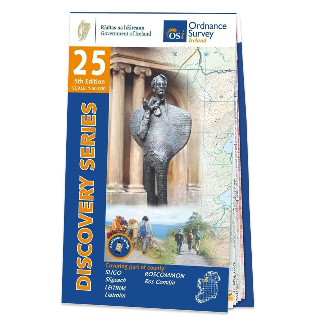
OSI Discovery Sheet No. 25 covers part of Counties Sligo, Roscommon and Leitrim at a 1:50 000 scale, and is designed for all sorts of leisure activities including walking, cycling and tourism. Features shown on the Discovery series include walking trails, cycle routes, forest parks and nature reserves. There is also tourist information such as campsites/caravan parks, youth hostels, tourist information offices, picnic places, standing stones, battlefields, golf courses and viewpoints. Available as a paper, folded map. Please see back cover image for the area covered. Format: Folded map Physical Size: 113 x 185 mm folded Publication Date: 24/04/2020
Price: £8.24 from Ordnance Survey
| Retailer | Price | |
|---|---|---|
| Ordnance Survey | £8.24 | Go to shop |

OSI Discovery Sheet No. 26 covers part of Counties Cavan, Leitrim, Sligo, Fermanagh and Roscommon at a 1:50 000 scale, and is designed for all sorts of leisure activities including walking, cycling and tourism. Features shown on the Discovery series include...
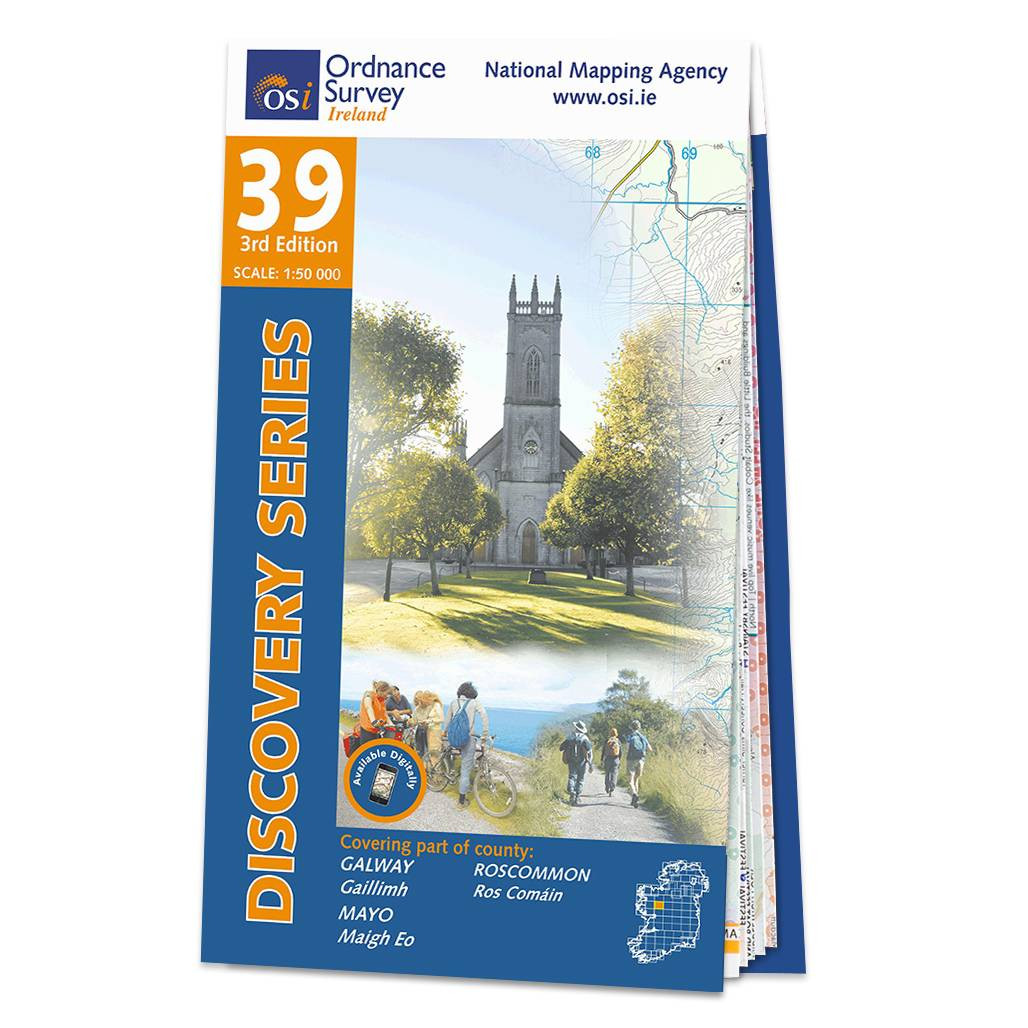
OSI Discovery Sheet No. 39 covers part of County Galway, Roscommon and Mayo at a 1:50 000 scale and is designed for all sorts of leisure activities including walking, cycling and tourism. Features shown on the Discovery series include walking trails,...

OSI Discovery Sheet No. 03 covers part of Counties Derry and Donegal at a 1:50 000 scale, and is designed for all sorts of leisure activities including walking, cycling and tourism. Features shown on the Discovery series include walking trails, cycle...
|
|