Bournemouth & Purbeck (inc. Wimborne Minster & Ringwood) map - OS Landranger 195 Standard Publication Date: 04/10/2017 Weatherproof Publication Date: 04/12/2017
Dundee & Montrose (inc. Forfar & Arbroath) map - OS Landranger 54 Format: Folded map Physical Size: 1000 x 890 mm (134 x 227 mm folded) Standard Publication Date: 24/02/2016 Weatherproof Publication Date: 24/02/2016
Eastbourne & Hastings (inc. Crowborough, Battle & Heathfield) map - OS Landranger 199 Standard Publication Date: 02/11/2023 Weatherproof Publication Date: 18/03/2024

OS Road 2: Western Scotland, including the Western Isles- Ideal for planning long distance journeys Handy back-up to your satnav Quickly find alternative routes in heavy traffic Detailed map symbols and contouring Format: Folded map Publication date:...

185miles of superb South Down and East Sussex walking with the best routes of the South Downs Way . . . Get lost in 28 beautiful walks across South Downs national Park and East Sussex with the OS Pathfinder Guidebooks, graded by length and ranging from...

OS Road 5: East Midlands Ideal for planning long distance journeys Handy back-up to your satnav Quickly find alternative routes in heavy traffic Detailed map symbols and contouring Format: Folded map Publication date: 20/01/2020

OS Road 3: Southern Scotland and Northumberland Ideal for planning long distance journeys Handy back-up to your satnav Quickly find alternative routes in heavy traffic Detailed map symbols and contouring Format: Folded map Publication date: 18/03/2024

OS Road 8: South East England Ideal for planning long distance journeys Handy back-up to your satnav Quickly find alternative routes in heavy traffic Detailed map symbols and contouring Format: Folded map Publication date: 16/06/2025
Inverness & Loch Ness (inc. Strathglass) map - OS Landranger 26 Format: Folded map Physical Size: 1000 x 890 mm (134 x 227 mm folded) Standard Publication Date: 08/09/2021 Weatherproof Publication Date: 03/03/2022
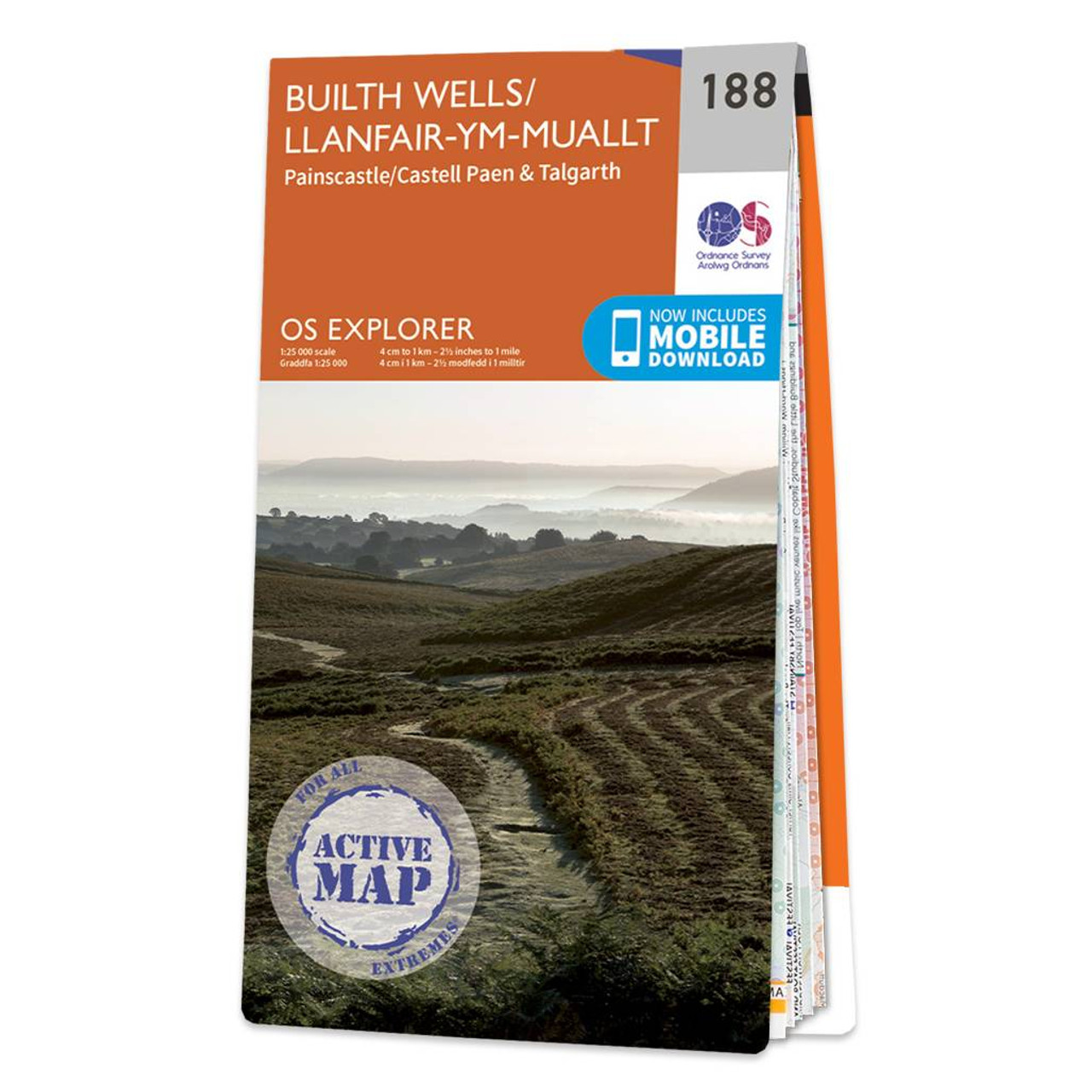
Map of Builth Wells - OS Explorer Map 188 (Painscastle & Talgarth) Standard Publication Date: 16/09/2015 Weatherproof Publication Date: 16/09/2015
|
|