Okehampton & North Dartmoor (inc. Crediton & Bovey Tracey) map - OS Landranger 191 Standard Publication Date: 24/02/2016 Weatherproof Publication Date: 24/02/2016
Lochgilphead & Loch Awe map - OS Landranger 55 Format: Folded map Physical Size: 1000 x 890 mm (134 x 227 mm folded) Standard Publication Date: 24/02/2016 Weatherproof Publication Date: 24/02/2016
Stoke-on-Trent & Macclesfield map - OS Landranger 118 Standard Publication Date: 22/06/2017 Weatherproof Publication Date: 26/07/2017
Plymouth & Launceston (inc. Tavistock & Looe) map - OS Landranger 201 Standard Publication Date: 24/02/2016 Weatherproof Publication Date: 24/02/2016
Yeovil & Frome (inc. Shaftesbury & Shepton Mallet) map - OS Landranger 183 Standard Publication Date: 04/10/2017 Weatherproof Publication Date: 18/01/2018
Cheviot Hills & Kielder Water map - OS Landranger 80 Standard Publication Date: 24/02/2016 Weatherproof Publication Date: 24/02/2016
The OS Explorer map of The English Lakes, North Western area, including Keswick, Cockermouth, & Wigton.Explorer OL4 is a must-have when visiting the North-West area of the Lakes. Take in the stunning sights on the Catbells walk, soak up the views at Derwent...

Barnstaple & Ilfracombe (inc. Lynton & Bideford) map - OS Landranger 180 Standard Publication Date: 24/02/2016 Weatherproof Publication Date: 24/02/2016
Map of Weston-super-Mare & Bleadon Hill - OS Explorer Map 153 (Burnham-on-Sea & Clevedon) Format: Folded map Physical Size: 952 x 1270 mm (133 x 240 mm folded) Standard Publication Date: 30/06/2025 Weatherproof Publication Date: 10/08/2017
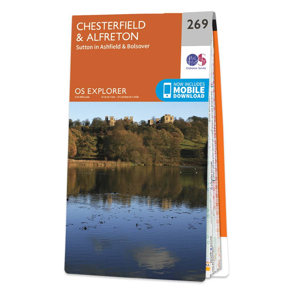
Map of Chesterfield & Alfreton - OS Explorer Map 269 (Sutton in Ashfield & Bolsover) Standard Publication Date: 16/09/2015 Weatherproof Publication Date: 16/09/2015
|
|