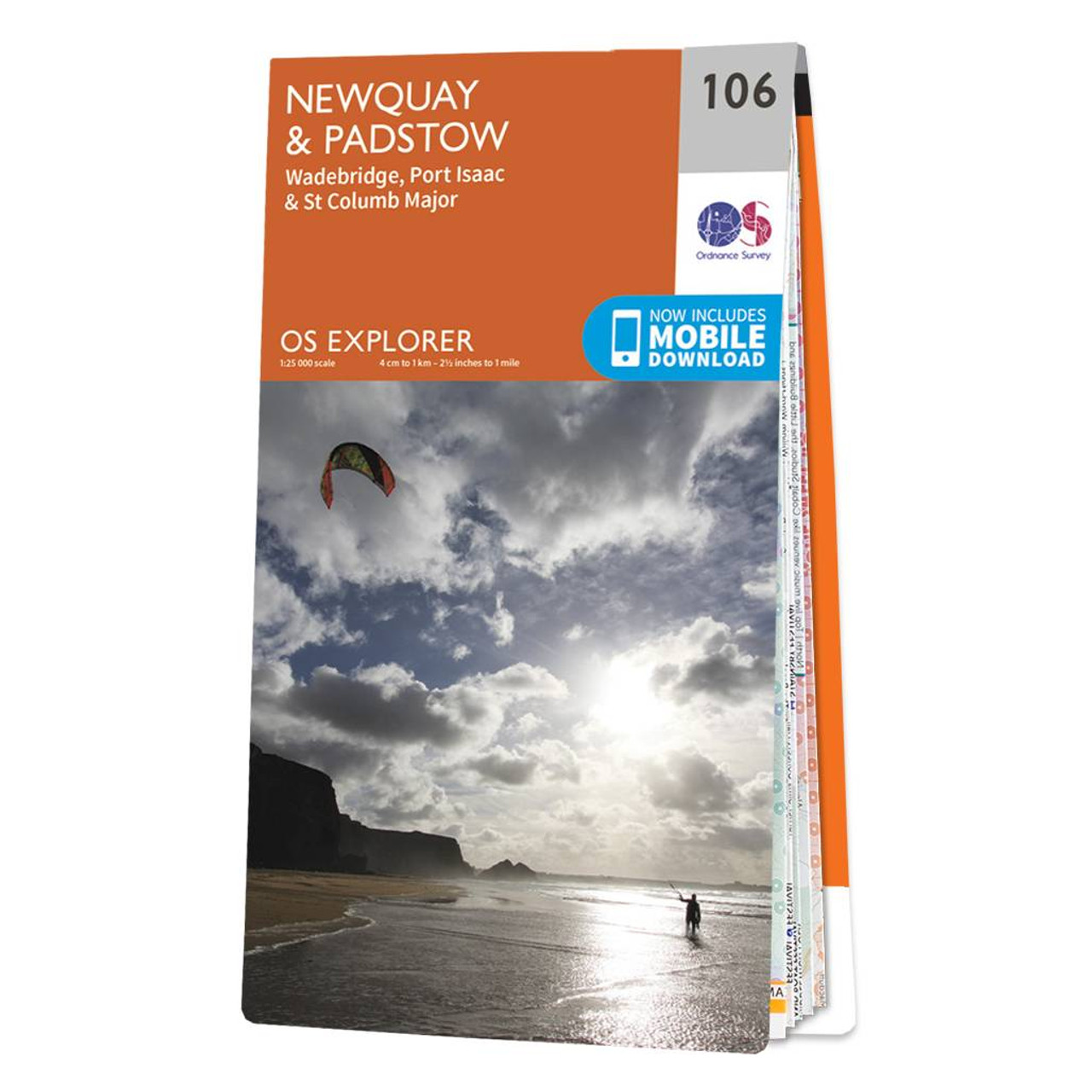
The OS Explorer map of Newquay & Padstow is a must-have companion for your next trip to the area.Explore Newquay, Padstow, and Port Issac, down to St Austel. The coastal area is popular amongst holidaymakers, perfect for hiking, surfing, and other water...
South Kintyre & Campbeltown map - OS Landranger 68 Format: Folded map Physical Size: 1000 x 890 mm (134 x 227 mm folded) Standard Publication Date: 24/02/2016 Weatherproof Publication Date: 24/02/2016
Map of Biggar & Broughton - OS Explorer Map 336 (Culter Fell & Dollar Law ) Format: Folded map Physical Size: 952 x 1270 mm (133 x 240 mm folded) Standard Publication Date: 16/09/2015 Weatherproof Publication Date: 16/09/2015
Weston-super-Mare (inc. Bridgwater & Wells) map - OS Landranger 182 Standard Publication Date: 28/03/2019 Weatherproof Publication Date: 02/05/2019
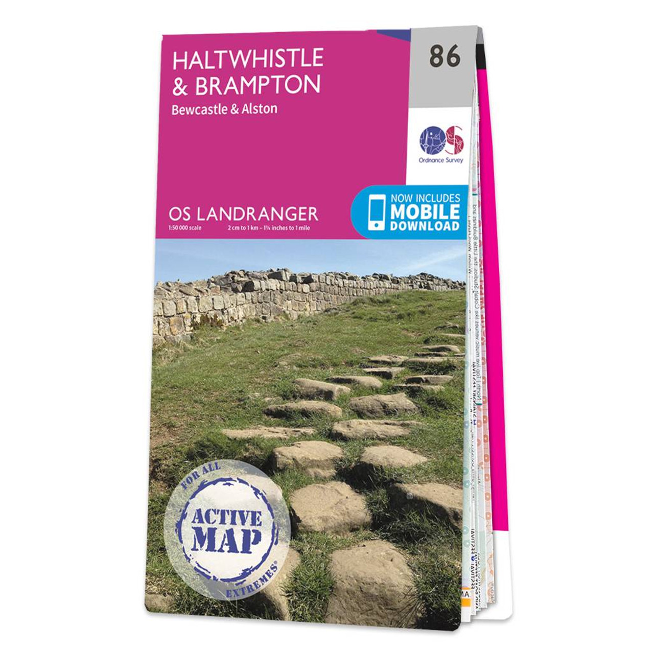
Haltwhistle & Brampton (inc. Bewcastle & Alston) map - OS Landranger 86 Standard Publication Date: 24/02/2016 Weatherproof Publication Date: 24/02/2016
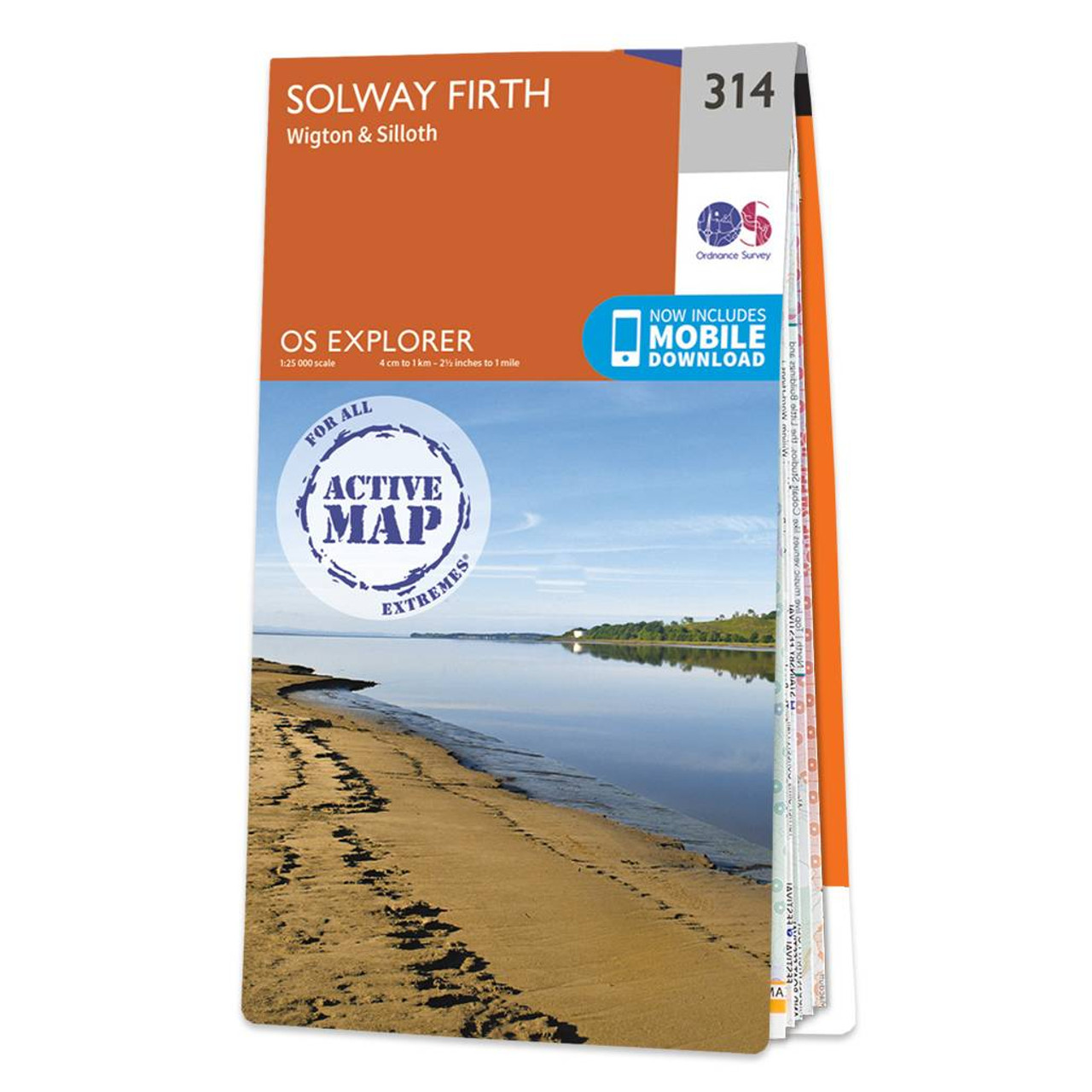
Map of Solway Firth - OS Explorer Map 314 (Wigton & Silloth) Standard Publication Date: 16/09/2015 Weatherproof Publication Date: 16/09/2015
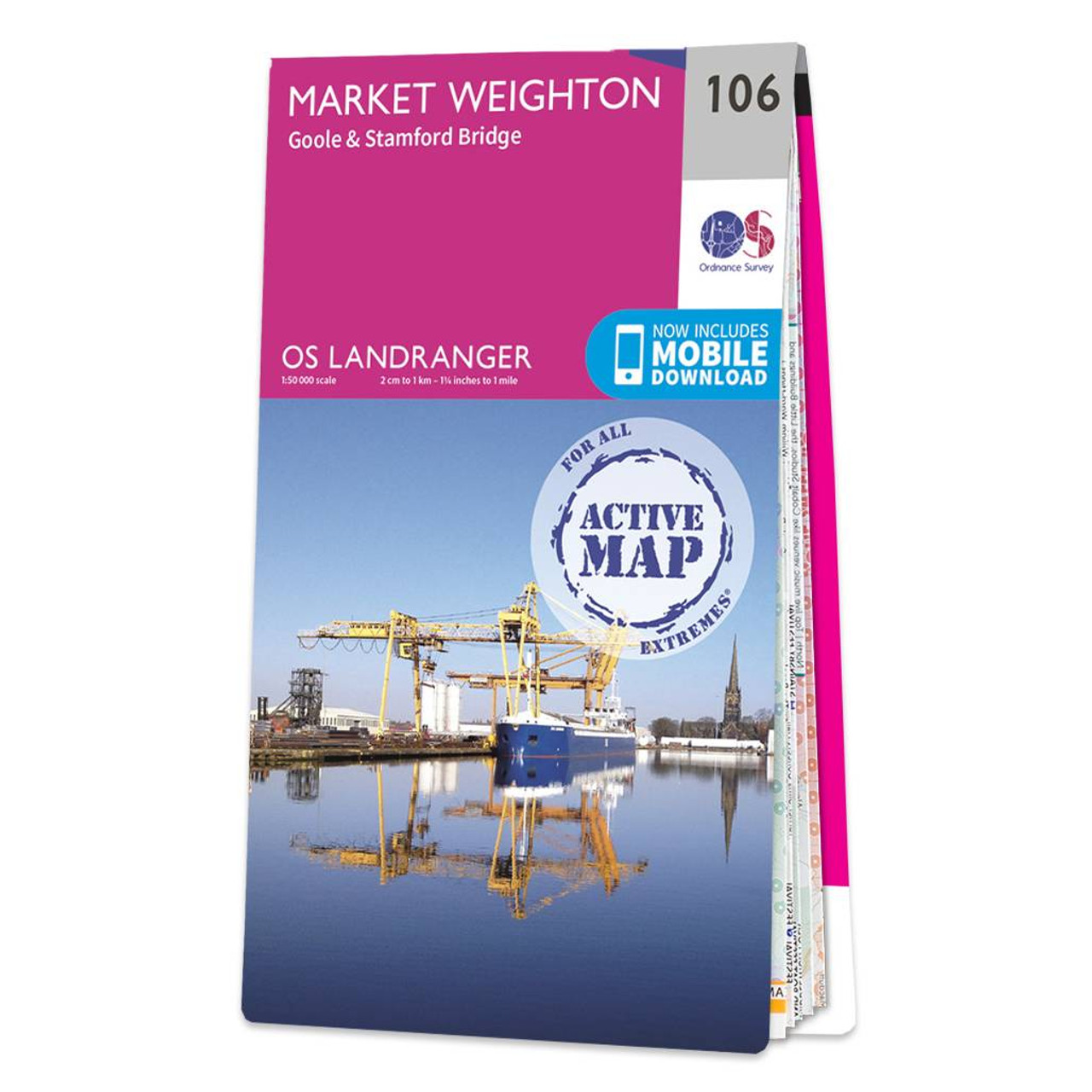
Market Weighton (inc. Goole & Stamford Bridge) map - OS Landranger 106 Standard Publication Date: 24/02/2016 Weatherproof Publication Date: 24/02/2016

South and Mid Wales OS Tour map: 1:175 000 tourist map Format: Folded map
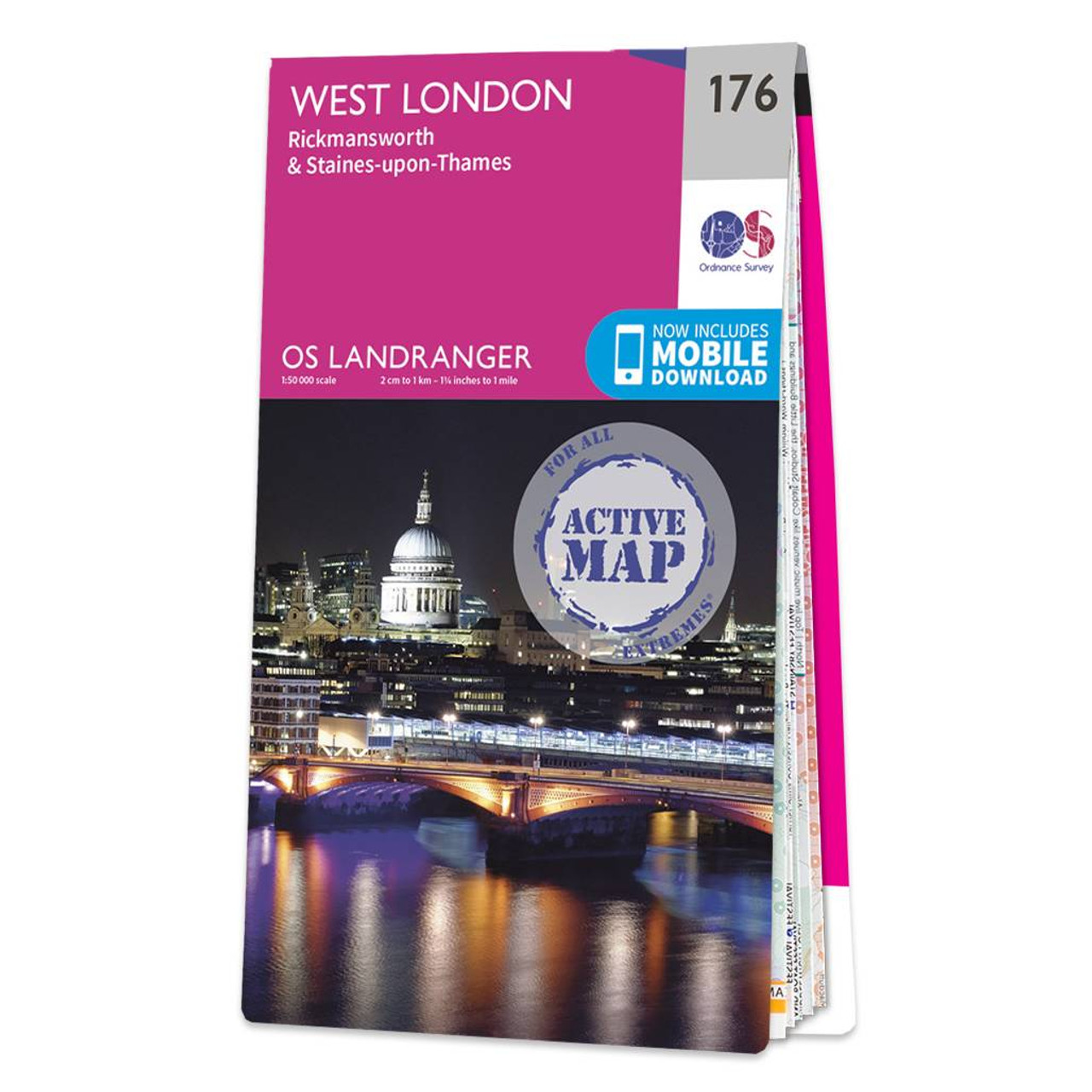
West London (inc. Rickmansworth & Staines) map - OS Landranger 176 Standard Publication Date: 24/02/2016 Weatherproof Publication Date: 24/02/2016
|
|
