
OSI Discovery Sheet No. 86 covers part of County Cork at a 1:50 000 scale and is designed for all sorts of leisure activities including walking, cycling and tourism. Features shown on the Discovery series include walking trails, cycle routes, forest parks...

Barra & South Uist (inc. Vatersay & Eriskay) map - OS Landranger 31 Format: Folded map Physical Size: 1000 x 890 mm (134 x 227 mm folded) Standard Publication Date: 20/06/2023 Weatherproof Publication Date: 11/04/2024
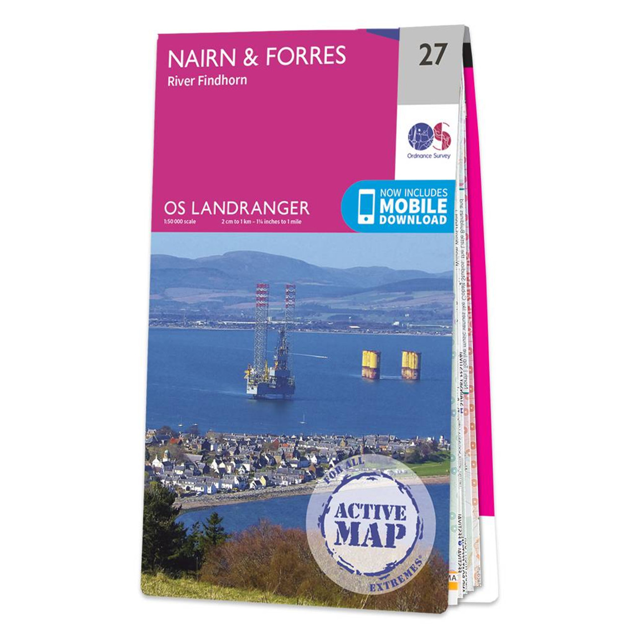
Nairn & Forres (inc. River Findhorn) map - OS Landranger 27 Publication Date: 24/02/2016
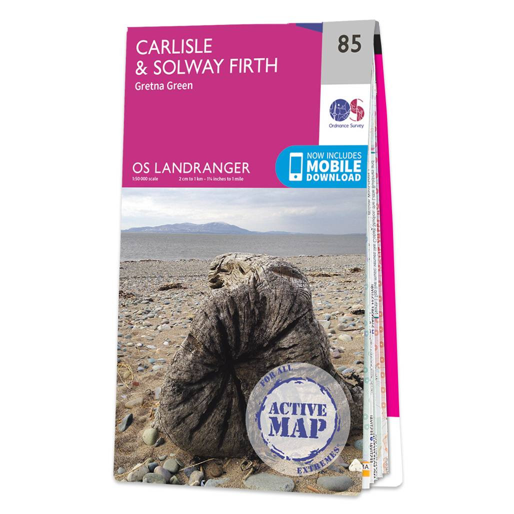
Carlisle & Solway Firth (inc. Gretna Green) map - OS Landranger 85 Standard Publication Date: 24/02/2016 Weatherproof Publication Date: 24/02/2016
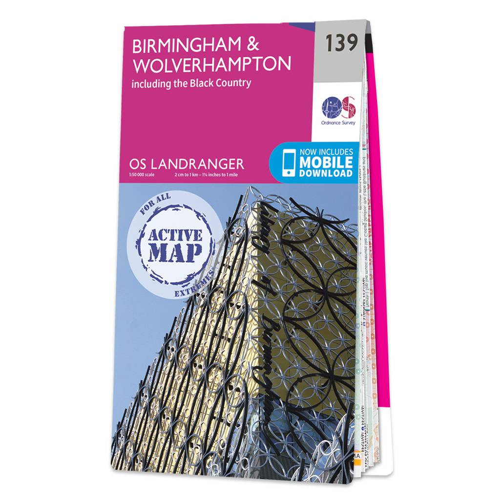
Birmingham & Wolverhampton (inc. including The Black Country) map - OS Landranger 139 Standard Publication Date: 18/05/2018 Weatherproof Publication Date: 12/07/2018
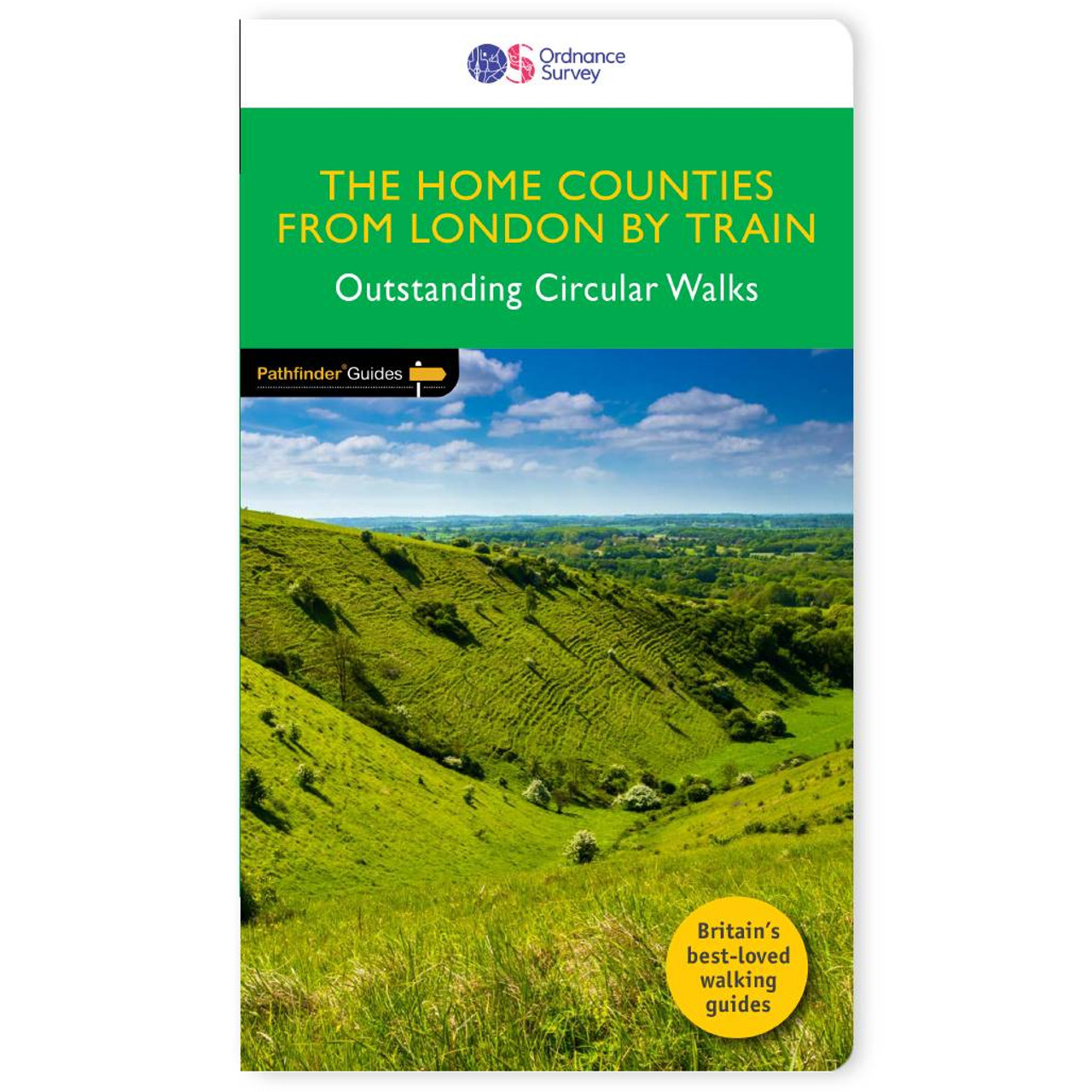
The all-revised edition contains 27 carefully selected walks, all chosen to be easily accessible from London's main railway stations. The routes lie across Essex, Bedfordshire, Oxfordshire, Surrey, West Sussex, East Sussex, and Kent. With routes ranging...
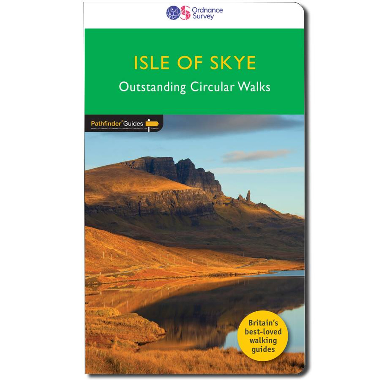
150 miles of fabulous walking from lazy-day strolls on the white sandy beaches Dunvegan to a demanding but spectacular ascent of the Cuillin ridge . . . Take on 28 beautiful walks of two to eleven miles across stunning landscapes using the OS Pathfinder...
Kingussie & Monadhliath Mountains map - OS Landranger 35 Publication Date: 24/02/2016

OS Road 1: North-East Scotland, including Orkney and Shetland Ideal for planning long distance journeys Handy back-up to your satnav Quickly find alternative routes in heavy traffic Detailed map symbols and contouring. Format: Folded map Publication date:...
Lincoln & Newark-on-Trent map - OS Landranger 121 Format: Folded map Physical Size: 1000 x 890 mm (134 x 227 mm folded) Standard Publication Date: 30/09/2022 Weatherproof Publication Date: 05/12/2023
|
|