|
|
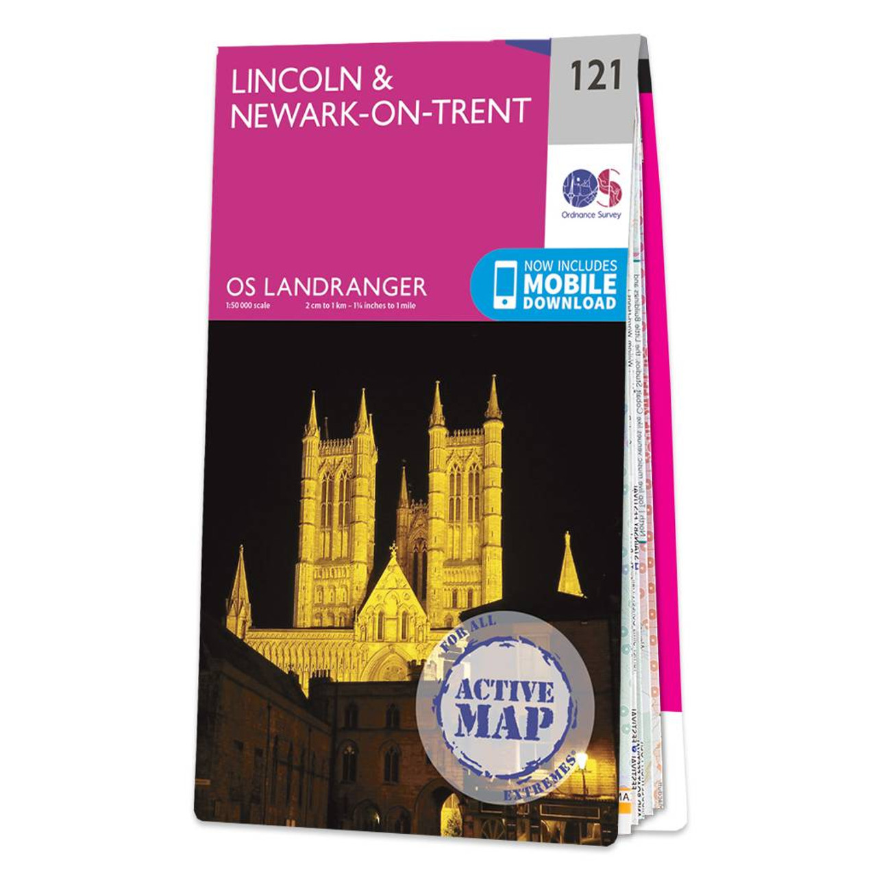
Lincoln & Newark-on-Trent map - OS Landranger 121 Format: Folded map Physical Size: 1000 x 890 mm (134 x 227 mm folded) Standard Publication Date: 30/09/2022 Weatherproof Publication Date: 05/12/2023
Price: £16.99 from Ordnance Survey
| Retailer | Price | |
|---|---|---|
| Ordnance Survey | £16.99 | Go to shop |

Map of Newark-on-Trent - OS Explorer Map 271 (Retford, Southwell & Saxilby) Format: Folded map Physical Size: 890 x 1000 mm (134 x 227 mm folded) Standard Publication Date: 16/09/2015 Weatherproof Publication Date: 16/09/2015

Purchase the Derby and Burton upon Trent folded map: single sided from the OS Landranger Map range Format: Folded map Physical Size: 1000 x 890 mm (134 x 227 mm folded) Standard Publication Date: 25/09/2018 Weatherproof Publication Date: 23/10/2018

Stoke-on-Trent & Macclesfield map - OS Landranger 118 Standard Publication Date: 22/06/2017 Weatherproof Publication Date: 26/07/2017
|
|