Map of Llangollen & Berwyn - OS Explorer Map 255 (Ceiriog Valley) Standard Publication Date: 16/09/2015 Weatherproof Publication Date: 16/09/2015

The OS Explorer map of Brecon Beacons, Western Area is a must-have when visiting the Western Area of the National Park. Whether you're interests are summiting Pen-y-Fan — the highest peak in South Wales, exploring local villages such as the quaint Sennybridge,...

Map of Gravesend & Rochester - OS Explorer Map 163 (Hoo Peninsula) Standard Publication Date: 16/09/2015 Weatherproof Publication Date: 16/09/2015

OSI Discovery Sheet No. 26 covers part of Counties Cavan, Leitrim, Sligo, Fermanagh and Roscommon at a 1:50 000 scale, and is designed for all sorts of leisure activities including walking, cycling and tourism. Features shown on the Discovery series include...
Map of Cirencester & Swindon - OS Explorer Map 169 (Fairford & Cricklade) Format: Folded map Physical Size: 952 x 1270 mm (133 x 240 mm folded) Standard Publication Date: 16/09/2015 Weatherproof Publication Date: 16/09/2015
Purchase the Kelso and Coldstream folded map: single, sided (boarded cover) from the OS Landranger Map range Standard Publication Date: 24/02/2016 Weatherproof Publication Date: 24/02/2016

OSI Discovery Sheet No. 41 covers part of County Longford, Westmeath and Meath at a 1:50 000 scale and is designed for all sorts of leisure activities including walking, cycling and tourism. Features shown on the OSI Discovery series include walking trails,...

Map of Kintyre South - OS Explorer Map 356 (Campbeltown) Format: Folded map Physical Size: 890 x 1000 mm (134 x 227 mm folded) Standard Publication Date: 16/09/2015 Weatherproof Publication Date: 16/09/2015
Map of Isle of Axholme - OS Explorer Map 280 (Scunthorpe & Gainsborough) Standard Publication Date: 16/09/2015 Weatherproof Publication Date: 16/09/2015
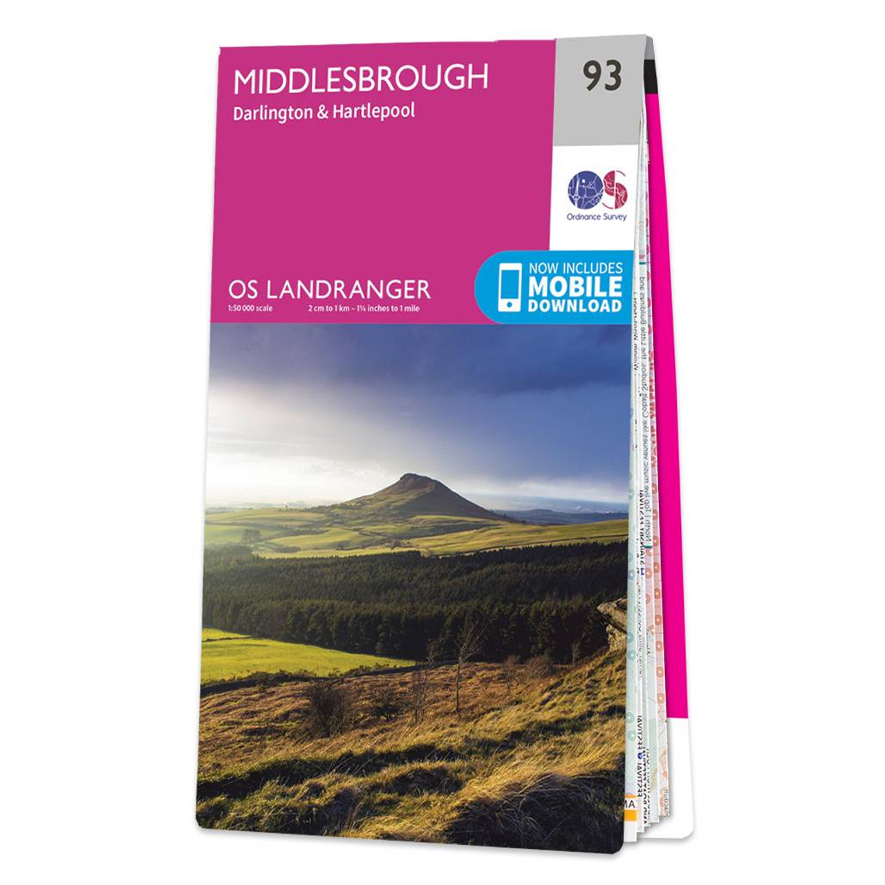
Middlesbrough (inc. Darlington & Hartlepool) map - OS Landranger 93 Standard Publication Date: 14/11/2024 Weatherproof Publication Date: 03/03/2025
|
|