|
|
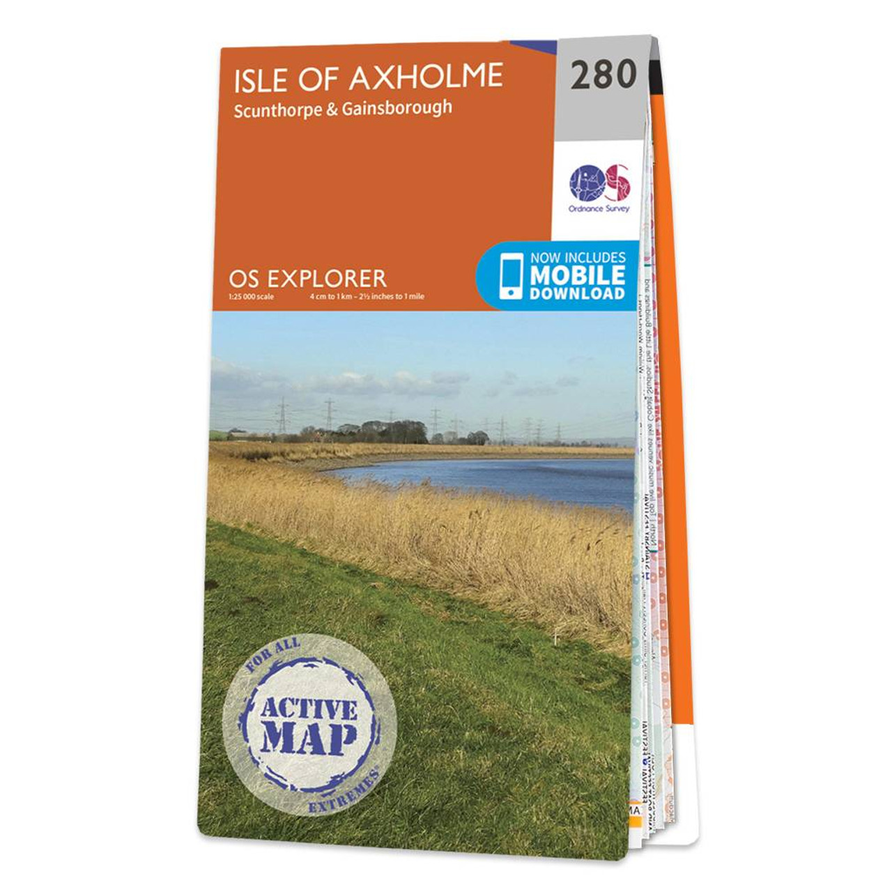
Map of Isle of Axholme - OS Explorer Map 280 (Scunthorpe & Gainsborough) Standard Publication Date: 16/09/2015 Weatherproof Publication Date: 16/09/2015
Price: £16.99 from Ordnance Survey
| Retailer | Price | |
|---|---|---|
| Ordnance Survey | £16.99 | Go to shop |
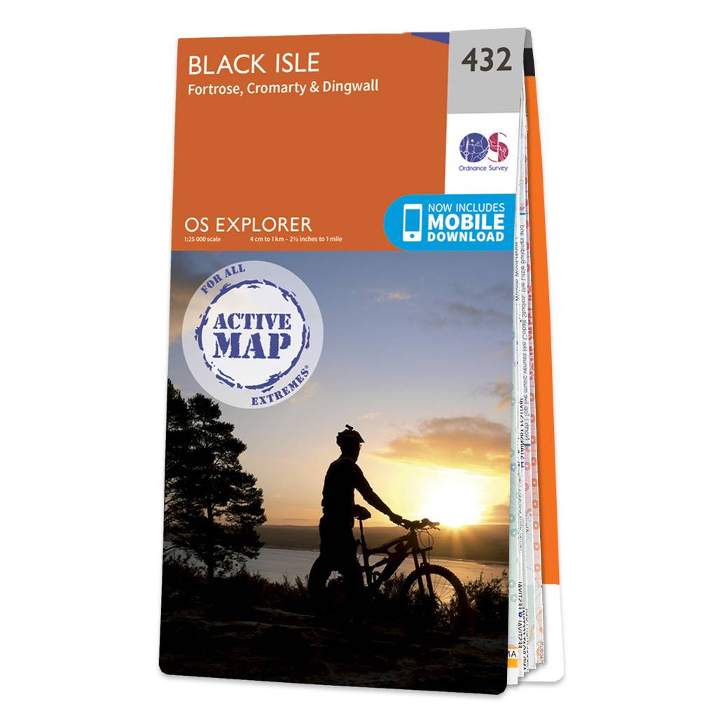
Map of Black Isle - OS Explorer Map 432 (Fortrose, Cromarty & Dingwall) Format: Folded map Physical Size: 1270 x 952 mm (133 x 240 mm folded) Standard Publication Date: 16/09/2015 Weatherproof Publication Date: 16/09/2015
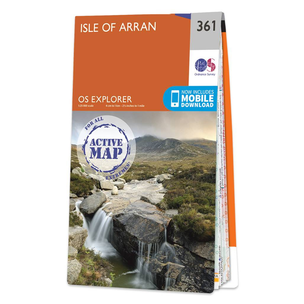
Map of Isle of Arran - OS Explorer Map 361 Format: Folded map Physical Size: 1000 x 890 mm (134 x 227 mm folded) Standard Publication Date: 01/03/2021 Weatherproof Publication Date: 01/03/2021
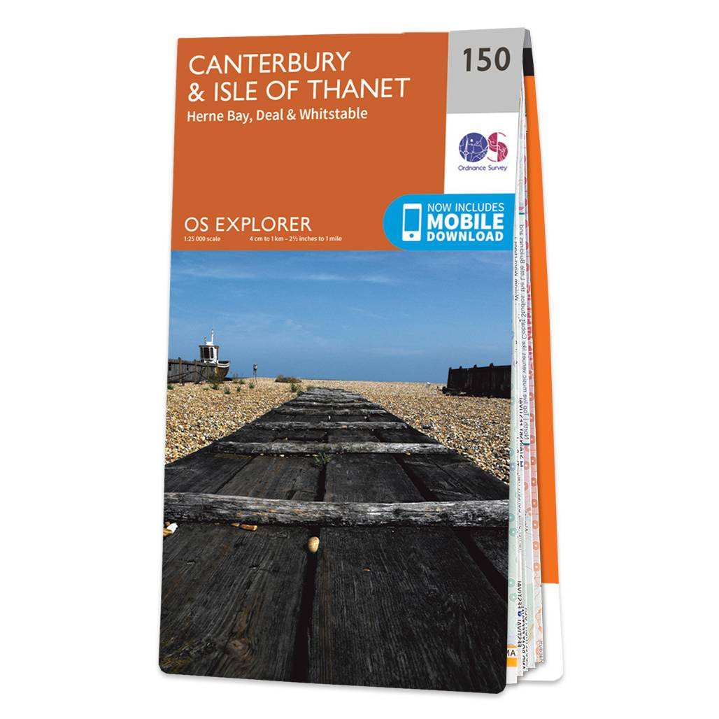
Map of Canterbury & Isle of Thanet - OS Explorer Map 150 (Herne Bay, Deal & Whitstable) Standard Publication Date: 08/01/2024 Weatherproof Publication Date: 17/04/2024
|
|