
Discover Britain's ancient past and famous historical events with this double-sided map that covers features from Palaeolithic and Mesolithic to the early Middle Ages.

OSI Discovery Sheet No. 74 covers part of County Cork, Limerick, Tipperary and Waterford at a 1:50 000 scale and is designed for all sorts of leisure activities including walking, cycling and tourism. Features shown on the Discovery series include walking...
Map of Sherwood Forest - OS Explorer Map 270 (Mansfield, Worksop & Edwinstowe) Standard Publication Date: 29/01/2018 Weatherproof Publication Date: 28/02/2018
Map of Thetford Forest in The Brecks - OS Explorer Map 229 (Thetford & Brandon) Standard Publication Date: 16/09/2015 Weatherproof Publication Date: 16/09/2015
The OS Explorer map of Lyme Regis & Bridport covers the area between East Devon and West Dorset (between Beer and Burton Bradstock).With so much to discover, Explorer 116 is a must-have companion when visiting both Lyme Regis and Bridport. Lyme Regis...
Purchase the St Andrews folded map: single sided from the OS Landranger Map range Format: Folded map Physical Size: 1000 x 890 mm (134 x 227 mm folded) Standard Publication Date: 06/04/2021 Waterproof Publication Date: 05/07/2021
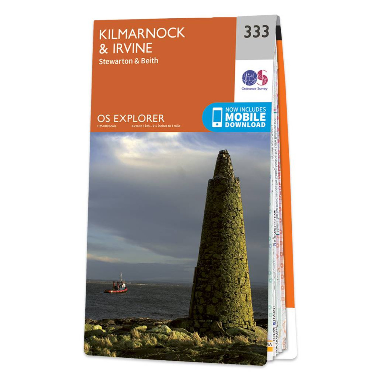
Map of Kilmarnock & Irvine - OS Explorer Map 333 (Stewarton & Beith) Format: Folded map Physical Size: 952 x 1270 mm (133 x 240 mm folded) Standard Publication Date: 16/09/2015 Weatherproof Publication Date: 16/09/2015
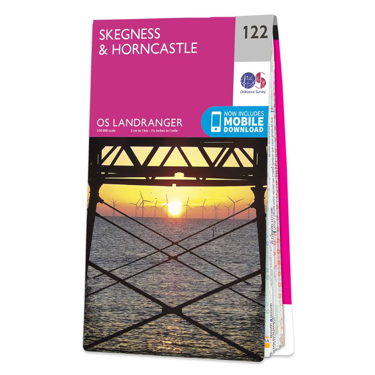
Skegness & Horncastle map - OS Landranger 122 Format: Folded map Physical Size: 1000 x 890 mm (134 x 227 mm folded) Standard Publication Date: 07/07/2025 Weatherproof Publication Date: 14/03/2025
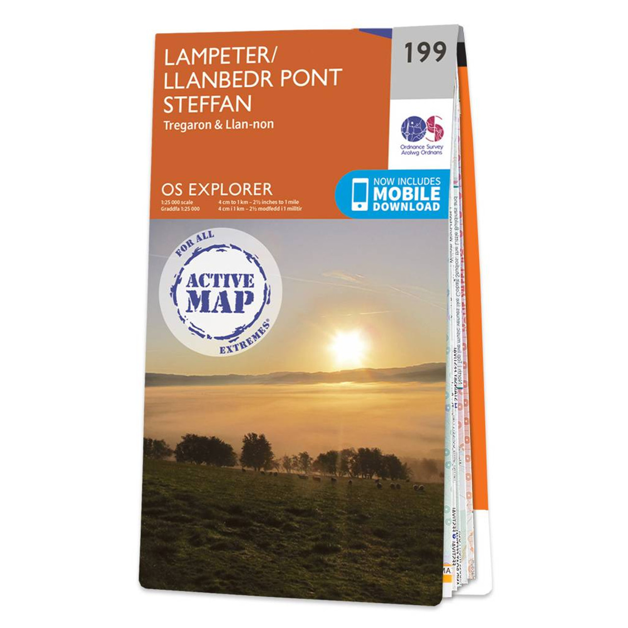
Map of Lampeter - OS Explorer Map 199 (Tregaron & Llan-non) Format: Folded map Physical Size: 952 x 1270 mm (133 x 240 mm folded) Standard Publication Date: 16/09/2015 Weatherproof Publication Date: 16/09/2015
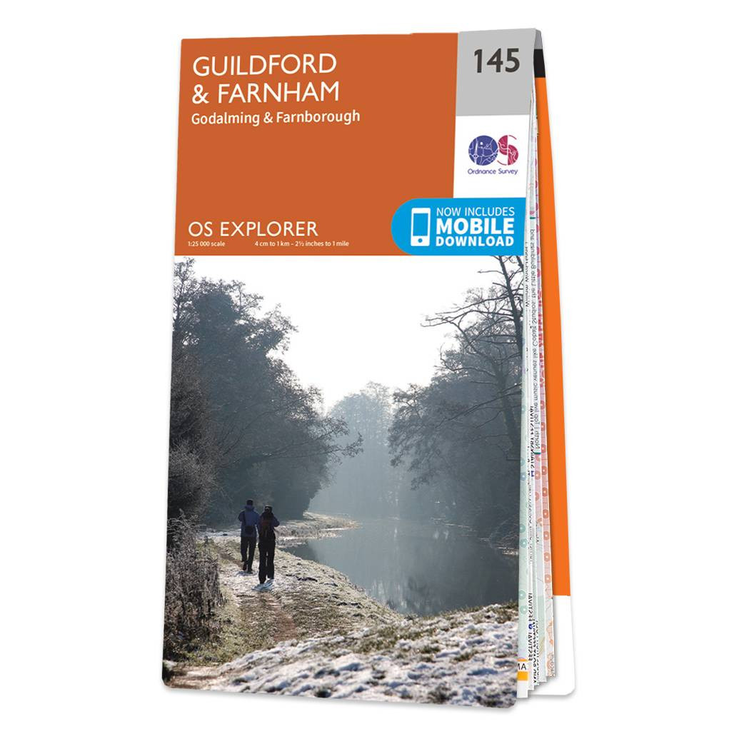
The OS Explorer map of Guildford and Farnham, including Godalming and Farnborough. Surrey is the most wooded county in Britain, and the Surrey Hills have been made an 'Area of Outstanding Natural Beauty'. Explore bustling market towns, to quiet tranquil...
|
|