|
|
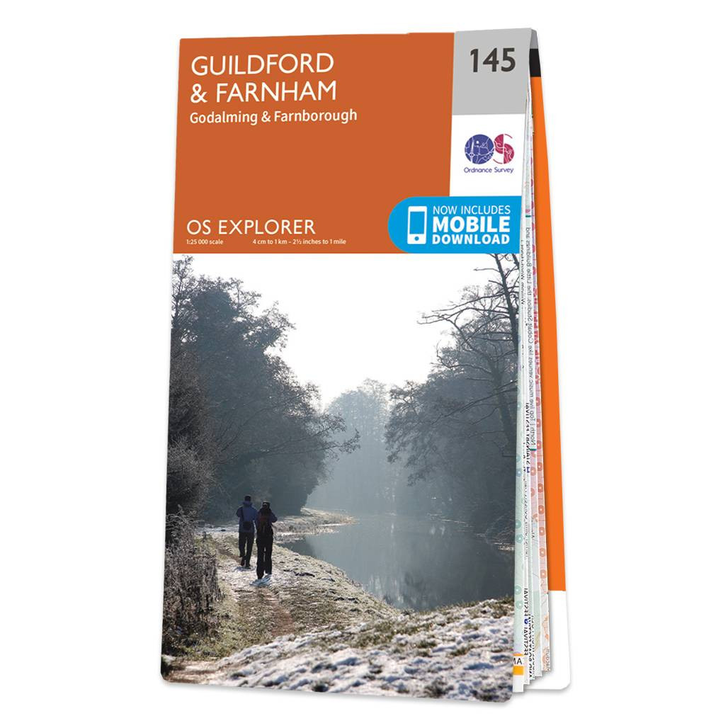
The OS Explorer map of Guildford and Farnham, including Godalming and Farnborough. Surrey is the most wooded county in Britain, and the Surrey Hills have been made an 'Area of Outstanding Natural Beauty'. Explore bustling market towns, to quiet tranquil villages. The first section of the North Downs Way goes from an attractive Georgian town of Farnham to the county town of Surrey, Guildford — including the Hogs Back — River Wey, and so much more. Our Explorer maps come are perfect for day-tripping, extensive hikes, and cycling. They come in both standard and Weatherproof Active, so you'll never get caught out in a storm. This map also comes with a free digital download, so you can access it across your devices, making for a convenient companion. Standard Publication Date: 16/09/2015 Weatherproof Publication Date: 16/09/2015
Price: £12.99 from Ordnance Survey
| Retailer | Price | |
|---|---|---|
| Ordnance Survey | £12.99 | Go to shop |
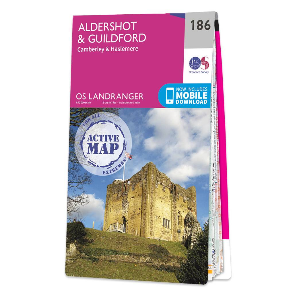
The Landranger map of Aldershot and Guildford, including Camberley and Haslemere is a must-have for your next trip to the area. Landranger maps are perfect for extensive hikes, cycling, and driving holidays.Ideal for planning days out or holidays to the...

Map of Helmsdale & Strath of Kildonan - OS Explorer Map 444 Format: Folded map Physical Size: 1000 x 890 mm (134 x 227 mm folded) Standard Publication Date: 16/09/2015 Weatherproof Publication Date: 16/09/2015

Map of Coll & Tiree - OS Explorer Map 372 Format: Folded map Physical Size: 1000 x 890 mm (134 x 227 mm folded) Standard Publication Date: 16/09/2015 Weatherproof Publication Date: 16/09/2015
|
|