Map of Moffat & St Mary's Loch - OS Explorer Map 330 (Megget Reservoir) Format: Folded map Physical Size: 1270 x 952 mm (133 x 240 mm folded) Standard Publication Date: 16/09/2015 Weatherproof Publication Date: 16/09/2015
Map of Stranraer & The Rhins - OS Explorer Map 309 Format: Folded map Physical Size: 890 x 1000 mm (134 x 227 mm folded) Standard Publication Date: 16/09/2015 Weatherproof Publication Date: 16/09/2015
Map of King's Lynn, Downham Market & Swaffham - OS Explorer Map 236 Standard Publication Date: 16/09/2015 Weatherproof Publication Date: 16/09/2015
Purchase the Glen Garry and Loch Rannoch folded map: single, sided (boarded cover) from the OS Landranger Map range Standard Publication Date: 24/02/2016 Weatherproof Publication Date: 24/02/2016
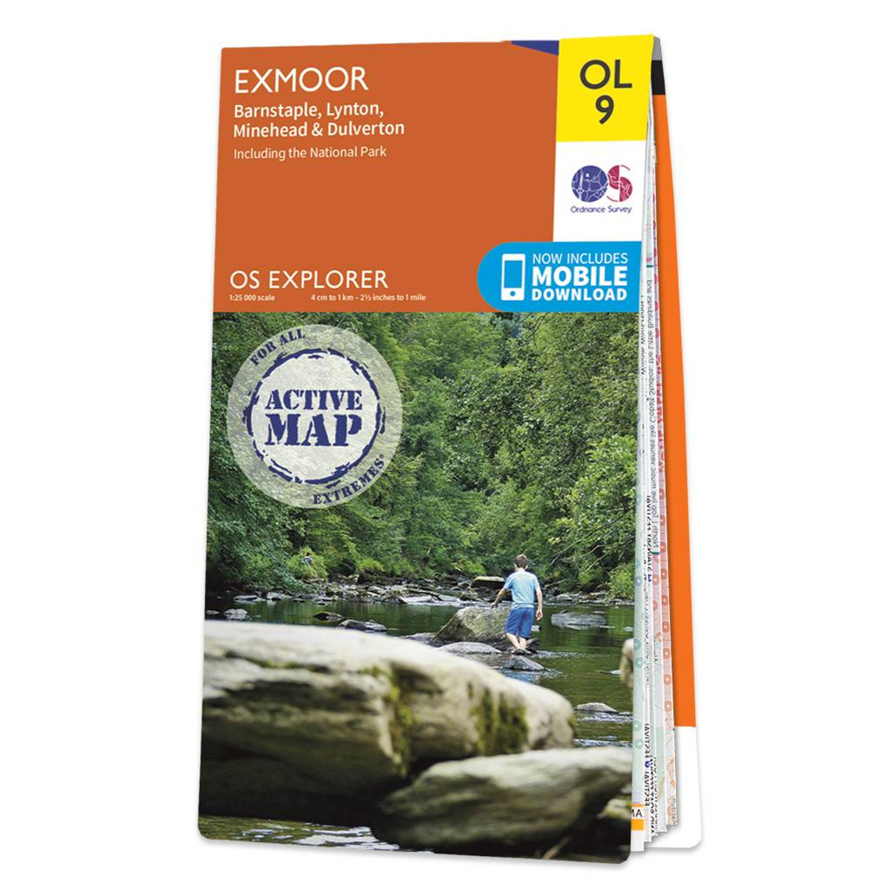
The OS Explorer map of Exmoor, including Barnstaple, Lynton, Minehead, and Dulverton is a must-have when visiting the area.Discover pebble beaches, rocky cliffs, and green valleys. Stop in one of the picturesque postcard villages or small towns for a...

Map of Grimsby, Cleethorpes & Immingham - OS Explorer Map 284 (Caistor & North Thoresby) Standard Publication Date: 16/09/2015 Weatherproof Publication Date: 16/09/2015
Map of Kirkcudbright & Castle Douglas - OS Explorer Map 312 (Gatehouse of Fleet) Publication Date: 16/09/2015
Map of Southend-on-Sea & Basildon - OS Explorer Map 175 (Brentwood & Billericay) Standard Publication Date: 12/05/2025 Weatherproof Publication Date: 19/05/2025
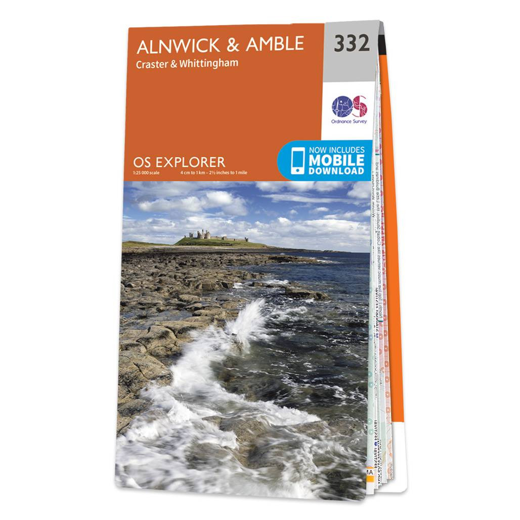
The OS Explorer map of Alnwick and Amble, including Craster and Whittingham, is a must-have when visiting the area.This map covers the Northumbrian Coast from Embleton Bay to Amble and inland as far as the source of the River Aln. Places to visit include...

OSI Discovery Sheet No. 89 covers part of County Cork at a 1:50 000 scale and is designed for all sorts of leisure activities including walking, cycling and tourism. Features shown on the Discovery series include walking trails, cycle routes, forest parks...
|
|