|
|
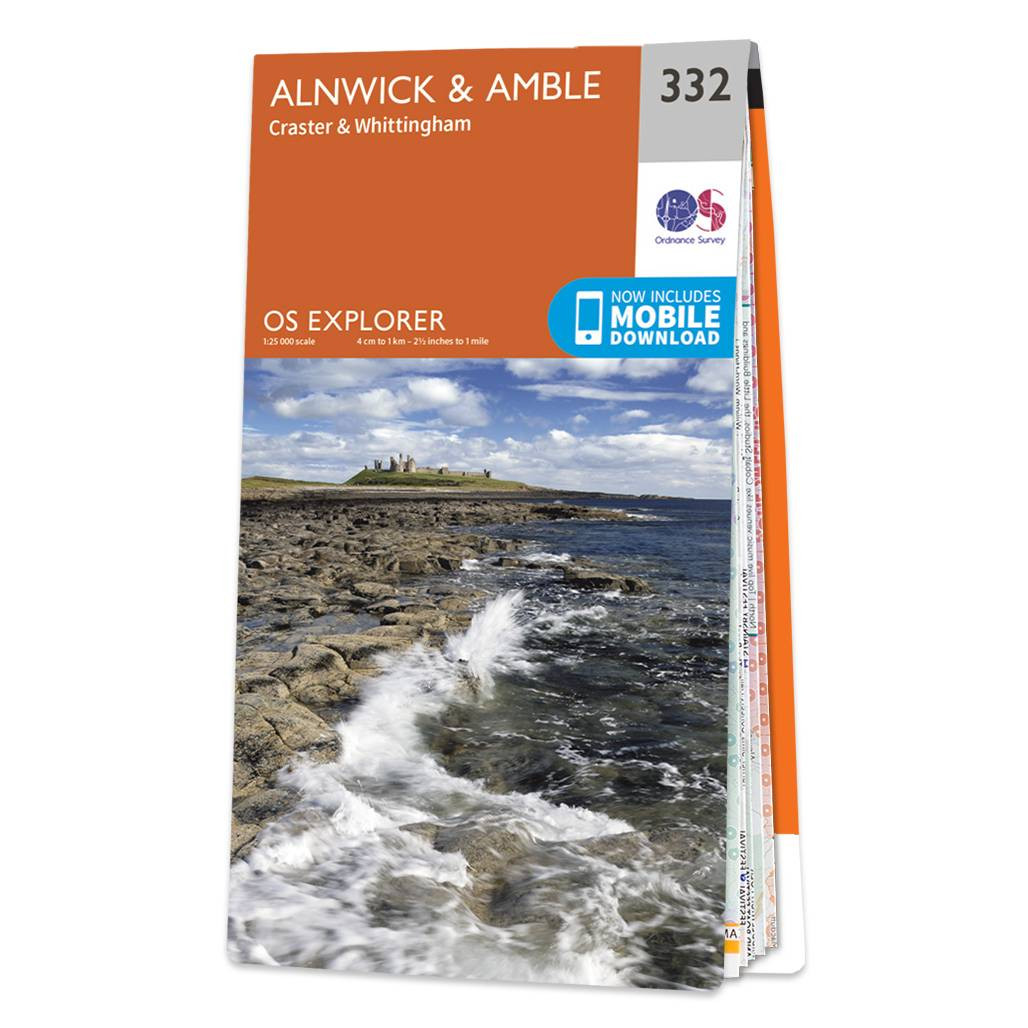
The OS Explorer map of Alnwick and Amble, including Craster and Whittingham, is a must-have when visiting the area.This map covers the Northumbrian Coast from Embleton Bay to Amble and inland as far as the source of the River Aln. Places to visit include Craster, Alnwick Castle, Wakworth Castle, Dunstanburgh Castle, Long Crag, and Rothbury. Our OS Explorer maps are perfect for day-tripping, extensive hikes, and cycling. They come in both standard and Weatherproof Active, so you'll never get caught out in a storm. This map also comes with a free digital download, so you can access it across your devices — making for a more convenient companion. Standard Publication Date: 31/05/2023 Weatherproof Publication Date: 22/09/2023
Price: £12.99 from Ordnance Survey
| Retailer | Price | |
|---|---|---|
| Ordnance Survey | £12.99 | Go to shop |

An authentic reproduction Ordnance Survey map of Alnwick from the Revised New Edition, 1896 to 1904. Printed flat, and delivered rolled in a tube. About our range of historical maps Our stunning Ordnance Survey Historical Maps make ideal gifts. Perfect...
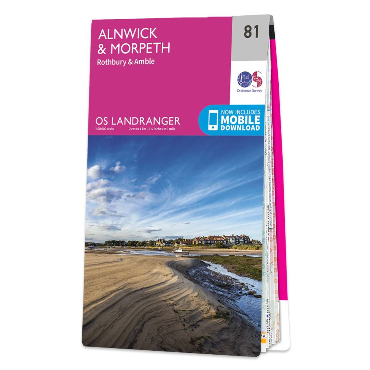
OS Landranger map 81: Alnwick and Morpeth, including Rothbury and Amble. This is a single sided map with card cover in 1:50 000 scale, ideal for cycling, tourism and general outdoor activities. Standard Publication Date: 29/05/202024 Weatherproof Publication...

Map of Helmsdale & Strath of Kildonan - OS Explorer Map 444 Format: Folded map Physical Size: 1000 x 890 mm (134 x 227 mm folded) Standard Publication Date: 16/09/2015 Weatherproof Publication Date: 16/09/2015
|
|