
Get the most up to date road mapping of Great Britain in its entirety. Updated in 2020 these maps cover the whole of the British Isles. They're in 1: 250 000 scale, ideal for driving or road-cycling. They also make a great alternative or handy backup...
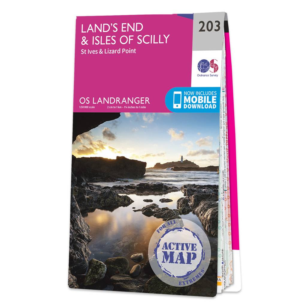
Revel in everything the furthest point of Cornwall has to offer with the Land's End & Isles of Scilly Landranger. Discover beautiful gems, like the 'Minack Theatre' — a marvellous amphitheatre built into the rock at Porthcurno.Take a wonder along St...
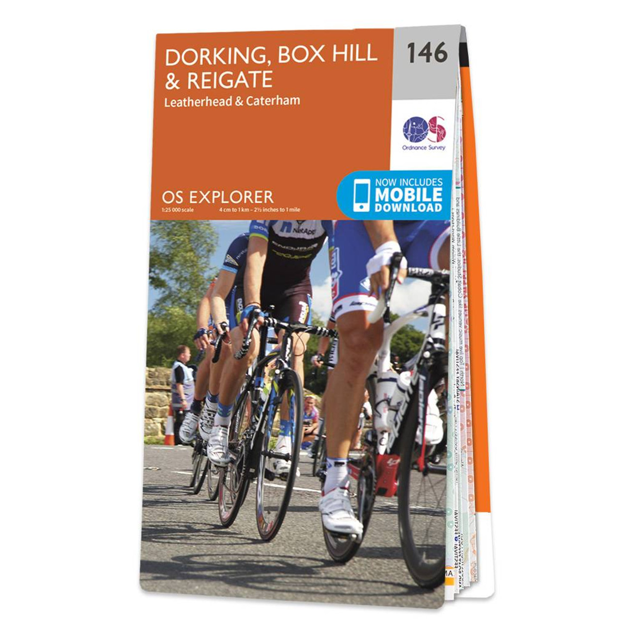
The OS Explorer map of Dorking, Box Hill, and Reigate, including Leatherhead and Caterham, is the most detailed mapping of the area and a must-have when planning your next trip! Highlights on this map include: Surrey Hills Area of Outstanding Natural...

Do you dream of a real adventure? This 256 page book created by the experts at Ordnance Survey will teach you all the skills you need, from understanding a map and using a compass to planning a trip and what to do in an emergency. There's advice on places...
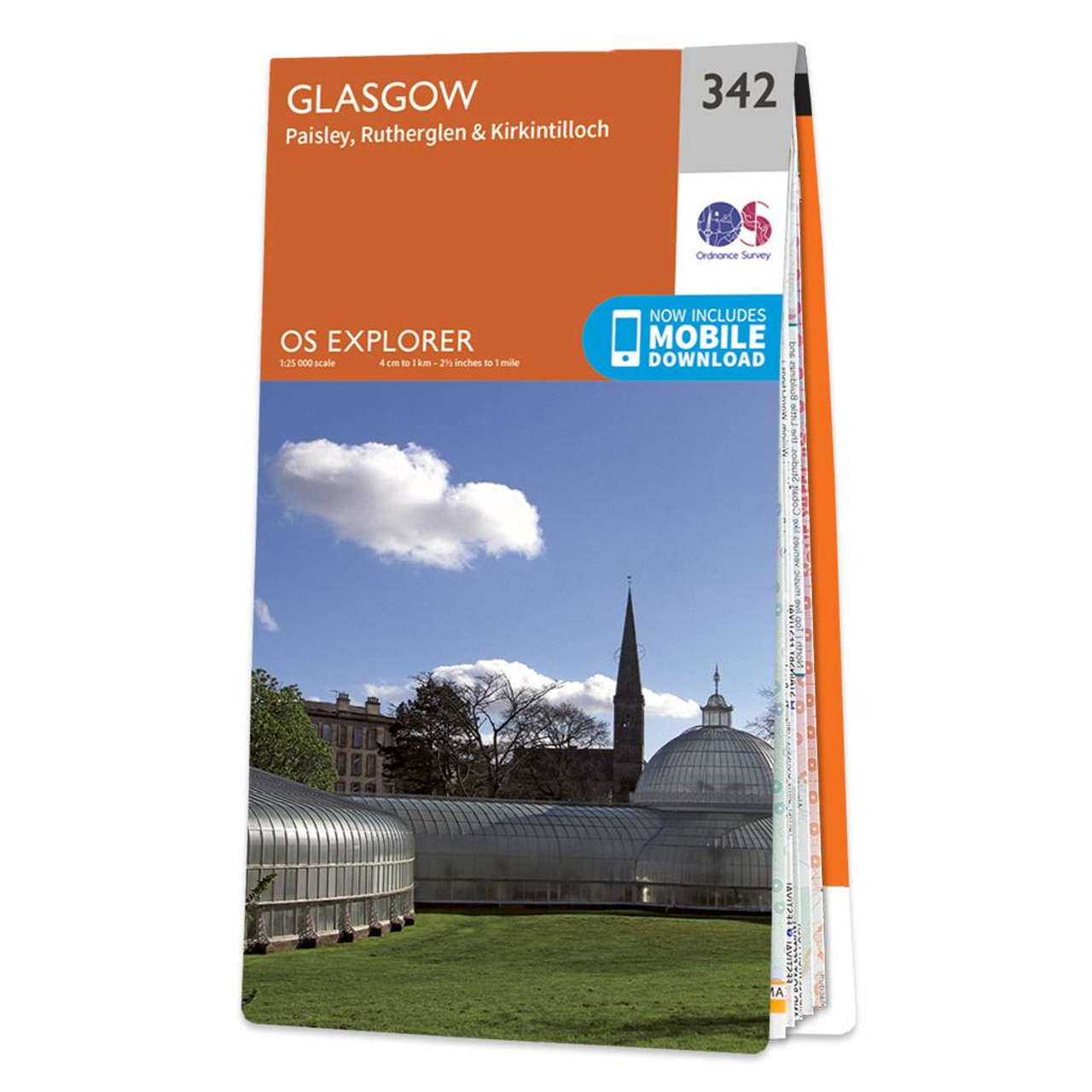
Map of Glasgow - OS Explorer Map 342 (Paisley, Rutherglen & Kirkintilloch) Standard Publication Date: 16/09/2015 Weatherproof Publication Date: 16/09/2015

Vale of Glamorgan West (inc. Porthcawl & Rhondda) map - OS Landranger 170 Format: Folded map Physical Size: 1125 x 890 mm (134 x 227 mm folded) Standard Publication Date: 13/03/2023 Weatherproof Publication Date: 14/06/2024

OSI Discovery sheet 02 covers part of County Donegal at a 1:50 000 scale, and is designed for all sorts of leisure activities including walking, cycling and tourism. Features shown on the Discovery series include walking trails, cycle routes, forest parks...
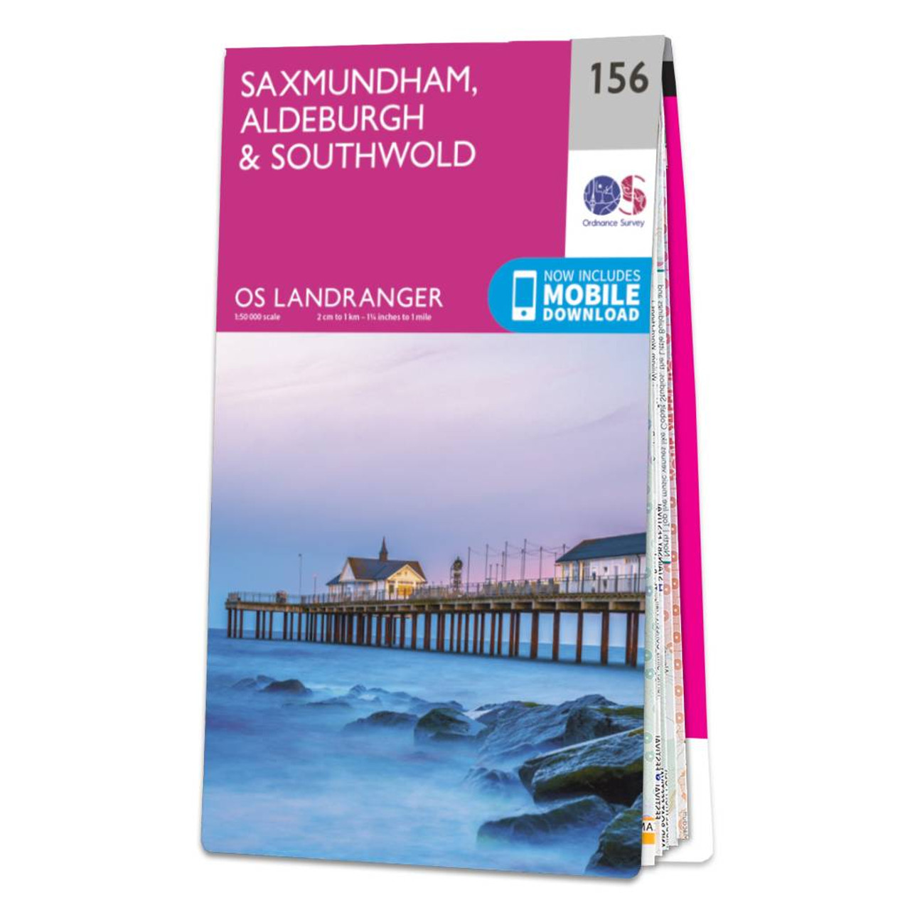
Saxmundham, Aldeburgh & Southwold map - OS Landranger 156 Standard Publication Date: 24/02/2020 Weatherproof Publication Date: 24/02/2020
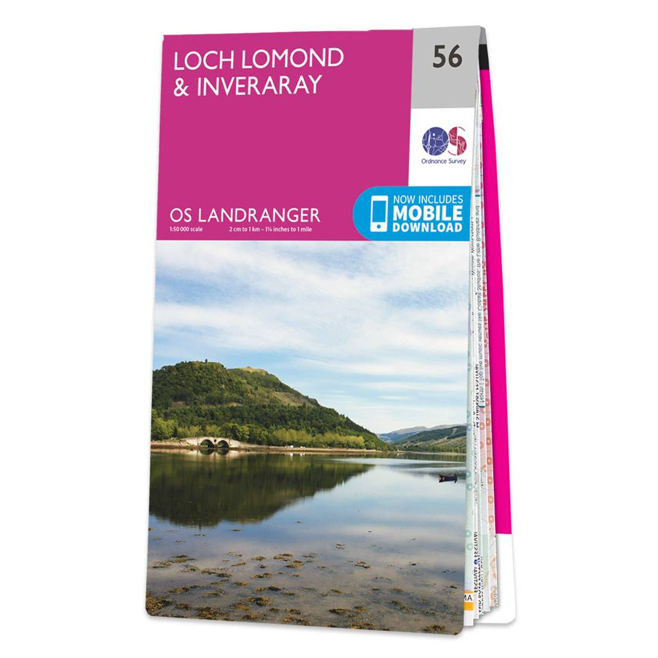
The Landranger map of Loch Lomond & Inverary is the perfect companion when planning a trip to the area. Landranger maps are perfect for extensive hikes, cycling, and driving holidays. Ideal for planning days out or holidays to the area nicknamed the 'gateway...

OSI Discovery Sheet No. 63 covers part of County Clare and Kerry at a 1:50 000 scale and is designed for all sorts of leisure activities including walking, cycling and tourism. Features shown on the Discovery series include walking trails, cycle routes,...
|
|