Map of Romsey, Andover & Test Valley - OS Explorer Map 131 (Stockbridge & Ludgershall) Format: Folded map Physical Size: 1000 x 890 mm (134 x 227 mm folded) Standard Publication Date: 16/09/2015 Weatherproof Publication Date: 16/09/2015
Map of Lleyn Peninsula East - OS Explorer Map 254 (Porthmadog, Criccieth & Pwllheli) Standard Publication Date: 17/02/2025 Weatherproof Publication Date: 28/04/2025
This is the OS Explorer Map of Newcastle upon Tyne - Sheet 316. It covers Gateshead, South Shields, Prudhoe, Ponteland, Cramlington and Whitley Bay. You'll also find the Great North Forest, part of Hadrians Wall, Horsley Hill, Killingworth, the Vindobala...
Map of Cardiff & Bridgend - OS Explorer Map 151 (Vale of Glamorgan) Standard Publication Date: 16/09/2015 Weatherproof Publication Date: 16/09/2015
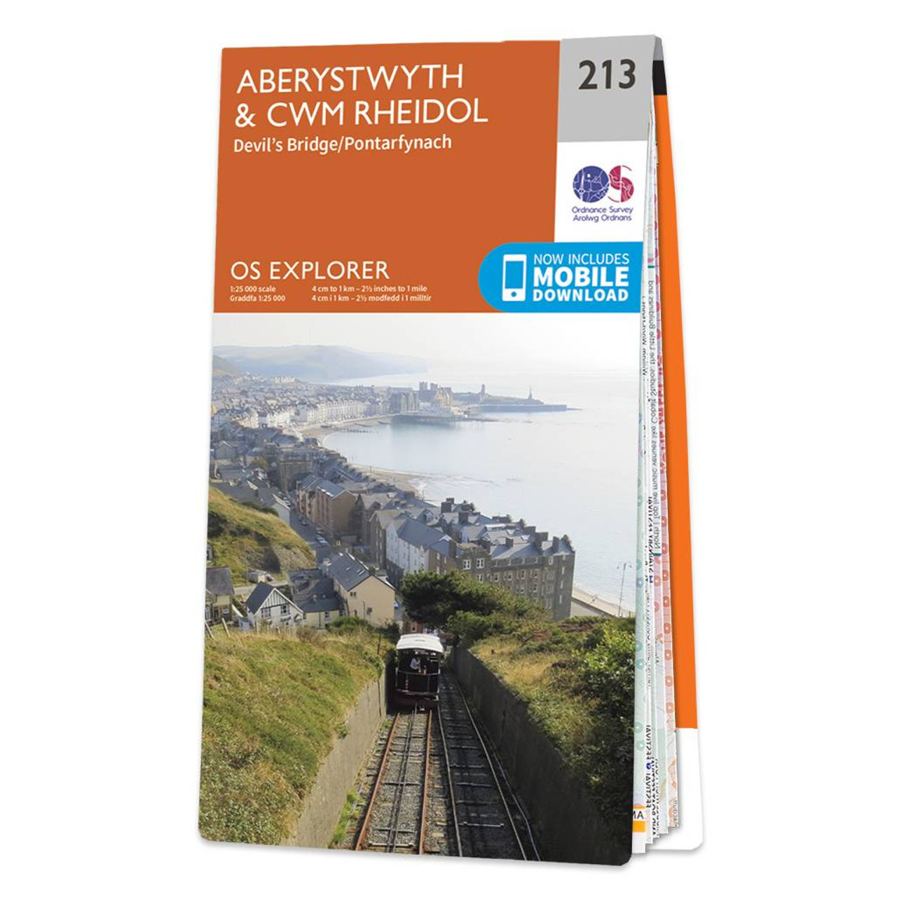
Purchase the Aberystwyth & Cwm Rheidol folded map: single-sided (boarded cover) from the OS Explorer Map range Format: Folded map Physical Size: 1270 x 952 mm (133 x 240 mm folded) Standard Publication Date: 16/09/2015 Weatherproof Publication Date: 16/09/2015
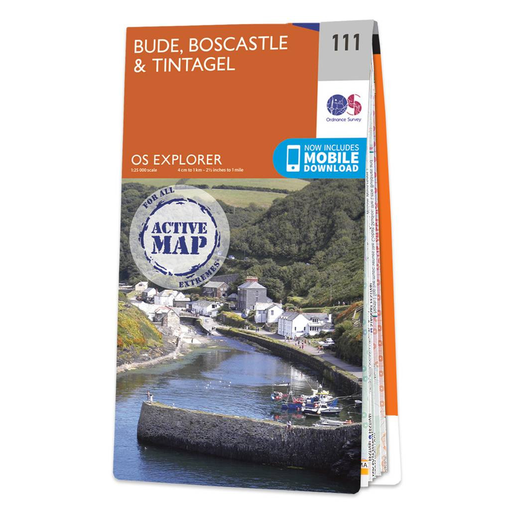
Map of Bude, Boscastle & Tintagel and the South West Coast Path - OS Explorer Map 111 Standard Publication Date: 22/09/2023 Weatherproof Publication Date: 18/03/2024

Map of Birmingham - OS Explorer Map 220 (Walsall, Solihull & Redditch) Standard Publication Date: 16/09/2015 Weatherproof Publication Date: 16/09/2015
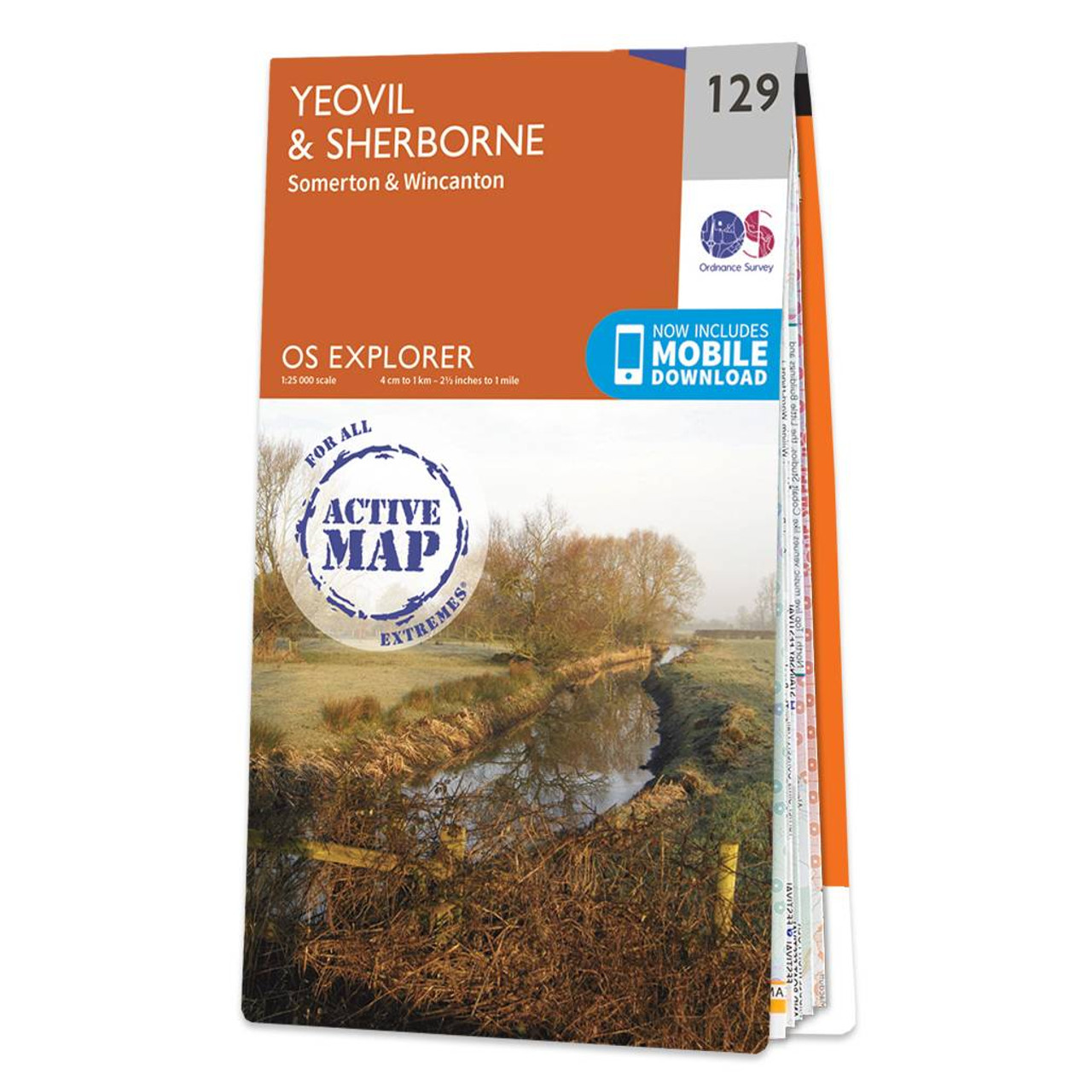
Map of Yeovil & Sherborne - OS Explorer Map 129 (Somerton & Wincanton) Standard Publication Date: 16/09/2015 Weatherproof Publication Date: 16/09/2015

Map of Bury St Edmunds & Stowmarket - OS Explorer Map 211 (Debenham & Elmswell) Format: Folded map Physical Size: 1000 x 890 mm (134 x 227 mm folded) Standard Publication Date: 16/09/2015 Weatherproof Publication Date: 16/09/2015

Map of Derby - OS Explorer Map 259 (Uttoxeter, Ashbourne & Cheadle) Format: Folded map Physical Size: 1000 x 890 mm (134 x 227 mm folded) Standard Publication Date: 16/09/2015 Weatherproof Publication Date; 16/09/2015
|
|