Map of Coventry & Warwick - OS Explorer Map 221 (Royal Leamington Spa & Kenilworth) Format: Folded map Physical Size: 952 x 1270 mm (133 x 240 mm folded) Standard Publication Date: 16/09/2015 Waterproof Publication Date: 16/09/2015
Map of Hastings & Bexhill - OS Explorer Map 124 (Battle & Robertsbridge) Standard Publication Date: 31/01/2017 Weatherproof Publication Date: 31/01/2017

The OS Explorer map of Gower is a must-have when visiting the Gower Area of Outstanding Natural Beauty in South Wales. The Gower Way and St Illytd's Way are covered in the area to the West of Swansea around Llanelli and the Mumbles. Other towns to explore...
Map of Dover, Folkestone & Hythe - OS Explorer Map 138 Standard Publication Date: 09/06/2025 Weatherproof Publication Date: 14/08/2018
Map of Bodmin Moor - OS Explorer Map 109 (Bodmin, Camelford & Liskeard) Standard Publication Date: 16/09/2015 Weatherproof Publication Date: 16/09/2015
Map of Sittingbourne & Faversham - OS Explorer Map 149 (Isle of Sheppey) Standard Publication Date: 06/08/2024 Weatherproof Publication Date: 20/01/2025
OS Explorer map of Abingdon, Wantage and Vale of White Horse in 1 : 25 000 scale Format: Folded map Physical Size: 1000 x 890 mm (134 x 227 mm folded) Standard Publication Date: 16/09/2015 Weatherproof Publication Date: 16/09/2015
The OS Explorer map of Gloucester, Cheltenham, and Stroud, is a must-have when visiting the area. Whether you're looking to visit the 11th-century Gloucester Cathedral, or you're planning a trip to Cheltenham, — famous for the Cheltenham festival. OS...
Map of Clovelly & Hartland - OS Explorer Map 126 (Bideford & Bradworthy) Standard Publication Date: 16/09/2015 Weatherproof Publication Date: 16/09/2015
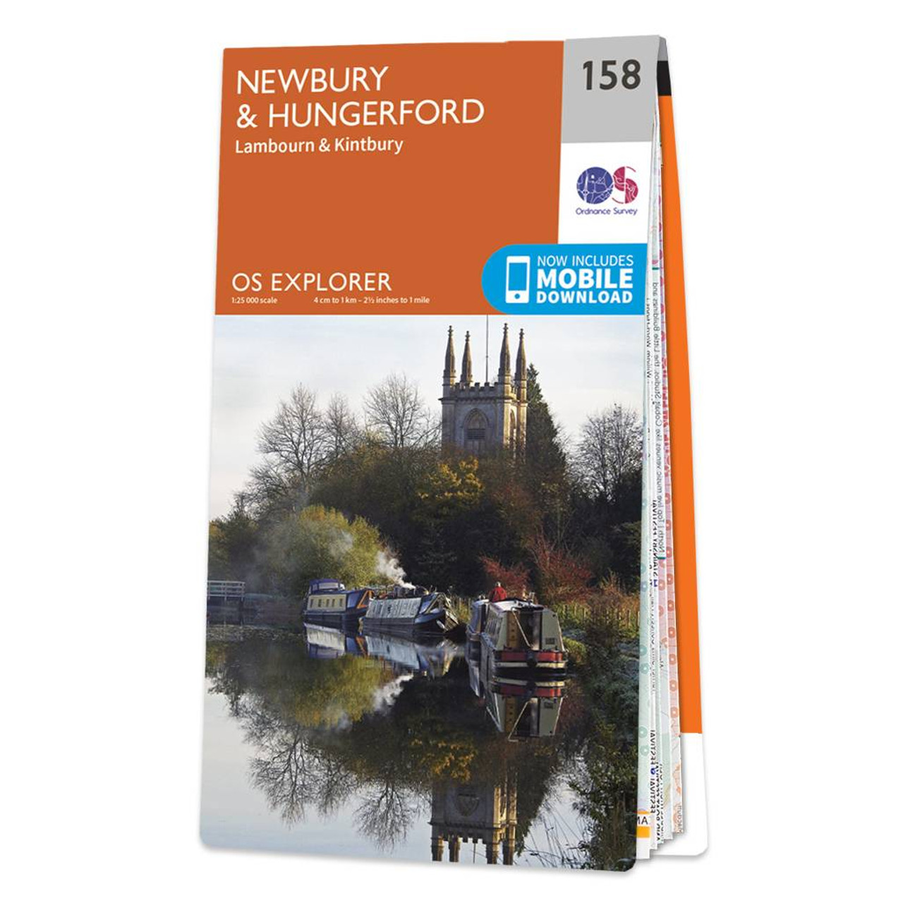
Map of Newbury & Hungerford - OS Explorer Map 158 (Lambourn & Kintbury) Format: Folded map Physical Size: 1270 x 952 mm (133 x 240 mm folded) Standard Publication Date: 16/09/2015 Weatherproof Publication Date: 16/09/2015
|
|