|
|

The OS Explorer map of Gower is a must-have when visiting the Gower Area of Outstanding Natural Beauty in South Wales. The Gower Way and St Illytd's Way are covered in the area to the West of Swansea around Llanelli and the Mumbles. Other towns to explore in the area include Burry Port, Goresinon, and Worms head. Our OS Explorer maps are perfect for day-tripping, extensive hikes, and cycling. They come in both standard and Weatherproof Active, so you'll never get caught out in a storm. This map also comes with a free digital download, so you can access it across your devices — making for a more convenient companion. Standard Publication Date: 16/09/2015 Weatherproof Publication Date: 16/09/2015
Price: £16.99 from Ordnance Survey
| Retailer | Price | |
|---|---|---|
| Ordnance Survey | £16.99 | Go to shop |
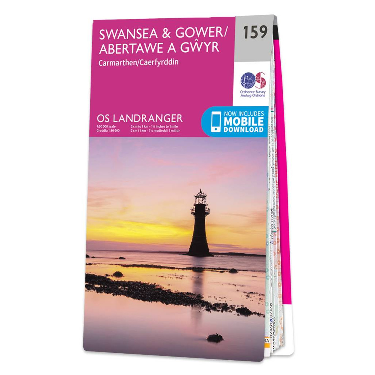
Swansea & Gower (inc. Carmarthen) map - OS Landranger 159 Standard Publication Date: 25/05/2023 Weatherproof Publication Date: 05/12/2023

Map of Helmsdale & Strath of Kildonan - OS Explorer Map 444 Format: Folded map Physical Size: 1000 x 890 mm (134 x 227 mm folded) Standard Publication Date: 16/09/2015 Weatherproof Publication Date: 16/09/2015

Map of Coll & Tiree - OS Explorer Map 372 Format: Folded map Physical Size: 1000 x 890 mm (134 x 227 mm folded) Standard Publication Date: 16/09/2015 Weatherproof Publication Date: 16/09/2015
|
|