Purchase the Banbury, Bicester & Chipping Norton folded map: double-sided (boarded cover) from the OS Explorer Map range Format: Folded map Physical Size: 890 x 1000 mm (134 x 227 mm folded) Standard Publication Date: 16/09/2015 Weatherproof Publication...
Map of St Albans & Hatfield - OS Explorer Map 182 (Hemel Hempstead & Welwyn Garden City) Standard Publication Date: 08/02/2018 Weatherproof Publication Date: 28/02/2018

Map of Bristol & Bath - OS Explorer Map 155 (Keynsham & Marshfield) Standard Publication Date: 27/02/2024 Weatherproof Publication Date: 16/09/2015
Map of Cardigan & New Quay - OS Explorer Map 198 (inc. Aberaeron) Standard Publication Date: 16/09/2015 Weatherproof Publication Date: 16/09/2015
Map of London South - OS Explorer Map 161 (Westminster, Greenwich, Croydon, Esher & Twickenham) Standard Publication Date: 16/09/2015 Weatherproof Publication Date: 16/09/2015
Map of Salisbury & Stonehenge - OS Explorer Map 130 (Wilton & Market Lavington) Standard Publication Date: 04/11/2024 Weatherproof Publication Date: 12/05/2025
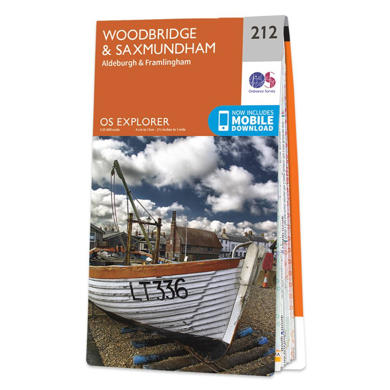
The OS Explorer map of Woodbridge and Saxmundham, including Aldeburgh and Framlingham is a must-have when visiting the area. Saxmundham is a quaint historic Market Town, full go charming shops and houses -- many are of Georgian and Victorian appearance....

Map of Redruth & St Agnes - OS Explorer Map 104 (Camborne & Perranporth) Standard Publication Date: 16/09/2015 Weatherproof Publication Date: 16/09/2015

Map of Braintree & Saffron Walden - OS Explorer Map 195 (Halstead & Great Dunmow) Format: Folded map Physical Size: 1000 x 890 mm (134 x 227 mm folded) Standard Publication Date: 16/09/2015 Weatherproof Publication Date: 16/09/2015
Map of Cannock Chase & Chasewater - OS Explorer Map 244 (Stafford, Rugeley & Cannock) Format: Folded map Physical Size: 952 x 1270 mm (133 x 240 mm folded) Standard Publication Date: 16/09/2015 Weatherproof Publication Date: 16/09/2015
|
|