|
|
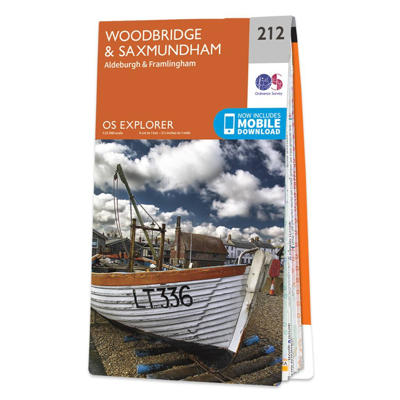
The OS Explorer map of Woodbridge and Saxmundham, including Aldeburgh and Framlingham is a must-have when visiting the area. Saxmundham is a quaint historic Market Town, full go charming shops and houses -- many are of Georgian and Victorian appearance. While Woodbridge on the other hand is a bit more bustling with shops, pubs, restaurants, and numerous activities both indoors and outdoors.Some more highlights include: Aldeburgh bay, Orford Ness, the Suffolk Coast path, Rivers even and Alde, the Suffolk coast and Heath Area of Natural Beauty. Our OS Explorer maps are perfect for day-tripping, extensive hikes, and cycling. They come in both standard and Weatherproof Active, so you'll never get caught out in a storm. This map also comes with a free digital download, so you can access it across your devices — making for a more convenient companion. Standard Publication Date: 16/09/2015 Weatherproof Publication Date: 16/09/2015
Price: £12.99 from Ordnance Survey
| Retailer | Price | |
|---|---|---|
| Ordnance Survey | £12.99 | Go to shop |
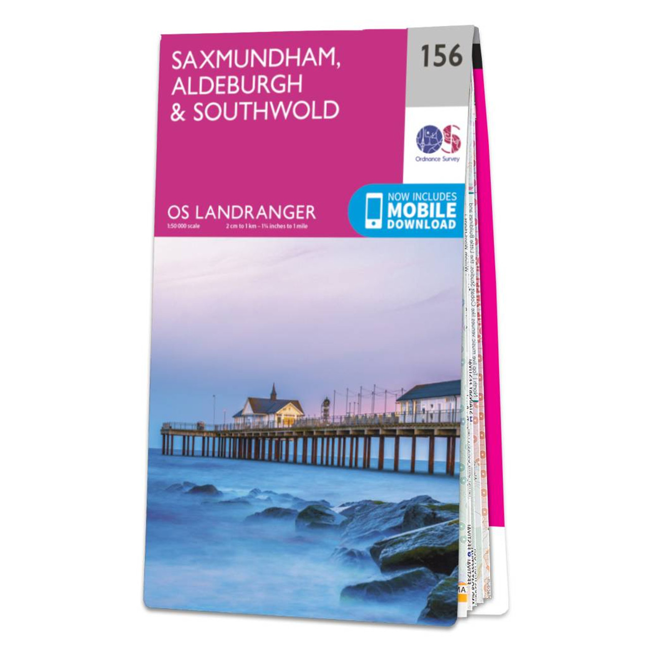
Saxmundham, Aldeburgh & Southwold map - OS Landranger 156 Standard Publication Date: 24/02/2020 Weatherproof Publication Date: 24/02/2020

Map of Helmsdale & Strath of Kildonan - OS Explorer Map 444 Format: Folded map Physical Size: 1000 x 890 mm (134 x 227 mm folded) Standard Publication Date: 16/09/2015 Weatherproof Publication Date: 16/09/2015

Map of Coll & Tiree - OS Explorer Map 372 Format: Folded map Physical Size: 1000 x 890 mm (134 x 227 mm folded) Standard Publication Date: 16/09/2015 Weatherproof Publication Date: 16/09/2015
|
|