Map of Welshpool & Montgomery - OS Explorer Map 216 (Bishop's Castle) Format: Folded map Physical Size: 952 x 1270 mm (133 x 240 mm folded) Standard Publication Date: 16/09/2015 Weatherproof Publication Date: 16/09/2015
Map of High Weald - OS Explorer Map 136 (Royal Tunbridge Wells Cranbrook, Hawkhurst & Bewl Water) Standard Publication Date: 16/09/2015 Weatherproof Publication Date: 16/09/2015

Map of Sudbury, Hadleigh & Dedham Vale - OS Explorer Map 196 (Lavenham & Long Melford) Format: Folded map Physical Size: 1270 x 952 mm (133 x 240 mm folded) Standard Publication Date: 16/09/2015 Weatherproof Publication Date: 16/09/2015

Map of Windsor, Weybridge & Bracknell - OS Explorer Map 160 Standard Publication Date: 16/09/2015 Weatherproof Publication Date: 16/09/2015
OS Explorer Map OL53 covers Lochnagar, Glen Muick and Glen Clova, including Ballater, Balmoral, Loch Muick, Invergelder and Glenprosen village. It's 1:25 000 scale and shows footpaths and trails across this mountainous region. Standard Publication Date:...
Map of Northwich & Delamere Forest - OS Explorer Map 267 (Winsford & Middlewich) Format: Folded map Physical Size: 1270 x 952 mm (133 x 240 mm folded) Standard Publication Date: 16/09/2015 Weatherproof Publication Date: 16/09/2015

Map of Quantock Hills & Bridgwater - OS Explorer Map 140 Format: Folded map Physical Size: 1270 x 952 mm (133 x 240 mm folded) Standard Publication Date: 24/02/2025 Weatherproof Publication Date: 17/03/2025
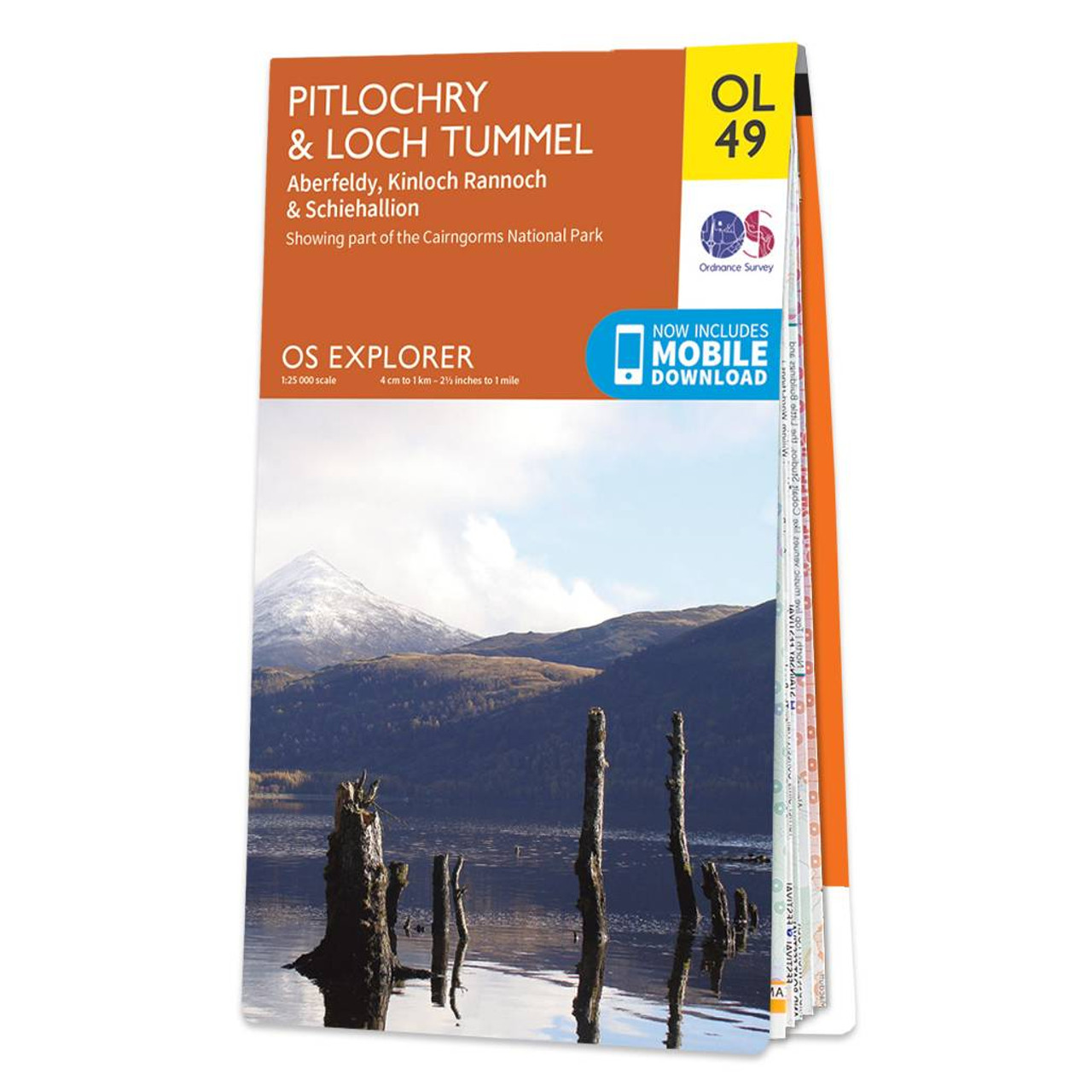
Map of Pitlochry & Loch Tummel - OS Explorer Map OL 49 (Aberfeldy, Kinloch Rannoch & Schiehallion) Format: Folded map Physical Size: 890 x 1000 mm (134 x 227 mm folded) Standard Publication Date: 10/06/2015 Weatherproof Publication Date: 10/06/2015

Purchase the Anglesey West folded map: single-sided (boarded cover) from the OS Explorer Map range Format: Folded map Physical Size: 1270 x 952 mm (133 x 240 mm folded) Standard Publication Date: 16/09/2015 Weatherproof Publication Date: 16/09/2015

Map of Sheffield & Barnsley - OS Explorer Map 278 (Rotherham) Standard Publication Date: 16/09/2015 Weatherproof Publication Date: 30/01/2020
|
|