StarNIC   V 1.3
 

Order by: Relevance
Price: Low to High, High to Low

 
Image of Ordnance Survey OS Map of Hereford & Ross-on-wye: Explorer 189
 

Ordnance Survey OS Map of Hereford & Ross-on-wye: Explorer 189

Map of Hereford & Ross-on-Wye - OS Explorer Map 189 Standard Publication Date: 16/09/2015 Weatherproof Publication Date: 16/09/2015


Image of Ordnance Survey OS Map of Scarborough, Bridlington & Flamborough Head: Explorer 301
 

Ordnance Survey OS Map of Scarborough, Bridlington & Flamborough Head: Explorer 301

Map of Scarborough, Bridlington & Flamborough Head - OS Explorer Map 301 Standard Publication Date: 19/10/2017 Weatherproof Publication Date: 18/01/2018


Image of Ordnance Survey OS Map of Ashdown Forest: Explorer 135
 

Ordnance Survey OS Map of Ashdown Forest: Explorer 135

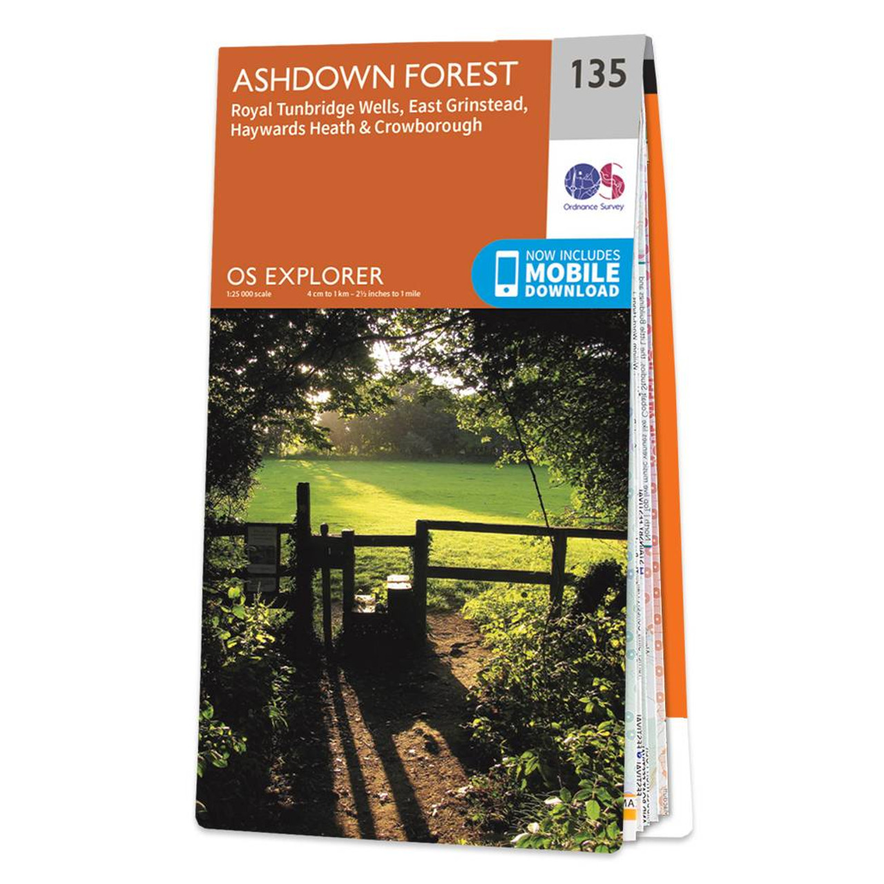
The OS Explorer Ashdown Forest map gives you everything you need to explore Ashdown Forest, Royal Tunbridge Wells, East Grinstead, Haywards Heath, Crowborough, Uckfield, Heathfield, and the High Weald. Discover the inspiration for the 'Hundred acre woods,'...


Image of Ordnance Survey OS Map of Bradford & Huddersfield: Explorer 288
 

Ordnance Survey OS Map of Bradford & Huddersfield: Explorer 288

Map of Bradford & Huddersfield - OS Explorer Map 288 (East Calderdale) Standard Publication Date: 23/01/2020 Weatherproof publication Date: 09/06/2020


Image of Ordnance Survey OS Map of Knighton & Presteigne: Explorer 201
 

Ordnance Survey OS Map of Knighton & Presteigne: Explorer 201

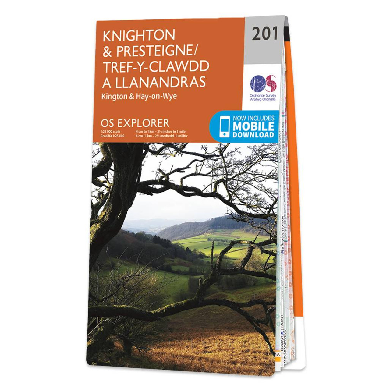
Map of Knighton & Presteigne - OS Explorer Map 201 (Kington & Hay-on-Wye) Standard Publication Date: 22/09/2023 Weatherproof Publication Date: 16/09/2015


Image of Ordnance Survey OS Map of Wilmslow, Macclesfield & Congleton: Explorer 268
 

Ordnance Survey OS Map of Wilmslow, Macclesfield & Congleton: Explorer 268

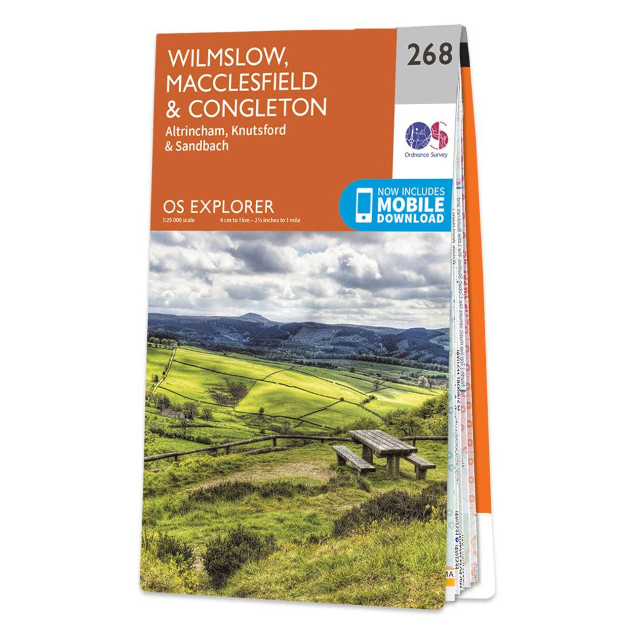
Map of Wilmslow, Macclesfield & Congleton - OS Explorer Map 268 (Altrincham, Knutsford & Sandbach) Format: Folded map Physical Size: 890 x 1000 mm (134 x 227 mm folded) Standard Publication Date: 16/09/2015 Weatherproof Publication Date: 16/09/2015


Image of Ordnance Survey OS Map of Bristol West & Portishead: Explorer 154
 

Ordnance Survey OS Map of Bristol West & Portishead: Explorer 154

Map of Bristol West & Portishead - OS Explorer Map 154 (Congresbury & Chew Magna) Standard Publication Date: 16/09/2015 Weatherproof Publication Date: 16/09/2015


Image of Ordnance Survey OS Map of Southwold & Bungay: Explorer 231
 

Ordnance Survey OS Map of Southwold & Bungay: Explorer 231

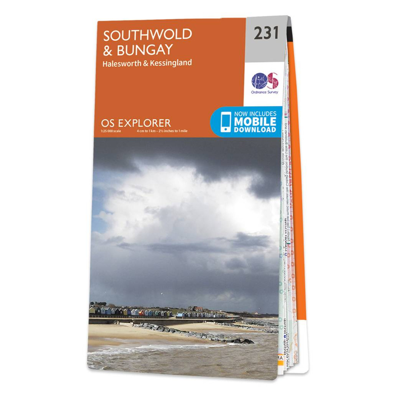
Map of Southwold & Bungay - OS Explorer Map 231 (Halesworth & Kessingland) Standard Publication Date: 16/09/2015 Weatherproof Publication Date: 16/09/2015


Image of Ordnance Survey OS Map of Lower Wharfedale & Washburn Valley: Explorer 297
 

Ordnance Survey OS Map of Lower Wharfedale & Washburn Valley: Explorer 297

Map of Lower Wharfedale & Washburn Valley - OS Explorer Map 297 (Harrogate & Ilkley Moor) Standard Publication Date: 16/09/2015 Weatherproof Publication Date: 16/09/2015


Image of Ordnance Survey OS Map of Canterbury & the Isle of Thanet: Explorer 150
 

Ordnance Survey OS Map of Canterbury & the Isle of Thanet: Explorer 150

Map of Canterbury & Isle of Thanet - OS Explorer Map 150 (Herne Bay, Deal & Whitstable) Standard Publication Date: 08/01/2024 Weatherproof Publication Date: 17/04/2024


Online Shopping Price Comparison UK © StarNIC 2016 - 2025 All rights reserved.

Designated trademarks brands Logos and certain artworks used
on StarNIC.net are the property of their respective owners.