StarNIC   V 1.3


Image of Ordnance Survey OS Map of Wilmslow, Macclesfield & Congleton: Explorer 268
 

Ordnance Survey OS Map of Wilmslow, Macclesfield & Congleton: Explorer 268

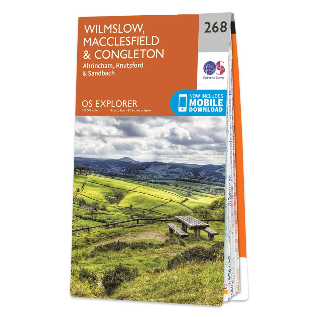
Map of Wilmslow, Macclesfield & Congleton - OS Explorer Map 268 (Altrincham, Knutsford & Sandbach) Format: Folded map Physical Size: 890 x 1000 mm (134 x 227 mm folded) Standard Publication Date: 16/09/2015 Weatherproof Publication Date: 16/09/2015

Price: £12.99 from Ordnance Survey

Retailer Retailer Product Description Price  
Ordnance Survey Ordnance Survey OS Map of Wilmslow, Macclesfield & Congleton: Explorer 268 £12.99 Go to shop

Related Products

 
Image of Ordnance Survey OS Map of Stoke-on-trent & Macclesfield: Landranger 118
 

Ordnance Survey OS Map of Stoke-on-trent & Macclesfield: Landranger 118

Stoke-on-Trent & Macclesfield map - OS Landranger 118 Standard Publication Date: 22/06/2017 Weatherproof Publication Date: 26/07/2017


Image of Ordnance Survey OS Map of Helmsdale & Strath of Kildonan Explorer: Explorer 444
 

Ordnance Survey OS Map of Helmsdale & Strath of Kildonan Explorer: Explorer 444

Map of Helmsdale & Strath of Kildonan - OS Explorer Map 444 Format: Folded map Physical Size: 1000 x 890 mm (134 x 227 mm folded) Standard Publication Date: 16/09/2015 Weatherproof Publication Date: 16/09/2015


Image of Ordnance Survey OS Map of Coll & Tiree Explorer: Explorer 372
 

Ordnance Survey OS Map of Coll & Tiree Explorer: Explorer 372

Map of Coll & Tiree - OS Explorer Map 372 Format: Folded map Physical Size: 1000 x 890 mm (134 x 227 mm folded) Standard Publication Date: 16/09/2015 Weatherproof Publication Date: 16/09/2015


Online Shopping Price Comparison UK © StarNIC 2016 - 2025 All rights reserved.

Designated trademarks brands Logos and certain artworks used
on StarNIC.net are the property of their respective owners.