
OSI Discovery Sheet No. 87 covers part of County Cork at a 1:50 000 scale and is designed for all sorts of leisure activities including walking, cycling and tourism. Features shown on the Discovery series include walking trails, cycle routes, forest parks...

OSI Discovery Sheet No. 65 covers part of County Clare, Limerick and Tipperary at a 1:50 000 scale and is designed for all sorts of leisure activities including walking, cycling and tourism. Features shown on the Discovery series include walking trails,...
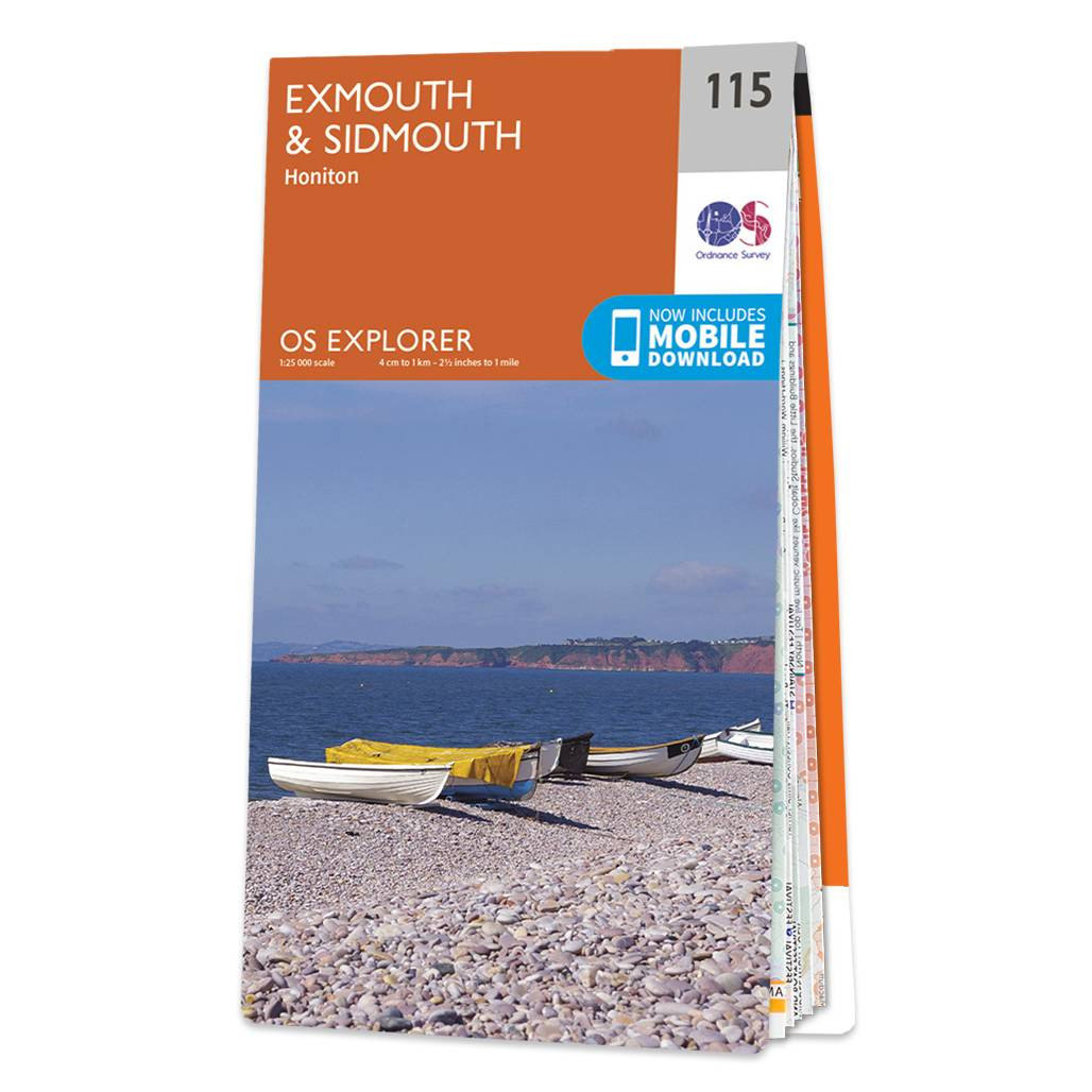
The OS Explorer map of Exmouth and Sidmouth is a must-have when visiting this area of the Jurassic coast.With beautiful walking routes, stunning scenery, and sandy beaches, it's no surprise that Exmouth and Sidmouth are popular holiday destinations. This...

Lake District and Cumbria OS Tour map: 1:110,000 tourist map

Barnard Castle & Richmond (inc. Teesdale) map - OS Landranger map 92 Standard Publication Date: 24/04/2017 Weatherproof Publication Date: 17/04/2017
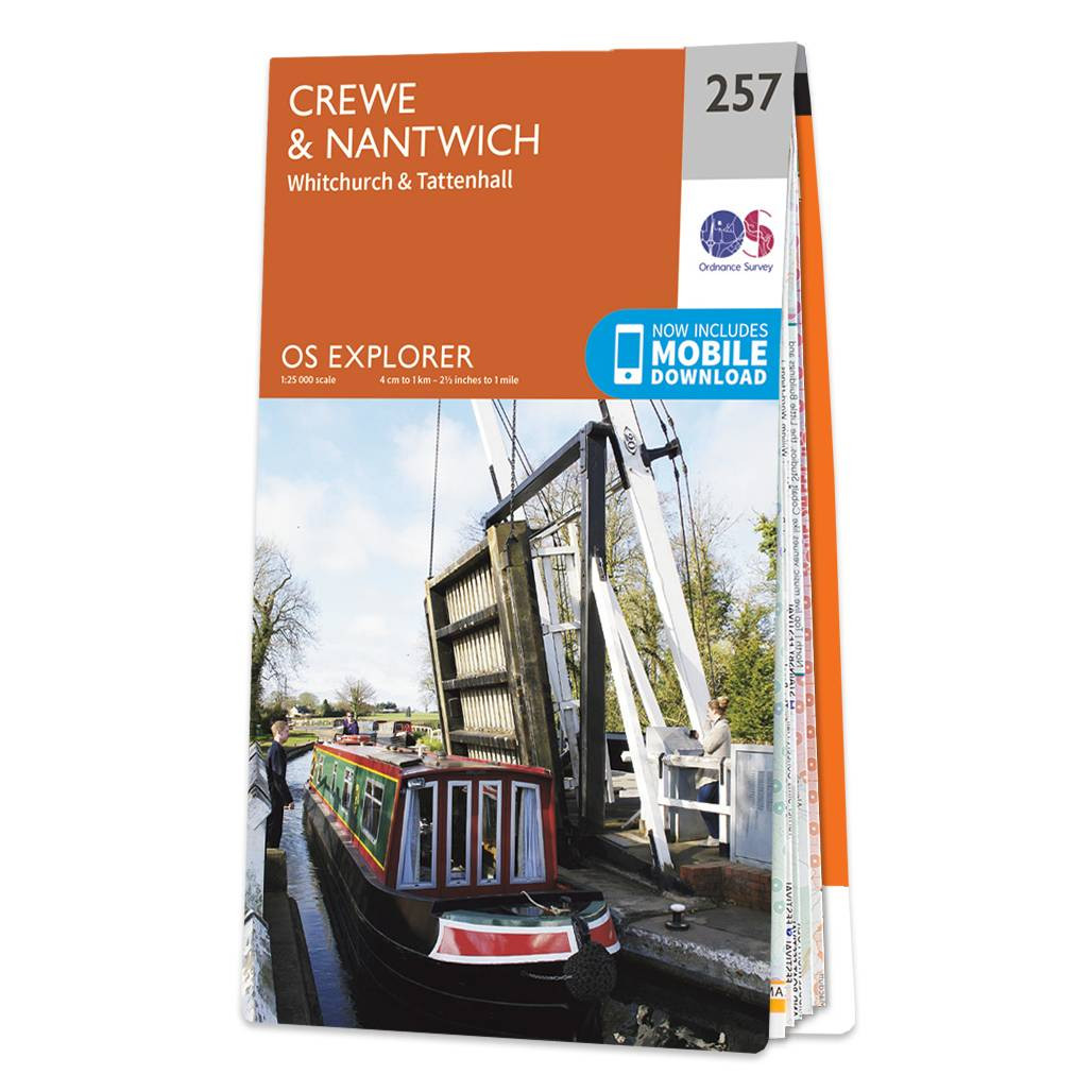
Map of Crewe & Nantwich - OS Explorer Map 257 (Whitchurch & Tattenhall) Format: Folded map Physical Size: 1000 x 890 mm (134 x 227 mm folded) Standard Publication Date: 14/06/2023 Weatherproof Publication Date: 14/06/2023
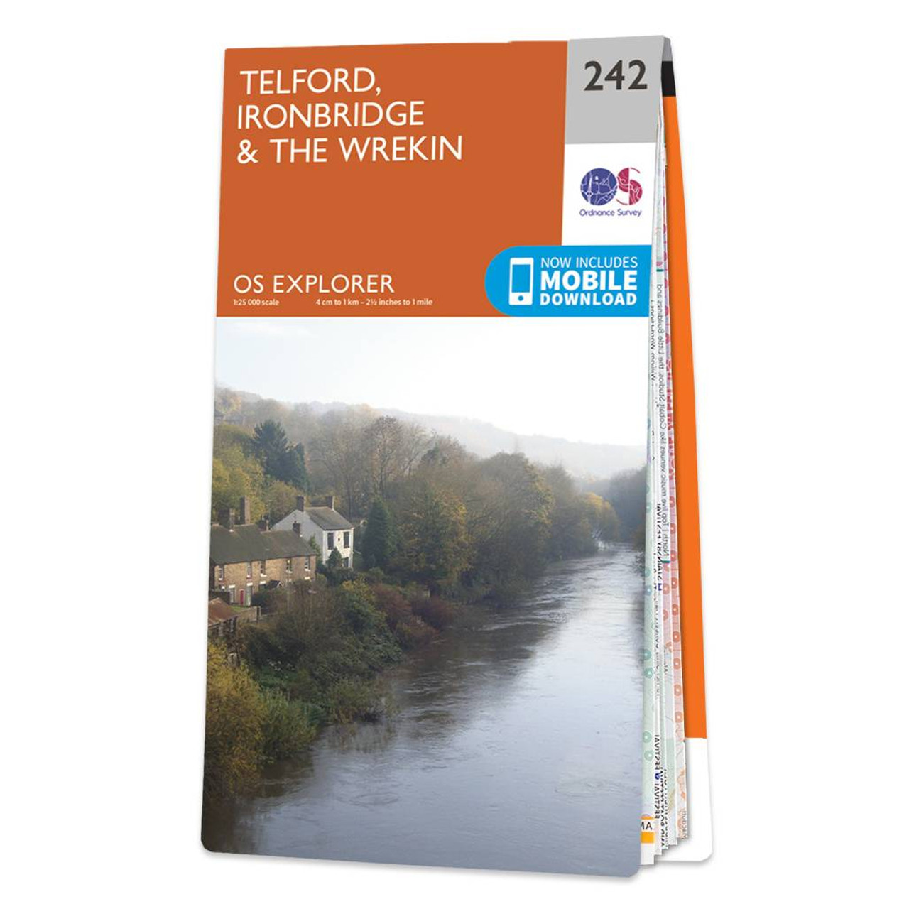
Map of Telford, Ironbridge & The Wrekin - OS Explorer Map 242 Format: Folded map Physical Size: 1270 x 952 mm (133 x 240 mm folded) Standard Publication Date: 16/09/2015 Weatherproof Publication Date: 16/09/2015
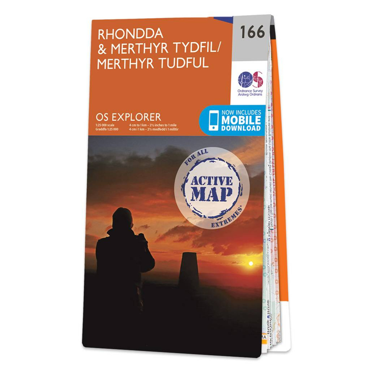
Map of Rhondda & Merthyr Tydfil - OS Explorer Map 166 Standard Publication Date: 26/01/2018 Weatherproof Publication Date: 21/02/2018

OSI Discovery Sheet No. 38 covers part of County Mayo and Galway at a 1:50 000 scale and is designed for all sorts of leisure activities including walking, cycling and tourism. Features shown on the Discovery series include walking trails, cycle routes,...
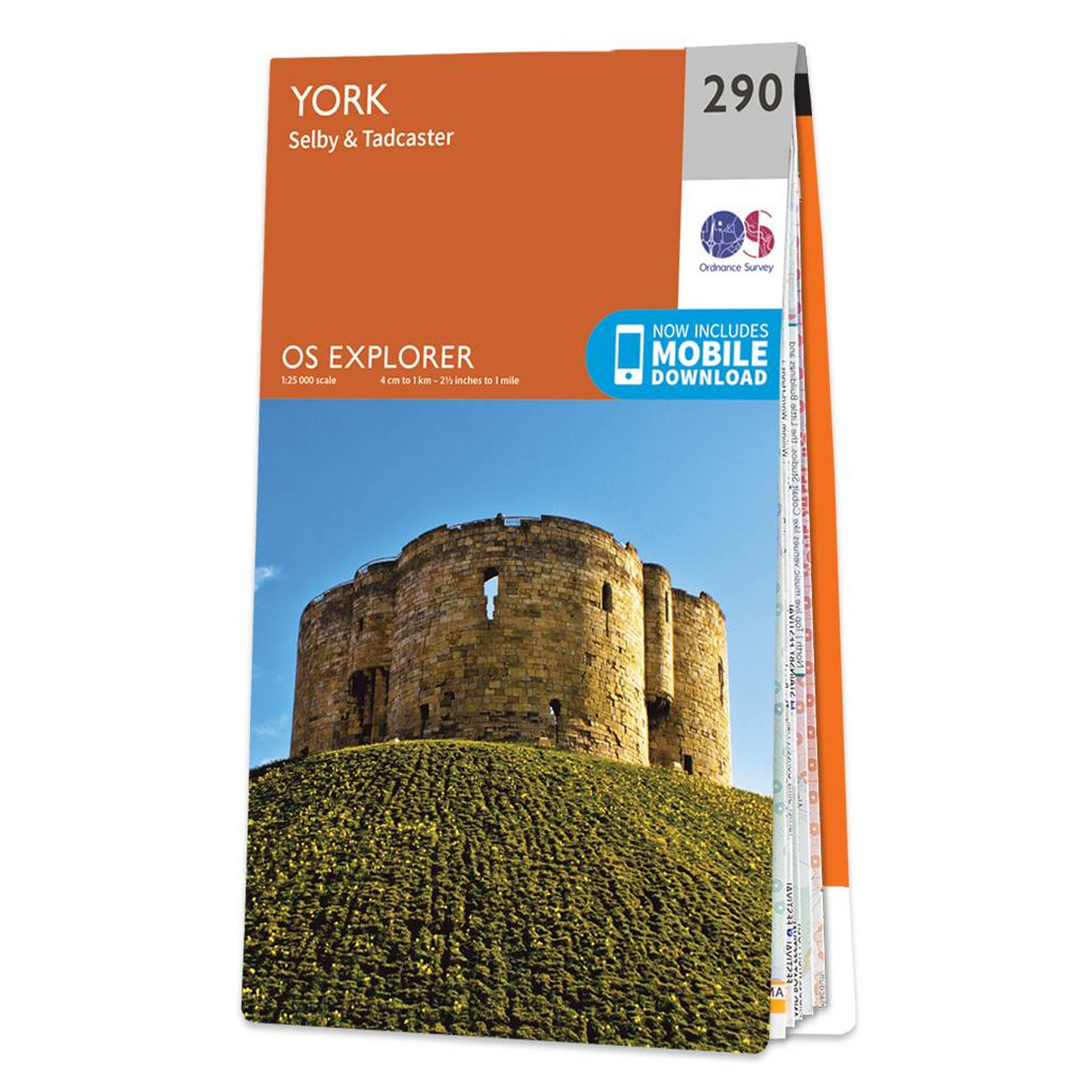
Map of York - OS Explorer Map 290 (Selby & Tadcaster) Standard Publication Date: 18/03/2024 Weatherproof Publication Date: 16/09/2015
|
|