|
|
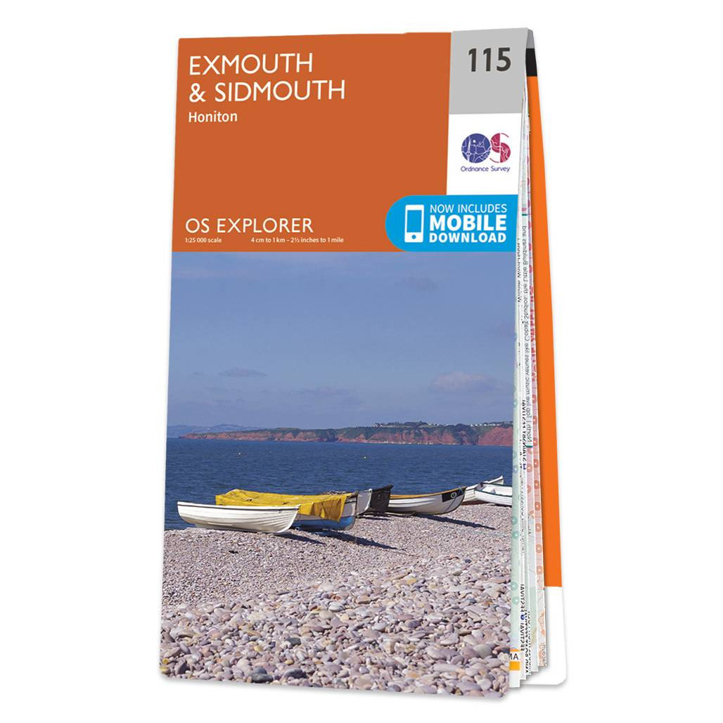
The OS Explorer map of Exmouth and Sidmouth is a must-have when visiting this area of the Jurassic coast.With beautiful walking routes, stunning scenery, and sandy beaches, it's no surprise that Exmouth and Sidmouth are popular holiday destinations. This map covers the East Devon coast, including Honiton, Budleigh Salterton, Ottery St Mary, and of course Exmouth and Sidmouth. Some more highlights include East Devon Area of Outstanding Natural Beauty, Blackdown hills, East Devon Way, and South West Coast Path. Our OS Explorer maps are perfect for day-tripping, extensive hikes, and cycling. They come in both standard and Weatherproof Active, so you'll never get caught out in a storm. This map also comes with a free digital download, so you can access it across your devices — making for a more convenient companion. Standard Publication Date: 16/09/2015 Weatherproof Publication Date: 16/09/2015
Price: £12.99 from Ordnance Survey
| Retailer | Price | |
|---|---|---|
| Ordnance Survey | £12.99 | Go to shop |

Exeter & Sidmouth (inc. Exmouth & Teignmouth) map - OS Landranger 192 Standard Publication Date: 18/07/2019 Weatherproof Publication Date: 14/08/2019

An authentic reproduction Ordnance Survey map of Sidmouth from the Revised New Edition, 1896 to 1904. Printed flat, and delivered rolled in a tube. About our range of historical maps Our stunning Ordnance Survey Historical Maps make ideal gifts. Perfect...

Map of Helmsdale & Strath of Kildonan - OS Explorer Map 444 Format: Folded map Physical Size: 1000 x 890 mm (134 x 227 mm folded) Standard Publication Date: 16/09/2015 Weatherproof Publication Date: 16/09/2015
|
|